U.S. Geological Survey Flood Capabilities.
Explore the U.S. Geological Survey's flood capabilities in Connecticut, including real-time streamflow data, precipitation monitoring, groundwater levels, and more. Access tools for flood documentation, peakflow analysis, and national water monitoring through interactive dashboards. Stay informed and prepared with a wealth of information on flood risks and mitigation strategies.

Download Presentation

Please find below an Image/Link to download the presentation.
The content on the website is provided AS IS for your information and personal use only. It may not be sold, licensed, or shared on other websites without obtaining consent from the author. Download presentation by click this link. If you encounter any issues during the download, it is possible that the publisher has removed the file from their server.
E N D
Presentation Transcript
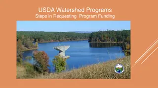
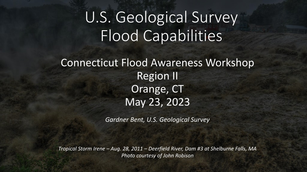
U.S. Geological Survey Flood Capabilities Connecticut Flood Awareness Workshop Region II Orange, CT May 23, 2023 Gardner Bent, U.S. Geological Survey Tropical Storm Irene Aug. 28, 2011 Deerfield River, Dam #3 at Shelburne Falls, MA Photo courtesy of John Robison
Overview USGS Real-Time Connecticut Data Network Streamflow 72 streamgages Estuary 8 tide gages Precipitation 18 gages Groundwater levels 10 gages (44 monthly measurement sites) Water-quality 24 gages (other discrete sampled sites) This includes a number of streamgages not show by the Northeast River Forecast Center
Connecticut Real-Time Streamflow https://waterwatch.usgs.gov/ new/index.php?r=ct&m=real
Connecticut Connecticut Real Real- -Time Streamflow Streamflow Table Table Time https://waterdata.usgs.gov/ct/ nwis/current?type=flow
Streamflow Hydrograph
Flood Documentation USGS NWISweb plots and tables of annual peakflows USGS WaterWatch tools to create selected graphics showing current peakflow, last 365 days, and previous 4 highest peaks of record Peakflow recurrence intervals on real-time NWISweb streamflow hydrographs Ahearn (2020) at-site streamgage annual exceedance probability (AEP) flood flows
National Water Dashboard https://dashboard.waterdata.usgs.gov/app/nwd/en/?aoi=default
Connecticut Precipitation Hydrograph
Real-Time Tide Data https://waterdata.usgs.gov/ct/ nwis/current/?type=estuary&g roup_key=basin_cd
Connecticut Water-Level Hydrograph
Groundwater Levels Data https://waterdata.usgs.gov/ct/ nwis/current/?type=gw&group _key=basin_cd Water-Quality Data https://waterdata.usgs.gov/ct/nw is/current/?type=quality&group_ key=basin_cd
Hydrologic Imagery Visualization USGS HIVIS (Hydrologic Imagery Visualization and Information System) Flow Photo Explorer | USGS Next Generation Water Observing System (NGWOS) | U.S. Geological Survey (usgs.gov)
Connecticut Peakflow Statistics and Equations At-site (streamgage) statistics of the 50-, 10-, 4-, 2-, 1-, 0.5-, and 0.2- percent annual exceedance probabilities flood flows Equations for estimating the 50-, 10-, 4-, 2-, 1-, 0.5-, and 0.2-percent annual exceedance probabilities flood flows https://pubs.er.usgs.gov/publication/ sir20205054
USGS StreamStats User can access at-site (streamgage) flow statistics User can click on any ungaged stream location and return estimated peakflow and low- flow statistics https://streamstats.usgs.gov/ss/
USGS Flood Event Viewer USGS water-level data for major riverine and tropical cyclone flood events: Rapid-deployment gages Temporary storm sensors High-water marks Hurricane Sandy October 29, 2012 https://stn.wim.usgs.gov/FEV/
High-Water Marks
Questions USGS New England Flood Information: New England Flood Information | U.S. Geological Survey (usgs.gov) Contacts: Tim Sargent tcsargen@usgs.gov 860-291-6754 Jon Morrison jmorriso@usgs.gov 860-291-6761 Liz Ahearn eaahearn@usgs.gov 860-291-6745