Understanding Hurricane Dynamics and Impacts
Explore meteorological concepts related to hurricanes, including hurricane paths, storm surges, wind patterns, and energy transfer. Dive into topics such as contour heights, wind speeds, and angular momentum conservation to deepen your understanding of these natural phenomena. Don't miss out on valuable insights and visuals to enhance your knowledge in meteorology.

Download Presentation

Please find below an Image/Link to download the presentation.
The content on the website is provided AS IS for your information and personal use only. It may not be sold, licensed, or shared on other websites without obtaining consent from the author. Download presentation by click this link. If you encounter any issues during the download, it is possible that the publisher has removed the file from their server.
E N D
Presentation Transcript
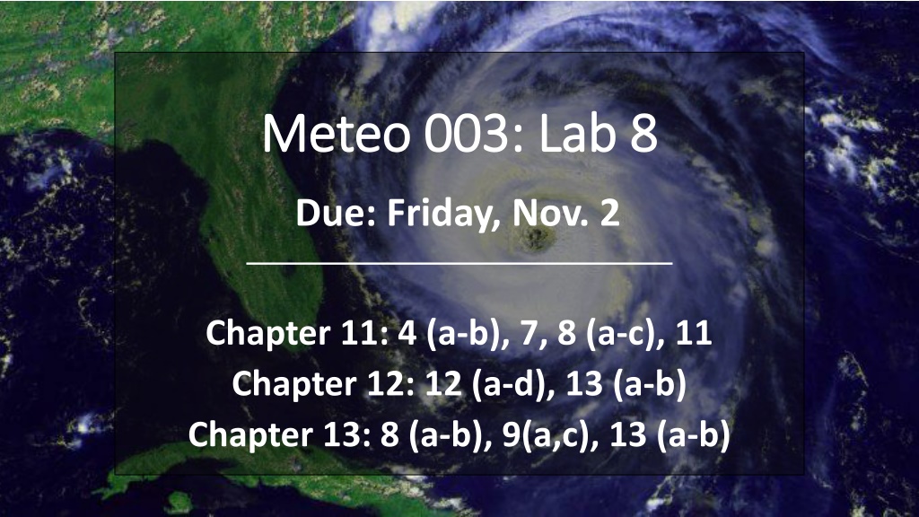
Meteo Meteo 003: Lab 8 003: Lab 8 Due: Friday, Nov. 2 Chapter 11: 4 (a-b), 7, 8 (a-c), 11 Chapter 12: 12 (a-d), 13 (a-b) Chapter 13: 8 (a-b), 9(a,c), 13 (a-b)
Office Hours Reminder Thursday 9:30am 10:30am in 606B Walker Building Email me (kar5469@psu.edu) questions if you are having trouble understanding a concept. Remember: late penalty of -10 points if turned in Monday. No points are given after Monday.
11.4 (a 11.4 (a- -b) Hurricane track b) Hurricane track a.) What is the height of the closed contour (yellow)? Is it a center of high or low? Name this feature. Note the contour intervals are every 30 m b.) Discuss the hurricane path Direction of storm track? Clockwise or counterclockwise circulation?
11.7 Storm surge 11.7 Storm surge Graph tide height above sea level (storm surge) vs. distance north of the eye Storm Surge (ft) Q: Why doesn t the peak storm surge line up with the central point of landfall (i.e. 0.0m) ? Where are winds the strongest in a hurricane? How do winds move around the eye wall? Clockwise or counterclockwise? How do winds impact waves coming onshore? Distance North of Eye (mi)
11.8 (a 11.8 (a- -c) Hurricane winds c) Hurricane winds Law of Conservation of Angular Momentum Wind speed * (???????? ???? ??????) = constant (km/hr) (km) 1.) Solve for the constant Wind speed = 40 km/hr Distance from center = 150 km 40 150 = constant 2.) Rearrange for wind speed a.) What is the wind speed 75 km from center? 25 km? 2 km? constant wind speed = (distance from center)
11.8 (a 11.8 (a- -c) Hurricane winds c) Hurricane winds Law of Conservation of Angular Momentum Wind speed * (???????? ???? ??????) = constant (km/hr) (km) b.) Wind speed at 12 km from center? What category hurricane? Follow steps from part (a) Use the chart to the right to determine the category 1 km/hr = 0.62 mph c.) What does this relationship improperly represent? At what distance from center does this relationship fail? Consider the wind speed near the eye center.
11.11 Energy transfer during a hurricane 11.11 Energy transfer during a hurricane Storm Track AUG 24 Five Days Later Q: What caused the change in surface water temperature (in context of the hurricane)? Did waters warm or cool after the hurricane passed? Think about energy transfer from the hurricane winds to the ocean surface. How do winds impact mixing below the ocean surface?
12.12 (a 12.12 (a- -d) Convergence vs. divergence d) Convergence vs. divergence divergence Match A,B,C,D to the description. Explain your answer! aloft convergence surface Net divergence leads to decrease in pressure -> High Net convergence leads to increase in pressure -> Low Convergence/divergence aloft will lead to a strengthening high/low at the surface
12.13 (a 12.13 (a- -b) Linking upper air and surface maps b) Linking upper air and surface maps a.) Identify centers of high and low pressure on the surface maps. ridge b.) Match surface maps to their corresponding upper air maps. Locate troughs and ridges in upper air ? Surface Highs to the East side of ridges ? ? ? L H ? ? Surface Lows to the East side of troughs
13.8 (a 13.8 (a- -b) Warm & cold advection b) Warm & cold advection a.) At each letter (A-J): is there warm, cold, or neutral advection? Isotherms show temperature Winds blowing from cold /warm air are said to have cold /warm advection Neutral advection when winds are blowing parallel to isotherms b.) Find center of low and high. Draw a front. Is it a cold or warm front? Clockwise or counterclockwise circulation? Use the wind direction to find low and high. Fronts occur at areas of convergence. Use the concept of advection to determine if it s a cold or warm front. Advection: transport of an atmospheric variable (temperature, moisture, etc.) by the wind
13.9 ( 13.9 (a,c a,c) Advection magnitude ) Advection magnitude a.) At each location, estimate the temperature in one hour. Isotherms separated by 10 n.m. Advection: transport of an atmospheric variable (temperature, moisture, etc.) by the wind EXAMPLE What is temp at A? A Magnitude determined by: Orientation of wind w.r.t isopleths Speed of wind Gradient of isopleths What is the wind speed? Is this cold or warm advection? 80 50 60 70 20 30 40 temperature Will temperature decrease or increase over the next hour? What will the temperature be in one hour? Final temp = Initial temp [(time)*(wind speed)*(gradient)] Final temp = 50o [(1hr) * (10n.m./hr) * (10o/10n.m.)] Final temp = 50o 10o = 40o
13.9 ( 13.9 (a,c a,c) Advection magnitude ) Advection magnitude a.) At each location, estimate the temperature in one hour. Note: the only change is the gradient! The stronger the gradient, the _________ the magnitude of advection. Advection: transport of an atmospheric variable (temperature, moisture, etc.) by the wind (smaller?/larger?) Magnitude determined by: Orientation of wind w.r.t isopleths Speed of wind Gradient of isopleths c.) The same as Part (a) but now the gradient is the same and the wind speed is changing. (smaller?/larger?) The stronger the wind speed, the _________ the magnitude of advection.
13.13 (a 13.13 (a- -b) Cyclogenesis b) Cyclogenesis Cyclogenesis: development of a low pressure system (cyclone) a.) At what letter (A-D) would cyclogenesis be favored? Surface Lows to the East side of troughs Does upper air convergence or divergence occur here? b.) At what letter (A-D) would form an upper level High pressure system? Surface Highs to the East side of ridges Does upper air convergence or divergence occur here?