Challenges in Training Machine Learning Parameterization for Climate Modeling
This project aims to enhance rainfall predictions in global climate models by training a machine learning-based parameterization using coarse-graining techniques. By utilizing output from a high-resolution storm-resolving model, the goal is to improve accuracy without the high computational cost associated with finer grid models. The study involves collaborating with researchers to develop skillful parameterizations for a coarser-grid climate model through machine learning. Various global models such as GFDL and FV3GFS are being considered, each with its own grid resolutions and physical parameterizations. The focus is on improving precipitation forecasting for climate simulations at different resolutions.
Download Presentation

Please find below an Image/Link to download the presentation.
The content on the website is provided AS IS for your information and personal use only. It may not be sold, licensed, or shared on other websites without obtaining consent from the author. Download presentation by click this link. If you encounter any issues during the download, it is possible that the publisher has removed the file from their server.
E N D
Presentation Transcript
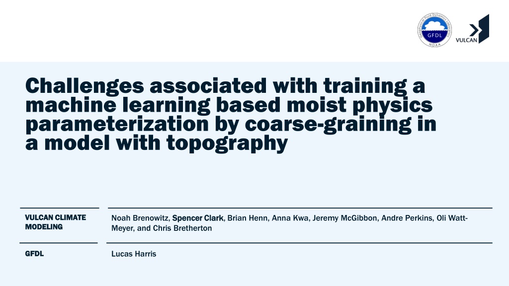
Challenges associated with training a machine learning based moist physics parameterization by coarse-graining in a model with topography VULCAN CLIMATE VULCAN CLIMATE MODELING MODELING Noah Brenowitz, Spencer Clark Meyer, and Chris Bretherton Spencer Clark, Brian Henn, Anna Kwa, Jeremy McGibbon, Andre Perkins, Oli Watt- Lucas Harris GFDL GFDL
Goal: improve the rainfall predictions of a coarse Goal: improve the rainfall predictions of a coarse- - resolution climate model using machine learning (ML) resolution climate model using machine learning (ML) A global storm resolving model (GSRM) with a finer grid of 3 km may (with work) do great things, but it is very expensive! Through "coarse-graining" we are working to train a skillful machine-learning based parameterization for a coarser-grid global climate model, using output from a GSRM.
NOAAs global model: NOAA s global model: X X- -SHiELD SHiELD (3 km reference)/FV3GFS (coarse) (3 km reference)/FV3GFS (coarse) X-SHiELD 3 km 40-day DYAMOND run, S.-J. Lin and Xi Chen, GFDL
FV3GFS and SHiELD FV3GFS and SHiELD1 1 global weather/climate models global weather/climate models FV3GFS: Open-source global atmosphere model used by NOAA for weather forecasts FV3 dycore Customized D-grid finite volume method on cubed sphere 80 vertical levels used here Specified sea-surface temperature used here Horizontal grid resolutions: Horizontal grid resolutions: 3 km (C3072) GSRM: No deep cumulus parameterization or gravity-wave drag 13 km Used for NCEP s current operational global weather forecasts 25 km Finest grid currently practical for climate simulations of many decades 200 km (C48) Typical coarse climate model grid good for prototyping or millennial runs. Physical parameterizations: Physical parameterizations: Land surface and surface fluxes (NOAH) Radiation (RRTMG) Gravity-wave drag Boundary-layer (including shallow clouds) and shallow Cu (Han-Bretherton, Han-Pan) Cloud microphysics and subgrid variability (GFDL one-moment) Deep cumulus convection (SAS) 1 GFDL s SHiELD is FV3GFS with modest changes to cloud physics and advection and is not open-source.
Coarse Coarse- -resolution dynamics and parameterized physics resolution dynamics and parameterized physics Train machine learning (ML) on fine-res reference data sets to increase accuracy of rainfall predictions by affordable (coarse) 25-200 km-grid GCMs Apparent heating (K/day) Apparent moistening (g/kg/day) Apparent acceleration (m/s/day) Traditionally parameterized physics generates the apparent sources Overbar: coarse-graining fine model variable to coarse grid
Defining the ML problem Defining the ML problem Goal: obtain a coarse model in which coarse scalars track coarsened fine-resolution scalars An overbar denotes a coarse-graining operator; a subscript "c" indicates coarse model. The coarse physics could be equal to zero or represent the tendency induced by some or all the physics parameterizations in the coarse model.
Possible methods of computing Q or Possible methods of computing Q or Q Q Compute Q directly from coarsened fine-resolution data following the outline of Yanai et al. (1973). Nudge a coarse resolution model to the coarsened state of the fine-resolution model, and consider the nudging tendencies the Qs.
Coarse Coarse- -graining methodology graining methodology Coarse model is real-topography FV3GFS, with hybrid (pressure-sigma) terrain-following model levels First attempt - model level-based coarse-graining (average over coarse grid cells for each hybrid coordinate model level) Use a mass-weighted average for tracer fields located at grid cell centers.
Coarse Coarse- -graining methodology graining methodology Coarse model is real-topography FV3GFS, with hybrid (pressure-sigma) terrain-following model levels First attempt - model level-based coarse-graining (average over coarse grid cells for each hybrid coordinate model level) Use a mass-weighted average for tracer fields located at grid cell centers.
Coarse Coarse- -graining methodology graining methodology Coarse model is real-topography FV3GFS, with hybrid (pressure-sigma) terrain-following model levels First attempt - model level-based coarse-graining (average over coarse grid cells for each hybrid coordinate model level) Use a mass-weighted average for tracer fields located at grid cell centers.
Coarse Coarse- -graining methodology graining methodology Coarse model is real-topography FV3GFS, with hybrid (pressure-sigma) terrain-following model levels First attempt - model level-based coarse-graining (average over coarse grid cells for each hybrid coordinate model level) FV3 uses a D-grid discretization for the winds. Use a vorticity-conserving edge-length-weighted average to coarsen those.
Coarse Coarse- -graining methodology graining methodology Coarse model is real-topography FV3GFS, with hybrid (pressure-sigma) terrain-following model levels First attempt - model level-based coarse-graining (average over coarse grid cells for each hybrid coordinate model level) FV3 uses a D-grid discretization for the winds. Use a vorticity-conserving edge-length-weighted average to coarsen those.
Coarse Coarse- -graining methodology graining methodology Coarse model is real-topography FV3GFS, with hybrid (pressure-sigma) terrain-following model levels First attempt - model level-based coarse-graining (average over coarse grid cells for each hybrid coordinate model level) FV3 uses a D-grid discretization for the winds. Use a vorticity-conserving edge-length-weighted average to coarsen those.
Conceptual issues of coarse-graining over topography Consider 3 km -> 200 km coarse-graining over the Himalayas We must coarse-grain to obtain vertical profiles and apparent sources of T, q, etc. 5 km relief within a coarse cell Most fields (esp. temperature) are much more constant along a pressure surface than along a terrain-following model surface
Pressure level coarse-graining 1. Coarsen the pressure thickness on model levels and compute coarse pressure on level interfaces.
Pressure level coarse-graining 1. Coarsen the pressure thickness on model levels and compute coarse pressure on level interfaces. 2. Interpolate the fine-grid field in the vertical to the coarse pressure levels.
Pressure level coarse-graining 1. Coarsen the pressure thickness on model levels and compute coarse pressure on level interfaces. 2. Interpolate the fine-grid field in the vertical to the coarse pressure levels. 3. Coarsen the field with a mass- weighted mean, masking out any points where the coarse- grid pressure is outside the range of pressures in the fine- grid column.
Benefits of using pressure level coarse Benefits of using pressure level coarse- -graining graining Himalayas Model-level coarse-graining is bottom-heavy by nature of the hybrid vertical coordinate Leads to positive biases in temperature and specific humidity in mountainous regions Therefore pressure level coarse- graining is preferred
Coarse Coarse- -graining methodology graining methodology Coarse model is real-topography FV3GFS, with hybrid terrain-following model levels First attempt - model level-based coarse-graining Instead, first regrid winds and scalars to reference pressure levels, then average across pressure levels overbar indicates averages over coarse grid cell for each pressure level
Coarse Coarse- -graining methodology graining methodology Additionally, coarse-grain topography to preserve mass and hydrostatic balance (not area-averaging topography) Corrected surface geopotential minus area averaged surface geopotential
Remaining conceptual issues Remaining conceptual issues Antarctica Pressure level coarse-graining does not do a good job retaining strongly stable boundary layers that occur over sloped terrain that intersects pressure surfaces, e.g., over Antarctica
Remaining conceptual issues Remaining conceptual issues Our current approach results in fine-resolution topography intersecting numerous coarse model levels. In the lowest model level, often ~50% of the coarse grid cell area is below the fine-grid surface.
Nevertheless we have had success with this approach Nevertheless we have had success with this approach In practice coarse-graining is run in two steps: Coarsen from C3072 (3 km) to C384 (25 km) as the 3 km model runs Coarsen from C384 to C48 (200 km) in cloud workflows for machine learning When computing Qs through nudging, this strategy is adequate for us to learn a correction to the coarse model physics that improves predictions of the spatial pattern of precipitation as well as forecast skill for geopotential height and sea-level pressure. For more details on this see Brian Henn's talk at AGU: A083-07 Reducing biases in coarse-resolution models by coarse-graining fine-resolution model output
Conclusions Conclusions We coarse-grain a C3072 (3 km) X-SHiELD simulation to C48 (200 km) FV3GFS grid using a pressure-level based approach to preserve vertical profiles of fine-grid fields in the coarse model We also adjust the surface height such that the coarse state is in hydrostatic balance to reduce initialization transients while conserving mass Over sloping terrain, pressure-level coarse graining avoids temperature and moisture biases in the free atmosphere, but produces biases in the boundary layer For more details on ML results using these methods, see Brian Henn's talk at AGU: A083-07 Reducing biases in coarse-resolution models by coarse-graining fine-resolution model output
