Remote Sensing for Blue Whale Conservation: Enhancing Maritime Policy
Using remote sensing technology to monitor blue whale habitats can help address the conservation challenges posed by ship strikes. By predicting species distributions with greater precision, regulatory agencies can implement effective measures to reduce the risks faced by blue whales. Remote sensing informs dynamic models to predict blue whale distributions, aiding decision-makers in implementing necessary actions to safeguard these endangered creatures.

Download Presentation

Please find below an Image/Link to download the presentation.
The content on the website is provided AS IS for your information and personal use only. It may not be sold, licensed, or shared on other websites without obtaining consent from the author. Download presentation by click this link. If you encounter any issues during the download, it is possible that the publisher has removed the file from their server.
E N D
Presentation Transcript
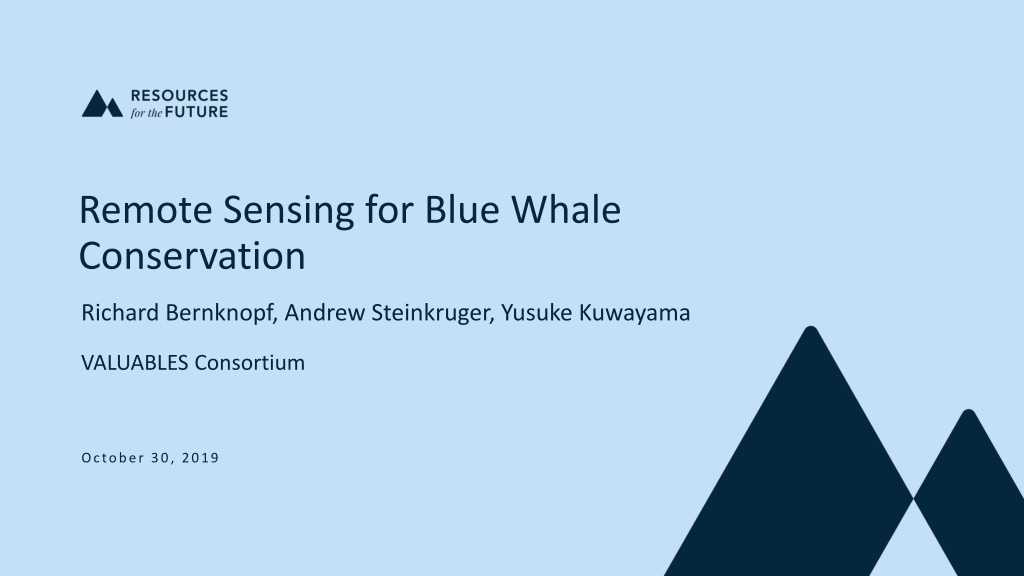
Remote Sensing for Blue Whale Conservation Richard Bernknopf, Andrew Steinkruger, Yusuke Kuwayama VALUABLES Consortium October 30, 2019
What is the value of remote sensing in conservation of blue whales? [neat image] John Calambokidis, Cascadia Research We find less costly implementation of marine policy with remote sensing. 2
Ships and Blue Whales Ships transit through whale habitat, creating a conservation challenge. Eastern North Pacific blue whales (Balaenoptera musculus) are endangered. Off California, ships striking blue whales concern federal agencies. NMFS 2018, CINMS 2018 Ships can reduce risk through voluntary speed reductions and re- routing. Agencies maintain seasonal advisories for high-risk zones. Compliance is voluntary, with a small incentivization program for some zones. CINMS 2018, SBC APCD 2019 Remote Sensing for Blue Whale Conservation | October 30, 2019 | VALUABLES Consortium Workshop 3
Regulatory Outlook Federal statutes and regulations require agencies to monitor mortality. Endangered Species Act Marine Mammal Protection Act Two agencies could act on ship strikes. National Oceanic and Atmospheric Administration United States Coast Guard Threshold of 2.3 annualized fatal strikes triggers regulatory action. Caretta et al. (2013, 2017), Rockwood et al. (2017) find exceedance. Remote Sensing for Blue Whale Conservation | October 30, 2019 | VALUABLES Consortium Workshop 4
What costs might new regulations incur? If annual fatal strikes exceed 2.3: Regulators could expand voluntary measures. Regulators could introduce mandatory measures. Slowing ships through whale habitat is costly. Regulations for North Atlantic right whales cost $44,700,000 in 2009. Nathan Associates 2012 Models predicting whale distribution from remote sensing offer a solution. Becker et al. 2016, Hazen et al. 2017, Abrahms et al. 2019 Remote Sensing for Blue Whale Conservation | October 30, 2019 | VALUABLES Consortium Workshop 5
Solutions from Remote Sensing Models predict species distributions by synthesizing two data sources: Past studies (1991 2009) collected species distribution data by tagging. Present remote sensing tracks ocean conditions. Greater precision in estimated distributions enables focused policy. Remote Sensing for Blue Whale Conservation | October 30, 2019 | VALUABLES Consortium Workshop 6
How does information yield benefits? INFORMATION Remote sensing informs dynamic models to predict distributions of blue whales. Surveys inform static models to predict distributions of blue whales. DECISIONMAKER ACTIONS Managers implement coarse limits on vessel speed and routes. Managers implement fine limits on vessel speed and routes. OUTCOMES FOR PEOPLE AND THE ENVIRONMENT Mortality falls below regulatory limit at low cost to industry. Mortality falls below regulatory limit at high cost to industry. 7 Remote Sensing for Blue Whale Conservation | October 30, 2019 | VALUABLES Consortium Workshop
Remote sensing reveals spatiotemporal variation. In-Situ Surveys Remote Sensing Difference Normalized backcasts of fatal strikes for July 2016. Lighter cells indicate more strikes or difference. Remote Sensing for Blue Whale Conservation | October 30, 2019 | VALUABLES Consortium Workshop 8
Remote sensing increases precision. Cumulative distributions by information and policy for July 2016. Remote Sensing for Blue Whale Conservation | October 30, 2019 | VALUABLES Consortium Workshop 9
Remote sensing increases precision. Cumulative distributions by information and policy for July 2016. Remote Sensing for Blue Whale Conservation | October 30, 2019 | VALUABLES Consortium Workshop 10
Remote sensing increases precision. Cumulative distributions by information and policy for July 2016. Remote Sensing for Blue Whale Conservation | October 30, 2019 | VALUABLES Consortium Workshop 11
Remote sensing increases precision. Cumulative distributions by information and policy for July 2016. Remote Sensing for Blue Whale Conservation | October 30, 2019 | VALUABLES Consortium Workshop 12
Higher limits to transit speeds save $239,651,000 in backcast costs to industry through July 2016. Remote Sensing for Blue Whale Conservation | October 30, 2019 | VALUABLES Consortium Workshop 13
14 Title National Marine Fisheries Service
What have we found so far? Conserving blue whales is less costly with remote sensing products. Developments in species distribution models support policy decisions. Choosing the right data product could change economic outcomes. Remote Sensing for Blue Whale Conservation | October 30, 2019 | VALUABLES Consortium Workshop 15
Whats next? We are refining our model for economic outcomes of conservation policy. We are continuing stakeholder outreach to understand policy constraints. We are assessing the impact of remote sensing in marine conservation. Remote Sensing for Blue Whale Conservation | October 30, 2019 | VALUABLES Consortium Workshop 16
Thank you. We re grateful to subject experts for sharing their knowledge. Elliott Hazen NOAA SWFSC Sean Hastings NOAA CINMS
References 1. National Marine Fisheries Service. 2018. Draft Recovery Plan for the Blue Whale (Balaenoptera musculus) - Revision. National Marine Fisheries Service, Office of Protected Resources, Silver Spring, MD. 2. Morten, J., Channel Islands National Marine Sanctuary. 2018. Protecting Blue Whales and Blue Skies in California s National Marine Sanctuaries. Presentation. 3. Santa Barbara County Air Pollution Control District. 2019. Slowing ships down for cleaner air and whale protection. Press release. 4. Carretta, J. V., Wilkin, S. M., Muto, M., & Wilkinson, K. M. (2013). Sources of human-related injury and mortality for US Pacific west coast marine mammal stock assessments, 2007-2011. 5. Rockwood, R. C., Calambokidis, J., & Jahncke, J. (2017). High mortality of blue, humpback and fin whales from modeling of vessel collisions on the US West Coast suggests population impacts and insufficient protection. PloS One, 12(8), e0183052. 6. Nathan Associates Inc. 2012. Economic Analysis of North Atlantic Right Whale Ship Strike Reduction Rule. 7. Becker, E., Forney, K., Fiedler, P., Barlow, J., Chivers, S., Edwards, C., ... & Redfern, J. (2016). Moving towards dynamic ocean management: how well do modeled ocean products predict species distributions? Remote Sensing, 8(2), 149. 8. Hazen, E. L., Palacios, D. M., Forney, K. A., Howell, E. A., Becker, E., Hoover, A. L., ... & Bailey, H. (2017). WhaleWatch: a dynamic management tool for predicting blue whale density in the California Current. Journal of Applied Ecology, 54(5), 1415-1428. 9. Abrahms, B., Welch, H., Brodie, S., Jacox, M. G., Becker, E. A., Bograd, S. J., ... & Hazen, E. L. (2019). Dynamic ensemble models to predict distributions and anthropogenic risk exposure for highly mobile species. Diversity and Distributions. Remote Sensing for Blue Whale Conservation | October 30, 2019 | VALUABLES Consortium Workshop