Distinctive Signatures of Climate on Land Form
Climate can leave unique imprints on land forms, both at fine and large scales. Examples include relict topography shaped by past climates and the influence of climate zonation on the Andes' shape. Erosional processes and glacial activities also play significant roles in shaping Earth's surface features. Understanding these signatures helps in interpreting past climate history and the dynamic nature of our planet's landscapes.

Download Presentation

Please find below an Image/Link to download the presentation.
The content on the website is provided AS IS for your information and personal use only. It may not be sold, licensed, or shared on other websites without obtaining consent from the author. Download presentation by click this link. If you encounter any issues during the download, it is possible that the publisher has removed the file from their server.
E N D
Presentation Transcript
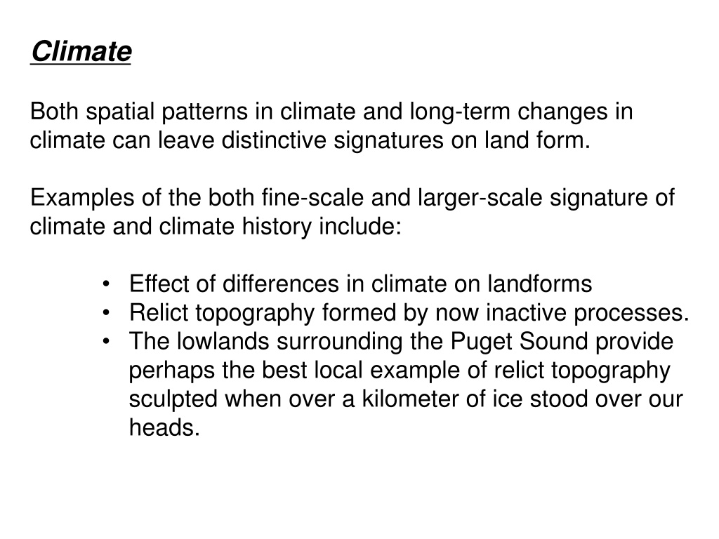
Climate Both spatial patterns in climate and long-term changes in climate can leave distinctive signatures on land form. Examples of the both fine-scale and larger-scale signature of climate and climate history include: Effect of differences in climate on landforms Relict topography formed by now inactive processes. The lowlands surrounding the Puget Sound provide perhaps the best local example of relict topography sculpted when over a kilometer of ice stood over our heads.
Climate zonation of South America influences the shape of the Andes
Hypsometry of the Andes fluvial arid (tectonics) glacial
Climate forcing fluvial Tectonic forcing arid Climate forcing glacial
Erosion Erosional processes that remove and redistribute rocks and soil tend to control the fine-scale features of Earth's surface. Different types of processes give rise to hillslopes and valleys with distinctive morphologies (forms). Primary erosional processes shaping Earth's surface: Mass Movements (Hillslope Processes) deep-seated bedrock failures shallow landsliding involving mostly surficial materials soil creep and biogenic transport Streams and Rivers (Fluvial Processes) small ephemeral channels steep mountain channels large floodplain rivers
Glacial and Periglacial Processes ice sheets; low-gradient, pot-holed topography valley glaciers; U-shaped valleys solifluction Wind (Aeolian processes) sand dunes Volcanic Processes eruption-related erosion and deposition
Mountain systems Hillslopes closely coupled with rivers Rivers have high transport capacity and little sediment storage Rivers actively cut into bedrock, creating local relief
Lowland rivers build depositional floodplains and carry material to the coast
Drainage basins Material moves downhill under the influence of gravity
The Rock Cycle Material eroded from mountains enters streams and rivers and is delivered to coastal environments, from where it is moved to deeper sedimentary basins that get shoved back into mountains through processes of rock uplift.
Time and Space in Geomorphology In the study of landforms we consider an extremely wide range of processes over many different spatial and temporal scales: from the physics of instantaneously mobilizing gravel river beds to the motion of tectonic plates over millions of years. Weather Geology Geomorphology
Ecological Importance of Geomorphological Processes The interaction of Earth Surface processes create the physical environment for ecological systems, which provides habitat to organisms including humans.
Societal Importance of Geomorphological Processes We live on Earth's surface and the production, erosion, and deposition of rock and soil are of fundamental importance to civilizations. Understanding these processes can help us avoid problems. History provides some excellent examples of unanticipated feedbacks on geomorphological processes.
Historical Perspective Civilizations arose in the floodplains of the Tigris and Euphrates Rivers and the valley of the Nile due to the fertile soils replenished by annual flooding. Plato first recognized the effects of human actions on soil erosion and the consequent negative impacts on economic livelihood in classical Greece. Centuries of intensive soil erosion have impoverished much of the Mediterranean region, where ancient ports are now kilometers inland.
Contemporary Perspective The "quiet crisis" of soil erosion is still a huge problem in the modern world, as millions of tonnes of topsoil are still lost every year in the U.S. alone. An excellent regional example is the accelerated erosion from land sliding resulting from historic forest clearing and road building in the Pacific Northwest.
Role of history Earth is a planet that, like all the others, has a unique history that gives rise to a wide variety of land forms. Earth is, in effect, a single, long- running geomorphological experiment.
A 10-Minute History of Geomorphology Leonardo da Vinci (1452- 1519) - Leonardo's works on topographic evolution and his invention of the contour map are recognized because he did not publish (he never would have received tenure). not widely Water is the driver of Nature. - Leonardo da Vinci
Steno (1669) recognized the need to explain the history (and hence evolution) of land forms.
Valley Formation Factors controlling the carving of valleys were a key issue in the development of geology as a science. In the 17th Century it was widely assumed in Europe that the Flood was responsible for topography. Charles Lyell (1833) documented repeated phases of valley cutting, gravel deposition, and burial by lava flows, which demonstrated the need to invoke multiple deluges to account for valley formation.
In the 1830's Louis Agassiz began reporting field evidence that suggested a role of glacial processes in carving landscapes. This glacial theory was hotly debated until it was widely accepted by the 1860's. Rocks polished and striated by a glacier, from Louis Agassiz, Etudes sur les glaciers, 1840.
Surveys of the West The topographic surveys commissioned to inventory the resource potential of the expanding American frontier proved a boon for understanding geological controls on landforms due to the excellent exposures in the arid west. The US Government surveys of 1870's and 1880's produced the geomorphological studies of Powell, Gilbert, and Russell, which gave birth of process geomorphology.
William Morris Davis At the close of the 19th Century, Davis proposed a broad model of topographic development in which he classified landscapes as youthful, mature, or old based on their general appearance. Davis' thinking focused on qualitative interpretation of landscape history from broad aspects of land form and was very influential in the early 20th Century.
Luna Leopold and the U.S.G.S. In the 1950's a group of U.S. Geological Survey researchers led by Luna Leopold ushered in modern process geomorphology with an aggressive campaign to measure rates of geomorphological processes and explain the physics underlying these processes. Leopold's approach involved coupling field observations and measurements with theoretical models to explain geomorphological processes.
Digital Elevation Models The advent of widely available digital models of topography and high-speed computers allows us to image, analyze, and model large landscapes. Our view of landscapes in the past 20 years has shifted from one of limited analysis of topographic contours, usually focusing on the profiles of individual hillslopes and rivers to fully three-dimensional investigations of entire landscapes.
Evolution of Geomorphic Thought Observation Herodotus (450 BC) to Leonardo to present Description Steno, Playfair (Hutton) 1600 s-1700s Explanation Agassiz (1807-1873) glacial Powell (1834-1902) fluvial/structure Gilbert (1843-1918) everything! Correlation Davis (1850-1934) fluvial+ A. & W. Penck (1900-1950) structure Quantification (post-WWII) Leopold (fluvial), Nye/Glen (glacial), Bagnold (wind), Prediction now a common goal
And, finally, the best reason of all to study geomorphology is that landscapes are simply fascinating and incredibly beautiful Understanding how they work only deepens one s appreciation of them.
Key questions about geomorphological systems What controls the dominant geomorpholgical processes in a landscape (e.g., fluvial, glacial, coastal)? How do all the pieces fit together in shaping landscapes? How do the spatial arrangement of landscape elements influence landscape dynamics?


 recognized the")