The Influence of Adrien de Montigny on Renaissance Art and Cartography
Explore how Adrien de Montignyu2019s works influenced Renaissance art and cartography, blending creativity with precision.
Download Presentation

Please find below an Image/Link to download the presentation.
The content on the website is provided AS IS for your information and personal use only. It may not be sold, licensed, or shared on other websites without obtaining consent from the author. If you encounter any issues during the download, it is possible that the publisher has removed the file from their server.
You are allowed to download the files provided on this website for personal or commercial use, subject to the condition that they are used lawfully. All files are the property of their respective owners.
The content on the website is provided AS IS for your information and personal use only. It may not be sold, licensed, or shared on other websites without obtaining consent from the author.
E N D
Presentation Transcript
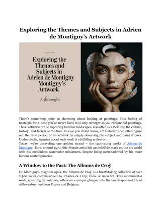
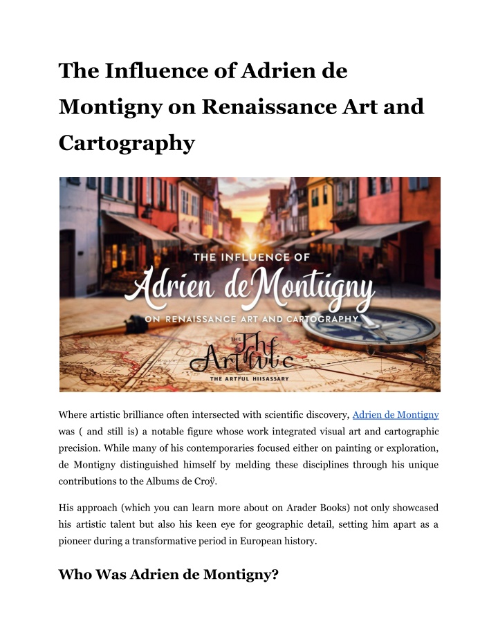
The Influence of Adrien de Montigny on Renaissance Art and Cartography Where artistic brilliance often intersected with scientific discovery, Adrien de Montigny was ( and still is) a notable figure whose work integrated visual art and cartographic precision. While many of his contemporaries focused either on painting or exploration, de Montigny distinguished himself by melding these disciplines through his unique contributions to the Albums de Cro . His approach (which you can learn more about on Arader Books) not only showcased his artistic talent but also his keen eye for geographic detail, setting him apart as a pioneer during a transformative period in European history. Who Was Adrien de Montigny?
Born around 1570, de Montigny's talent caught the eye of Charles de Cro, the 4th Duke of Aarschot. This connection would prove to be the key that unlocked de Montigny's potential, leading to his appointment as the Duke's court painter. But it wasn't just any old painting gig de Montigny was about to take on a project of epic proportions. The Albums de Cro : A Renaissance Marvel Imagine being tasked with creating a visual record of an entire duchy every town, village, castle, and convent. That's exactly what Charles de Cro commissioned de Montigny to do. The result? The Albums de Cro , a monumental work that would keep de Montigny busy for a whopping 15 years, from 1596 to 1611. Let's break down this massive undertaking: 23 volumes Approximately 2,500 views Territories spanning parts of modern-day France, Belgium, and the Netherlands De Montigny's process was as fascinating as the final product. He'd travel during the warmer months, sketching locations in person. Then, when winter rolled around, he'd hole up in his studio, transforming those sketches into exquisite paintings on vellum (a type of fine parchment made from animal skin). Read More Article: Safety Tips for Box Truck Drivers on the Road Artistry Meets Cartography What made de Montigny's work truly special was his ability to blend artistic vision with cartographic precision. Here's how he did it: Aspect Description De Montigny used techniques like atmospheric perspective to make distant hills fade into blue, adding depth and realism to his landscapes. Mastery of Watercolor
He modulated skies and fields to capture the essence of different seasons and times of day, reflecting the varying appearance of the sky throughout the year. Changing Seasons His scenes included people engaged in daily activities such as fishing, farming, and making music, adding a dynamic and lively element to the landscapes. Slice Life of Rendered with precision, elements like church spires, rooflines, and fortifications provide historians with insights into historical building appearances. Architectur al Detail De Montigny combined a steep perspective for buildings with overhead views of roads and land parcels, akin to a Renaissance version of modern mapping techniques. Bird's View Eye More Than Just Pretty Pictures The Albums de Cro weren't just for show. They served real, practical purposes: Property Management: Each view included compass directions and numbered locations that corresponded to the Duke's property records. It was like a 16th-century real estate database. Topographical Information: Roads, rivers, and land use were all carefully documented, providing valuable data for administration and planning. Early Cadastral Mapping: By linking visual depictions with property data, de Montigny was pioneering techniques that would later evolve into modern land surveying and mapping. A Bridge Between Eras De Montigny's work is fascinating because it sits at a crossroads in European history and art: It blends medieval manuscript traditions with Renaissance naturalism. You can see echoes of earlier Flemish masters like Pieter Bruegel in how de Montigny depicted everyday life.
The sheer ambition of the project rivaled other grand undertakings of the time, like Braun and Hogenberg's "Civitates Orbis Terrarum" (a massive atlas of world cities). The Legacy of Adrien de Montigny For centuries, the Albums de Cro remained in the hands of noble families, passed down through generations of the Cro and Arenberg lines. It wasn't until 2001 that this treasure trove was finally opened to the wider world through an auction. Today, de Montigny's paintings are scattered across museums and private collections. But their value goes far beyond mere aesthetics. These works offer us a window into a world long gone: They show us what the Low Countries looked like around 1600. They reveal details about architecture, fashion, and daily life that written records might miss. They demonstrate how art and science were beginning to intertwine in new and exciting ways. Read More Article: How to Use Conditioner for Thinning Hair: Expert Tips Rediscovering a Renaissance Innovator Adrien de Montigny might not be a household name like Leonardo da Vinci or Michelangelo, but his contribution to Renaissance art and early modern cartography is undeniable. Through the Albums de Cro , he left us a legacy that continues to inform and inspire. The next time you zoom in on a digital map or admire a landscape painting, spare a thought for de Montigny. As we continue to uncover and appreciate hidden gems from history like Adrien de Montigny through sources like Arader Books, we enrich our understanding of the past and gain new perspectives on our present. Who knows what other overlooked
innovators are waiting to be rediscovered, their work holding valuable lessons for our modern world? Site Article: The Influence of Adrien de Montigny on Renaissance Art and Cartography

![❤Book⚡[PDF]✔ Star Maps: History, Artistry, and Cartography (Springer Praxis Book](/thumb/21625/book-pdf-star-maps-history-artistry-and-cartography-springer-praxis-book.jpg)

