Reasonable Security in Network Protection
In the realm of network security, determining what constitutes reasonable security is crucial. This involves assessing threats, implementing best practices, and adhering to policies to minimize expected losses while balancing costs effectively. Learn more about the concept of reasonable security and how it impacts decision-making in safeguarding networks.
Download Presentation

Please find below an Image/Link to download the presentation.
The content on the website is provided AS IS for your information and personal use only. It may not be sold, licensed, or shared on other websites without obtaining consent from the author.If you encounter any issues during the download, it is possible that the publisher has removed the file from their server.
You are allowed to download the files provided on this website for personal or commercial use, subject to the condition that they are used lawfully. All files are the property of their respective owners.
The content on the website is provided AS IS for your information and personal use only. It may not be sold, licensed, or shared on other websites without obtaining consent from the author.
E N D
Presentation Transcript
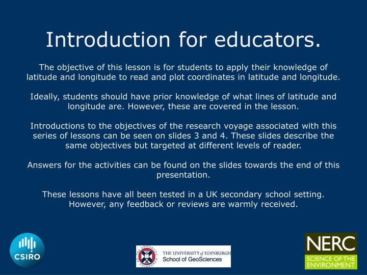
Introduction for educators. The objective of this lesson is for students to apply their knowledge of latitude and longitude to read and plot coordinates in latitude and longitude. Ideally, students should have prior knowledge of what lines of latitude and longitude are. However, these are covered in the lesson. Introductions to the objectives of the research voyage associated with this series of lessons can be seen on slides 3 and 4. These slides describe the same objectives but targeted at different levels of reader. Answers for the activities can be found on the slides towards the end of this presentation. These lessons have all been tested in a UK secondary school setting. However, any feedback or reviews are warmly received.
Australias R/V Investigator, the ship being used for the research. Image credit: CSIRO Title: Latitude and Longitude This lesson is one of a series focused on Mysteries of the Deep Earth: Expedition to Australia's Underwater Volcanoes
What are we investigating? The science objectives of this voyage are: Hotspot dynamics in the Coral Sea: connections between the Australian Plate and the deep Earth. Scientists will be collecting rocks from volcanoes along a submerged seamount chain and using sound, magnetics and gravity to make 3D maps of the volcano shapes. These chains are similar to the Hawaiian and Canary Islands in that they are volcanoes which formed away from the edges of tectonic plates (such as in the Pacific Ring of Fire , and scientists want to understand how, why and when they formed. Understanding the spatial links between geomorphology and biodiversity in the Coral Sea Australian Marine Park. Maps of the underwater volcanoes will be analysed to understand how different shapes, structures and landscapes provide habitats for marine species such as corals and invertebrates. Spatial and temporal variability in the distribution and abundance of seabirds. Scientists on the observation deck high on the ship will be observing seabirds and marine mammals (such as whales, dolphins and sharks) to understand where they live and their behaviours.
What are we investigating? The science objectives of this voyage are: Mapping the underwater landscapes. Scientists will use special mapping techniques to make 3D maps of underwater volcanoes that have been discovered in the Coral and Tasman Seas. Using rocks that they collect from these sites, scientists want to understand how, why and when these underwater volcanoes formed. Why do marine species like living on underwater volcanoes? Maps of the underwater volcanoes will be analysed to understand how different shapes, structures and underwater landscapes provide habitats for marine species such as corals and invertebrates. Are there more seabirds and marine mammals near these underwater volcanoes than in the surrounding waters? Scientists on the observation deck high on the ship will be observing seabirds and marine mammals (such as whales and dolphins) to understand where they live and their behaviours.
Where are we going? UK Coral Sea, Australia
For this lesson you will need: Ruler Pencil
How do you know where you are at sea if there is nothing around you? Australia s R/V Investigator, the ship being used for the research. Image credit: CSIRO Latitude and Longitude!!
For your GCSEs you must: use and understand latitude and longitude Brisbane Location 27o S Latitude (N/S) 153o E Longitude (E/W) Brisbane
Warm up task Task: Can you label any of the lines of latitude on the diagram?
Warm up task Task: Can you label any of the lines of latitude on the diagram?
Latitude Lines Go across the map Measured in degrees ( ) North and south of the Equator They are parallel Decrease in length towards the Poles
Longitude Lines Go up and down the map Measured in degrees ( ) East and west of the Greenwich Meridian (London) They converge at the Poles They are all the same length
Finding the Latitude and Longitude The Rules 1)Latitude is always NORTH or SOUTH from the Equator. 2)Longitude is always EAST or WEST from the GM. 80O N Greenwich meridian 60O N 40O N 20O N Equator 0O 20O S 40O S 60O S 80O S 160O 140O 120O 100O 80O 60O 40O 20O 0O 20O 40O 60O 80O 100O 120O 140O 160O West longitude East longitude
Finding the Latitude and Longitude Your turn 80O N Greenwich meridian (GM) 60O N 1 1 4 4 40O N 20O N Equator 0O 3 3 20O S 2 2 5 5 40O S 60O S 80O S 160O 140O 120O 100O 80O 60O 40O 20O 0O 20O 40O 60O 80O 100O 120O 140O 160O West longitude East longitude Don t forget the rules 1) Latitude is always NORTH or SOUTH from the Equator. 2) Longitude is always EAST or WEST from the GM.
Task 1 Identifying the latitude and longitude of key sites Whilst on the research vessel in the Coral Sea, scientists use latitude and longitude to help navigate to key sites that they think will be of particular interest. Longitude E.g., Cairns: 17oS,146oE Can you identify the latitude and longitude of the 5 key sites marked on the map? Latitude 1. Site 1: 20oS,155oE 2. Site 2: 15oS,157oE 3. Site 3: 13oS,154oE 4. Site 4: 12oS,157oE 5. Site 5: 24oS,159oE
Task 2 Reasoning with latitude and longitude Answer each of the following questions to the nearest degree. 1. Describe the location of Brisbane using geographical terminology, and latitude and longitude. 2. What is the difference in latitude between Cairns and Brisbane? 3. What is the approximate latitude and longitude of the most northerly proposed dredge site? 4. What is the approximate latitude and longitude of the most easterly proposed dredge site? 5. What is the difference in longitude between the most northerly and most easterly of the proposed dredge sites? Longitude Latitude 1. Brisbane is located on the east coast of Australia and is southeast of Cairns. Its latitude and longitude is approximately 27oS,153oE. 2. Brisbane Latitude = 27oS or 28oS Cairns Latitude = 17oS Difference = 10/11oS 3. Approximately 10oS,158oE 4. Approximately 15oS,160/161oE 5. 160/161oE - 158oE = 2/3oE
Task 3 Plotting latitude and longitude Using multibeam underwater mapping equipment, scientists recently discovered a new chain of deep-sea volcanoes, some of which rise over 3000m up from the ocean floor! Longitude We know the latitude and longitude of their positions. Can you help us plot them on the map? 1. v1: 28oS,155oE 2. v2: 26oS,156oE 3. v3: 24oS,155oE 4. v4: 21oS,157oE 5. v5: 18oS,158oE 6. v6: 15oS,157oE Latitude
Task 3 Plotting latitude and longitude Longitude Using multibeam underwater mapping equipment, scientists recently discovered a new chain of deep-sea volcanoes, some of which rise over 3000m up from the ocean floor! We know the latitude and longitude of their positions. Can you help us plot them on the map? 1. v1: 28oS,155oE 2. v2: 26oS,156oE 3. v3: 24oS,155oE 4. v4: 21oS,157oE 5. v5: 18oS,158oE 6. v6: 15oS,157oE Latitude
Review Quiz True or False True False 1 Lines of latitude give how far north or south a place is. Lines of latitude give how far east or west a place is. Lines of longitude give how far east or west a place is. Brisbane is south of the equator. X 2 X 3 X 4 X 5 Cairns is west of the Greenwich meridian. Underwater volcanoes are never more than 2000m higher than the seabed. X 6 X
