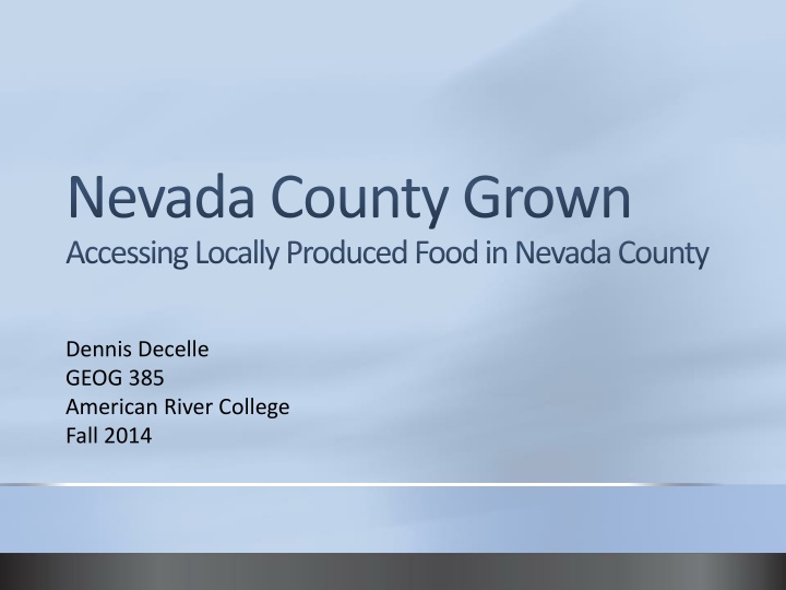
Nevada County Grown
"Explore a web map to discover nearby farms, markets, restaurants, and stores offering locally produced food in Nevada County. Foster community connection through a variety of local food sources."

Uploaded on Feb 19, 2025 | 0 Views
Download Presentation

Please find below an Image/Link to download the presentation.
The content on the website is provided AS IS for your information and personal use only. It may not be sold, licensed, or shared on other websites without obtaining consent from the author.If you encounter any issues during the download, it is possible that the publisher has removed the file from their server.
You are allowed to download the files provided on this website for personal or commercial use, subject to the condition that they are used lawfully. All files are the property of their respective owners.
The content on the website is provided AS IS for your information and personal use only. It may not be sold, licensed, or shared on other websites without obtaining consent from the author.
E N D
Presentation Transcript
Nevada County Grown Accessing Locally Produced Food in Nevada County Dennis Decelle GEOG 385 American River College Fall 2014
Purpose of Project Create an interactive web map for user to find the nearest local food sources from a location Local food sources include farms/ranches, farmer s markets, restaurants and grocery stores Inform the user about the many local food sources available in Nevada County Foster a deeper connection to the community through food
Create Map Service Map displays point features for farms/ranches, farmer s markets, restaurants and grocery stores where locally produced food is offered Data layers styled and labeled Zoom levels set for layers and labels More detail and labels as user zooms in
Create Map Service 1:250,000
Create Map Service 1:80,000
Create Map Service 1:3,000
Geoprocessing Service Geoprocessing Model
Geoprocessing Service Geoprocessing Model Output
Geoprocessing Service User drops a location point on map User inputs a search distance Search distance buffer is created around point All farms/ranches, farmer s markets, grocery stores and restaurants within buffer are selected and copied to a new feature Selected points are graphically symbolized
Web Application Map Service opened in Browser
Web Application Geoprocessing Widget with user inputs and selected features
Web Application Configured Pop-up Window
Web Application Attribute Table with Selected Restaurants
Difficulties Hiding fields prior to publishing Map Service resulted in empty tables in Map Service Opening Map Service in Google Chrome only displays ESRI base map Buffer outline virtually invisible in web app Selected features within buffer are selected in tables in ArcMap but not in web map Zoom levels in web map limited so you can t zoom in far enough to see labels of points
Improvements Add a Select by Attribute geoprocess to query farms and ranches for organic certification, CSA subscription service or direct to consumer sales Add hyperlinks in pop-ups for one click navigation to websites Enable geoprocessing widget to output tables of selected features Create a search by drive time or miles on a road network instead of distance as the crow flies since much of Nevada County is mountainous