Geospatial Information Modernization in Africa: Empowering Growth
Discover the strategy for implementing UN GGIM Africa's program of work, focusing on modernizing geospatial information in Africa. Learn about the challenges and opportunities faced by African countries in utilizing geospatial technologies for economic growth and development.

Download Presentation

Please find below an Image/Link to download the presentation.
The content on the website is provided AS IS for your information and personal use only. It may not be sold, licensed, or shared on other websites without obtaining consent from the author. Download presentation by click this link. If you encounter any issues during the download, it is possible that the publisher has removed the file from their server.
E N D
Presentation Transcript
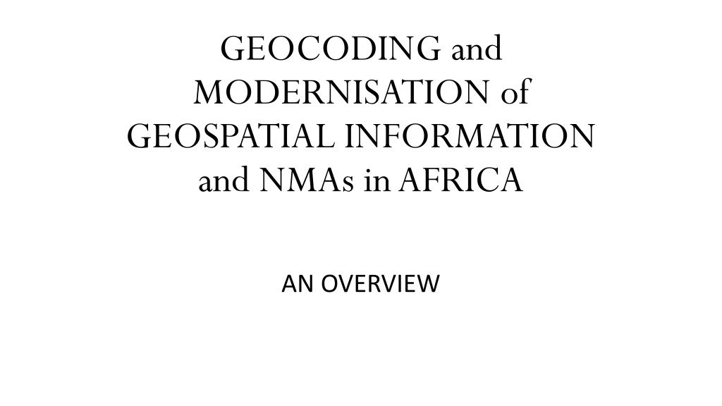
GEOCODING and MODERNISATION of GEOSPATIAL INFORMATION and NMAs in AFRICA AN OVERVIEW
INTRODUCTION INTRODUCTION The Strategy for the implementation of UN GGIM Africa s Programme of Work includes: national and region-wide spatial data and technology to be made available to as many potential users as possible to be developed, managed, procured, and coordinated according to best practices the modernization of Geospatial Information in Africa to expand and improve the use and awareness of geospatial technologies through increased collaborative educational opportunities and outreach through the identification and securing of sustainable funding to support ongoing NMA s geospatial programs.
INTRODUCTION INTRODUCTION - - 2 2 In this regard, the UNECA initiated a research study on the production of a comprehensive Strategy for the Modernization of Geospatial Information in Africa with particular emphasis on the integration of geospatial and statistical information.
CONTEXT CONTEXT In November 2012, the World Bank published this map showing that Africa is moving fast, with most of Sub-Saharan countries accessing the status of "Middle Income Countries (MIC)", i.e. with a GDP per capita crossing the US$ 1 000 threshold. This includes six "next MICs" by 2025 out of the thirteen Low Income Countries (LICs) at the time
CONTEXT CONTEXT - - 2 2 Meanwhile COVID 19 pandemic Degradation of this encouraging state of 2012 Present war in Europe In addition, Africa affected by the lack of economic diversification issue: the continent is home to eight of the world s fifteen least economically diversified countries (Usman, Z. et als - 2021). Geospatial Information = catalyst of economic growth (including economic diversification) Therefore, African GI experts and policy makers s duty: to boost the GI domain in order to catch up, to recover what the countries lost recently in terms of economic performance
CONTEXT CONTEXT - - 3 3 Unfortunately, the state of GI contribution to the continent s economies is very low. This is in part, and predominently, due to the fact that "all the components of NSDI are still at a very basic or rudimentary level of development in African countries (ECA 2020). HENCE THE RELEVANCE OF THE GI AND NMAs MODERNISATION INITIATIVE TAKEN BY ECA M. SULTAN
METHODOLOGY METHODOLOGY CLARIFICATION AND DEFINITION OF TERMS GeoCoding Modernisation NMAs FOUR (4) KEY RESEARCH QUESTIONS Why Modernize GI and NMAs in Africa? What Needs to be Modernised ? How to Plan for Modernisation ? What Strategy for GI and NMAs Modernisation in Africa
METHODOLOGY METHODOLOGY - - 2 2 DOCUMENTARY REVIEW ADDITIONAL INFORMATION GATHERING On-line Survey Interviews INFORMATION ANALYSIS AND RESULTS COMPILATION REPORT WRITING, REVIEW AND VALIDATION
PRELIMINARY FINDINGS AND EARLY RESULTS PRELIMINARY FINDINGS AND EARLY RESULTS This is a Research Study in Progress The following are early findings that need to be further and critically analysed ON THE CLARIFICATION AND DEFINITION OF TERMS GeoCoding : As defined and described in the ECA paper "Status of integration of Geospatial and Statistical Information in Africa" (June 2022). Remember: It is a process. Modernization: not a technology-driven initiative, but a broader change-driven endeavour encompassing all the nine Strategic Pathways of the IGIF and all the six components of the NSDI
PRELIMINARY FINDINGS PRELIMINARY FINDINGS - - 2 2 ON THE CLARIFICATION AND DEFINITION OF TERMS Geocoding : As defined and described in the ECA paper "Status of integration of Geospatial and Statistical Information in Africa" (June 2022). Remember: It is a process ensuring the smooth integration of Geospatial and Statistical Information in Africa. Modernization: Not a technology-driven initiative, but a broader encompassing all the nine Strategic Pathways of the IGIF and all the six components of the NSDI. NMAs - NMOs: A generic term to designate the main actors of Geospatial Information in a country, in an inclusive vision, in a structured format, with leadership.
PRELIMINARY FINDINGS PRELIMINARY FINDINGS - - 3 3 ON WHAT NEEDS TO BE MODERNIZED Reference : The development of Integrated Geospatial Information is based on three pillars: (1) Governance, (2) Technology and (3) People.
PRELIMINARY FINDINGS PRELIMINARY FINDINGS - - 3 3
PRELIMINARY FINDINGS PRELIMINARY FINDINGS - - 4 4 ON WHAT NEEDS TO BE MODERNIZED Reference : The development of Integrated Geospatial Information is based on three pillars: (1) Governance, (2) Technology and (3) People. Modernisation Actions: The modernisation actions should target the detailed content of each pillar of the IGIF model. These are illustrated by cross sections of the three foundation pillars
PRELIMINARY FINDINGS PRELIMINARY FINDINGS 4.1 4.1
PRELIMINARY FINDINGS PRELIMINARY FINDINGS 4.2 4.2
PRELIMINARY FINDINGS PRELIMINARY FINDINGS 4.3 4.3
PRELIMINARY FINDINGS PRELIMINARY FINDINGS 4.4 4.4 ON WHAT NEEDS TO BE MODERNIZED Reference : The development of Integrated Geospatial Information is based on three pillars: (1) Governance, (2) Technology and (3) People. Modernisation Actions: The modernisation actions should target the detailed content of each pillar of the IGIF model. These are illustrated by cross sections of the three foundation pillars The same exercise was done with reference to the six components of NSDI for countries interested in this model
PRELIMINARY FINDINGS PRELIMINARY FINDINGS - - 5 5 HOW TO PLAN FOR GI MODERNISATION Scale Issue: The Modernisation process should envision at least three levels of intervention: (1) A regional scale to take into account modernisation needs of continental scope; (2) a sub- regional scale to support the regional integration needs for modernisation; (3) a national scale to meet the modernisation needs of Member States Prioritisation: Needs assessment should provide at each scale a list of areas where modernisation efforts should be put. From these areas, a plan of modernisation action should be developed based on priority-setting
PRELIMINARY FINDINGS PRELIMINARY FINDINGS 5.2 5.2 ON WHAT STRATEGY FOR GI MODERNISATION IN AFRICA Sustainable Funding: The Modernisation process can only be efficient if sustainable funding is made available to support African efforts at the three above mentioned scales A way of ensuring that sustainable funding would be to establish a Special Fund to assist African countries and sub- regions in their respective modernization efforts
CONCLUSION CONCLUSION Remember INNOVATION DOES NOT COME FROM GOVERNMENT. IT COMES FROM THE PRIVATE SECTOR, THE INDUSTRY, THE ACADEMIA. IT COMES FROM THE DEDICATION OF OUR YOUNG PEOPLE (Greg SCOTT) I Wish to reflect, to refer, to count on the Young People in this room to support this on-going study till its full completion. I also wish to call on the experienced experts of the African continent and beyond, to respond to a questionnaire and to interviews planned in the course of this study. THANK YOU VERY MUCH Contact : Andr B. BASSOL bassoland@gmail.com WhatsApp +226 7660 9049