Evolution of Geospatial Governance in the United States
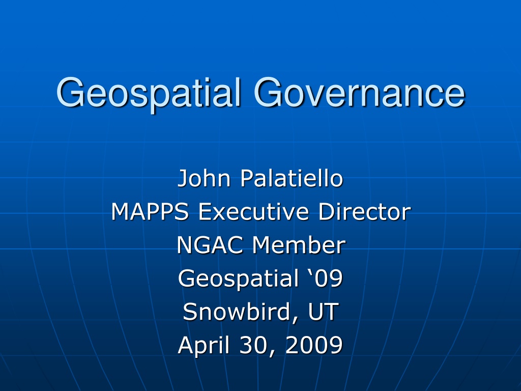
Geospatial Governance
John Palatiello
MAPPS Executive Director
NGAC Member
Geospatial ‘09
Snowbird, UT
April 30, 2009
www.mapps.org
www.mapps.org
- the only national association exclusively
- the only national association exclusively
comprised of private firms in the remote sensing, spatial data and
comprised of private firms in the remote sensing, spatial data and
geographic information systems field in the United States.
geographic information systems field in the United States.
Membership spans the entire spectrum of the geospatial
Membership spans the entire spectrum of the geospatial
community, including firms engaged in satellite and airborne
community, including firms engaged in satellite and airborne
remote sensing, surveying, photogrammetry, aerial photography,
remote sensing, surveying, photogrammetry, aerial photography,
LIDAR, hydrography, bathymetry, charting, aerial and satellite
LIDAR, hydrography, bathymetry, charting, aerial and satellite
image processing, GPS, and GIS data collection and conversion
image processing, GPS, and GIS data collection and conversion
services, and companies that provide hardware, software,
services, and companies that provide hardware, software,
products and services to the geospatial profession in the US and
products and services to the geospatial profession in the US and
other firms from around the world. MAPPS provides its 150+
other firms from around the world. MAPPS provides its 150+
member firms opportunities for networking and developing
member firms opportunities for networking and developing
business-to-business relationships, information sharing,
business-to-business relationships, information sharing,
education, public policy advocacy, market growth, and
education, public policy advocacy, market growth, and
professional development and image enhancement.
professional development and image enhancement.
History of Governance
Milo Robinson (FGDC staff) published history
Milo Robinson (FGDC staff) published history
www.fig.net/pub/fig_2002/Ts3-5/TS3_5_robinson.pdf
www.fig.net/pub/fig_2002/Ts3-5/TS3_5_robinson.pdf
Significant Reports
Science Advisory Board
The Mapping Services of the Federal Government (1934)
National Academy of Sciences
Need for a Multipurpose Cadastre (1980)
Federal Surveying and Mapping: an Organizational Review (1981)
Toward a Coordinated Spatial Data Infrastructure for the Nation (1993)
National Land Parcel Data: A Vision for the Future (2007)
Government Accountability Office
Opportunity for Savings and Better Service to Map Users Through Improved Coordination of
Federally Financed Mapping Activities (1969)
Duplicative Federal Computer-Mapping Programs: A Growing Problem (1982)
Geographic Information Systems: Information on Federal Use and Coordination (1991)
Geographic Information Systems: Challenges to Effective Data Sharing (2003)
Geospatial Information: Better Coordination Needed to Identify and Reduce Duplicative
Investments (2004)
Significant Reports
Office of Management and Budget
Report of the Federal Mapping Task Force on Mapping, Charting, Geodesy and Surveying (1973)
National Academy of Public Administration
Geographic Information for the 21st Century: Building a Strategy for the Nation (1998)
Congress of the United States
Geospatial Information: A Progress Report on Improving Our Nation’s Map-Related Data
Infrastructure (2003)
Geospatial Information: Are We Headed in the Right Direction or Are We Lost? (2004)
Congressional Governance
On January 6, 2009, a coalition of 14 national geospatial organizations asked Congress
to designate a geospatial subcommittee in the House and Senate
Congressional Governance
Responsibility for oversight and authorization of
Federal geospatial activities is spread among
more than 30 House and Senate committees and
subcommittees
•
FLAIR – House Natural Resources
•
FEMA Flood Mapping – House Financial Services
•
DHS GMO – House Homeland Security
•
SAFE TEA LU – House Transportation & Infrastructure
Subcommittees not designated, but hearings on
Geospatial Governance are likely
Governance Issues
GAO – “efforts have not been fully successful in reducing redundancies in
geospatial investments” and “federal agencies are still independently
acquiring and maintaining potentially duplicative and costly data sets and
systems. Until these problems are resolved, duplicative geospatial
investments are likely to persist”
In response to the 2003-2004 hearings and the GAO report:
•
the Bush Administration established a “Geospatial Line of Business”
initiative. However, it has not been able to accurately account for
annual federal geospatial expenditures
•
Interior Secretary Dirk Kempthorne established the National
Geospatial Advisory Committee (NGAC) to “provide advice and
recommendations related to management of Federal and national
geospatial programs, the development of the National Spatial Data
Infrastructure, and the implementation of Office of Management and
Budget Circular A-16 and Executive Order 12906”
Why Is This Important?
Mortgage Crisis – parcels
Climate Change
Cap and Trade
Smart Energy Grid
Broadband Deployment
SAFE TEA LU – highways, mass transit
Questions?
John Palatiello
MAPPS
Reston, VA
(703) 787-6996
john@mapps.org
www.mapps.org
Geospatial governance in the United States has evolved over the years, with key milestones such as the establishment of the Geographic Board, the National Spatial Data Infrastructure, and the role of Federal agencies in surveying and mapping activities. Significant reports have highlighted the need for coordination, better service to map users, and reduction of duplicative investments in geospatial information systems.

Download Presentation

Please find below an Image/Link to download the presentation.
The content on the website is provided AS IS for your information and personal use only. It may not be sold, licensed, or shared on other websites without obtaining consent from the author.If you encounter any issues during the download, it is possible that the publisher has removed the file from their server.
You are allowed to download the files provided on this website for personal or commercial use, subject to the condition that they are used lawfully. All files are the property of their respective owners.
The content on the website is provided AS IS for your information and personal use only. It may not be sold, licensed, or shared on other websites without obtaining consent from the author.
E N D
Presentation Transcript
Geospatial Governance John Palatiello MAPPS Executive Director NGAC Member Geospatial 09 Snowbird, UT April 30, 2009
www.mapps.org comprised of private firms in the remote sensing, spatial data and geographic information systems Membership spans the entire community, including firms engaged in satellite and airborne remote sensing, surveying, photogrammetry, aerial photography, LIDAR, hydrography, bathymetry, charting, aerial and satellite image processing, GPS, and GIS data collection and conversion services, and companies that products and services to the geospatial profession in the US and other firms from around the world. MAPPS provides its 150+ member firms opportunities for business-to-business relationships, education, public policy advocacy, professional development - the only national association exclusively field spectrum in the of United the States. geospatial provide hardware, software, networking and developing sharing, growth, enhancement. information market image and and
History of Governance Milo Robinson (FGDC staff) published history www.fig.net/pub/fig_2002/Ts3-5/TS3_5_robinson.pdf
Source Executive Order Executive Order 3206 Year 1906 1919 Description Created Geographic Board. Created a new Board of Surveys and Maps that took over the responsibilities of U.S. Geographic Board. Executive Order 9094 1942 Abolished Board of Surveys and Maps and authorized Director of OMB to perform the functions of the Board. OMB Circular A-16 1953 Described responsibilities of Federal agencies with regard to the coordination of surveying and mapping activities. OMB Memo 83-12 1983 Established coordination of Federal digital cartographic data programs. A-16 Revised 1990 Established Federal Geographic Data Committee and expanded Circular to include more programs Executive Order 12906 1994 Established the National Spatial Data Infrastructure (NSDI). A-16 Revised 2002 Strengthened coordination responsibilities of Federal agencies and incorporated NSDI into the Circular. OMB Memo M-06-07 2006 Required agencies to designate Senior Agency Official for Geospatial Information (SAOGI) at Assistant Secretary-level.
Significant Reports Science Advisory Board The Mapping Services of the Federal Government (1934) National Academy of Sciences Need for a Multipurpose Cadastre (1980) Federal Surveying and Mapping: an Organizational Review (1981) Toward a Coordinated Spatial Data Infrastructure for the Nation (1993) National Land Parcel Data: A Vision for the Future (2007) Government Accountability Office Opportunity for Savings and Better Service to Map Users Through Improved Coordination of Federally Financed Mapping Activities (1969) Duplicative Federal Computer-Mapping Programs: A Growing Problem (1982) Geographic Information Systems: Information on Federal Use and Coordination (1991) Geographic Information Systems: Challenges to Effective Data Sharing (2003) Geospatial Information: Better Coordination Needed to Identify and Reduce Duplicative Investments (2004)
Significant Reports Office of Management and Budget Report of the Federal Mapping Task Force on Mapping, Charting, Geodesy and Surveying (1973) National Academy of Public Administration Geographic Information for the 21st Century: Building a Strategy for the Nation (1998) Congress of the United States Geospatial Information: A Progress Report on Improving Our Nation s Map-Related Data Infrastructure (2003) Geospatial Information: Are We Headed in the Right Direction or Are We Lost? (2004)
Congressional Governance On January 6, 2009, a coalition of 14 national geospatial organizations asked Congress to designate a geospatial subcommittee in the House and Senate
Congressional Governance Responsibility for oversight and authorization of Federal geospatial activities is spread among more than 30 House and Senate committees and subcommittees FLAIR House Natural Resources FEMA Flood Mapping House Financial Services DHS GMO House Homeland Security SAFE TEA LU House Transportation & Infrastructure Subcommittees not designated, but hearings on Geospatial Governance are likely
Governance Issues GAO efforts have not been fully successful in reducing redundancies in geospatial investments and federal agencies are still independently acquiring and maintaining potentially duplicative and costly data sets and systems. Until these problems are resolved, duplicative geospatial investments are likely to persist In response to the 2003-2004 hearings and the GAO report: the Bush Administration established a Geospatial Line of Business initiative. However, it has not been able to accurately account for annual federal geospatial expenditures Interior Secretary Dirk Kempthorne established the National Geospatial Advisory Committee (NGAC) to provide advice and recommendations related to management of Federal and national geospatial programs, the development of the National Spatial Data Infrastructure, and the implementation of Office of Management and Budget Circular A-16 and Executive Order 12906
Why Is This Important? Mortgage Crisis parcels Climate Change Cap and Trade Smart Energy Grid Broadband Deployment SAFE TEA LU highways, mass transit
Questions? John Palatiello MAPPS Reston, VA (703) 787-6996 john@mapps.org www.mapps.org