Expertise in Hyperspectral Imaging and Spectroscopy
The Institute of Cartography and Geoinformatics, Eötvös Loránd University, Budapest, focuses on thematic cartography, remote sensing, and educational activities in cartography and GIS. Dr. András Jung, an associate professor, specializes in hyperspectral imaging, remote sensing, and field spectroscopy. His ongoing project involves Multisensor-Drone-Image fusion in geospatial data. The institute's research encompasses various areas like electronic atlases, webcartography, and mapping history. Additionally, Dr. Jung's expertise lies in quality control and chemical mapping using high spectral and temporal resolution images in energy-related fields, with applications in energy plants, forest management, food control, and more.
Uploaded on Feb 25, 2025 | 0 Views
Download Presentation

Please find below an Image/Link to download the presentation.
The content on the website is provided AS IS for your information and personal use only. It may not be sold, licensed, or shared on other websites without obtaining consent from the author.If you encounter any issues during the download, it is possible that the publisher has removed the file from their server.
You are allowed to download the files provided on this website for personal or commercial use, subject to the condition that they are used lawfully. All files are the property of their respective owners.
The content on the website is provided AS IS for your information and personal use only. It may not be sold, licensed, or shared on other websites without obtaining consent from the author.
E N D
Presentation Transcript
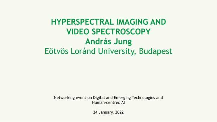
HYPERSPECTRAL IMAGING AND VIDEO SPECTROSCOPY Andr s Jung E tv s Lor nd University, Budapest Networking event on Digital and Emerging Technologies and Human-centred AI 24 January, 2022
Short introduction of the Institute of Cartography and Geinformatics (founded 1953) Research activities: thematic cartography (electronic atlases) mathematics in cartography (projections, optimal distortions) internet and mapping (webcartography, hypermedia) theoretical cartography (history of cartography, toponymy) remote sensing and geoinformatics hyperspectral imaging and field spectroscopy Educational activities: general cartography, thematic cartography computer cartography GIS geodesy, GPS, Projections, remote sensing
Expertise Hyperspectral imaging and spectral mobile mapping Over 20 years of expertise in hyperspectral imaging, remote sensing and field spectroscopy with industrial and scientific applications Running project: Multisensor-Drone-Image fusion (2022-2025): TKP2021-NVA-29, Geospatial Data (D&I Fund of Hungary)
Topic and project idea Quality control or chemical mapping of time critical processes using high spectral and temporal resolution images in energy related fields Application areas: mapping of energy plants forest or biomass management food control and sorting to reduce food wasting food monitoring from air or space
Contact details Dr. Andr s Jung associate professor Institute of Cartography and Geoinformatics Faculty of Informatics, E tv s Lor nd University H-1117 Budapest, P zm ny P ter s t ny 1/A, Hungary E-mail: jung@inf.elte.hu
