Detection of Rhododendron in Deciduous Woodland Using Airborne Hyperspectral Remote Sensing
Airborne hyperspectral remote sensing, specifically with the NEO HySPEX VNIR sensor, has enabled the identification of invasive Rhododendron species in UK woodlands. The technology offers high spectral resolution, allowing for the targeted detection of understorey species like Rhododendron, which can serve as carriers for plant pathogens. While high spatial resolution satellite data can identify potential Rhododendron areas, only hyperspectral systems can accurately separate Rhododendron from other woodland vegetation. This study highlights the importance of airborne hyperspectral systems for mapping Rhododendron coverage in woodland environments.
Download Presentation

Please find below an Image/Link to download the presentation.
The content on the website is provided AS IS for your information and personal use only. It may not be sold, licensed, or shared on other websites without obtaining consent from the author.If you encounter any issues during the download, it is possible that the publisher has removed the file from their server.
You are allowed to download the files provided on this website for personal or commercial use, subject to the condition that they are used lawfully. All files are the property of their respective owners.
The content on the website is provided AS IS for your information and personal use only. It may not be sold, licensed, or shared on other websites without obtaining consent from the author.
E N D
Presentation Transcript
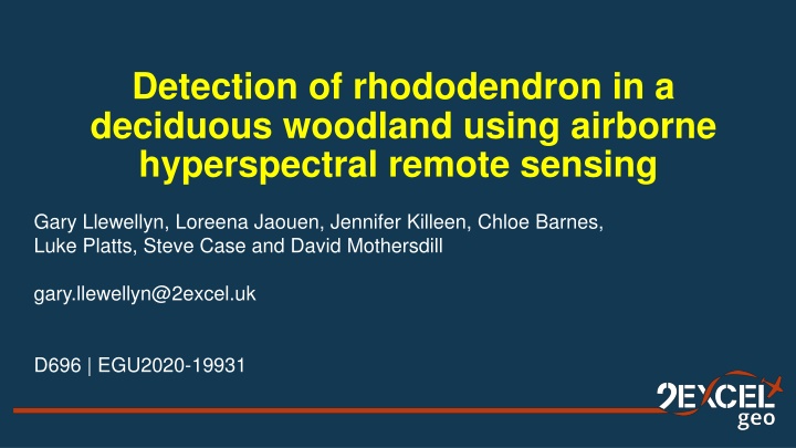
Detection of rhododendron in a deciduous woodland using airborne hyperspectral remote sensing Gary Llewellyn, Loreena Jaouen, Jennifer Killeen, Chloe Barnes, Luke Platts, Steve Case and David Mothersdill gary.llewellyn@2excel.uk D696 | EGU2020-19931
NEO HySPEX VNIR sensor Spectral range: 400 1000nm Spatial bands: 1800 Spectral channels: 186 Spectral sampling: 3.26nm Bit resolution: 16 bit Flight height (above ground level): 1000m
Rhododendron (Rhododendron ponticum) has been identified as an invasive non-native species (INNS) in the UK and a potential carrier of plant pathogen Phytophthora ramorum.
Airborne hyperspectral data allows for the detection of specific understorey species rather than the general identification of similar under-storey species, i.e. Potential Rhododendron. In this example, spectral angle mapper (SAM) values are used to separate three understorey species.
Although high spatial resolution satellite data could identify areas of potential rhododendron , the discrimination of rhododendron from other understorey woodland vegetation was not possible. Only hyperspectral systems could specifically identify rhododendron in the understorey and only airborne hyperspectral systems could provide both the spatial and spectral resolution required to identify and map rhododendron coverage.
