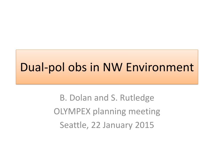
Dual-Pol Observations in NW Environment OLYMPEX Planning Meeting
The OLYMPEX planning meeting in Seattle on January 22, 2015 discussed the contribution of polarimetric S-band radar in rain estimation systems targeted by OLYMPEX. The use of specific differential phase (Kdp) helps in minimizing assumptions about drop size distribution, convective/stratiform distinctions, and enhances rainfall estimation accuracy. Detailed analysis of two cases in November 2013 and February 2014 illustrated the advantages of utilizing polarimetric data for rainfall estimation. The meeting highlighted the significance of parametric relationships and the selection of the best algorithm based on data quality. Various polarimetric data sets and their contributions were examined to improve rain estimation algorithms.

Uploaded on Sep 12, 2024 | 1 Views
Download Presentation

Please find below an Image/Link to download the presentation.
The content on the website is provided AS IS for your information and personal use only. It may not be sold, licensed, or shared on other websites without obtaining consent from the author.If you encounter any issues during the download, it is possible that the publisher has removed the file from their server.
You are allowed to download the files provided on this website for personal or commercial use, subject to the condition that they are used lawfully. All files are the property of their respective owners.
The content on the website is provided AS IS for your information and personal use only. It may not be sold, licensed, or shared on other websites without obtaining consent from the author.
E N D
Presentation Transcript
Dual-pol obs in NW Environment B. Dolan and S. Rutledge OLYMPEX planning meeting Seattle, 22 January 2015
Examined 2 Cases with KLGX What does polarimetric S-band radar contribute to rain fall estimation in the type of systems targeted by OLYMPEX? 2 Cases November 17-19 2013 February 16-18 2014 Polar data (only lowest elevation)
Advantage of Pol data in rainfall Using parameteric relationships / specific differential phase (Kdp) helps to minimize assumptions about drop size distribution, convective/ stratiform that plague direct Z-R estimates R(Zdr, Kdp) R(Zh,Zdr) R(Kdp) R(Z) Algorithm selects the best relationship given the quality of the pol data (e.g. above the noise ) Kdp > 0.3 AND Zh > 38 dBZ Zdr > 0.5 dB
The Mundane. Case 1 (Nov 18- 19 2013) Zdr Fairly small polarimetric signatures Zdr < 1.0 dB Kdp < 0.5 /km Kdp hv
.To the Interesting Case 2 (Feb 17- 18 2014) Zdr Strong embedded convective line (~50 dBZ) Even some differential attenuation at S- band (!) Kdp hv Interesting bright band / terrain interactions
Cross-section Example 10 10 6 6 2 2 10 10 6 6 2 2 Interesting microphysical signatures Aggregation NPOL/ DOW/D3R will bring hi-res vertical data ~6-8 km deep Melting Layer
PDFs of KLGX S-band Polarimetric data 20 30 30 Zdr Kdp DZ Nov 19 15 Nov 18 20 20 Feb 16 Feb 17 Frequency Frequency Frequency 10 10 10 5 0 0 0 0 0 0.5 0 1.0 4 -0.5 2 20 60 40 -1.0 -2 Zdr bin DZ bin Kdp bin Thresholds for use in rain estimation via the blended algorithm The February case is clearly stronger than the November case , but: Reflectivity is mostly below 30 dBZ and only <1% of the time Kdp exceeds 0.3 deg/km Zdr has a much more substantial signal, with the February case mostly above the threshold
PDFs of rain estimation KLGX parameters 100 100 1 CDF of Rain rate 90% of rain rates are < 10 mm hr-1 80 .01 Frequency Frequency 60 Nov 19 40 .000001 Nov 18 Rain rate PDF Feb 16 Feb 17 20 20 10 0 20 30 10 40 30 50 0 40 Rain Rate bin (mm/hr) Rain Rate bin (mm/hr)
Rain volume and method: S-band Rain volume KLGX Rain Method frequency KLGX 100 100 80 80 60 60 Frequency Frequency 40 40 20 20 0 0 Kdp,Zdr Kdp Zh,Zdr Method ZR Kdp,Zdr Kdp Zh,Zdr Method ZR During both cases, the rain rate algorithm uses Kdp (either R-Kdp-Zdr or R-Kdp)< 5% of the time (used slightly more during February case) R-Zh-Zdr is used most frequently in the February case, but R-Z is used more frequently in the November case 90% of rain rates are < 10 mm hr-1
X-band cold-season HID Example Enhanced region of Zdr Clear bright band Coincident enhancement of Kdp around -15 C Dendritic growth zone Aggregation zone From Thompson et al., 2014
In Summary Multiple frequencies will be important! Although convection can be locally intense, Kdp values are predominately too low at S-band for use in rain rate estimation X-band would increase Kdps by 3x, and could be used for rain rates of ~ 2.5 mm hr-1 (Matrosov et al. 2006) Use X-band to tune the S-band algorithm? D3R will be important for light rain estimation Zdr can provide some additional constraints on rain estimation, especially in heavier cases Both X-band and S-band will provide nice microphysical data, especially in the vertical
KLGX HID Case 2 (Feb 17-18 2014)