Different Types of Maps and Their Uses
Learn about various types of maps such as thematic, choropleth, isopleth, raised relief, topographic, political, contour-line, natural resource, military, bird's-eye view, artifact, satellite photograph, pictograph, and weather maps. Understand how to read maps and the significance of thematic maps in visualizing data. Discover the diverse applications of maps in geography, navigation, and information representation.

Download Presentation

Please find below an Image/Link to download the presentation.
The content on the website is provided AS IS for your information and personal use only. It may not be sold, licensed, or shared on other websites without obtaining consent from the author.If you encounter any issues during the download, it is possible that the publisher has removed the file from their server.
You are allowed to download the files provided on this website for personal or commercial use, subject to the condition that they are used lawfully. All files are the property of their respective owners.
The content on the website is provided AS IS for your information and personal use only. It may not be sold, licensed, or shared on other websites without obtaining consent from the author.
E N D
Presentation Transcript
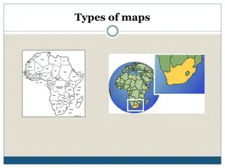
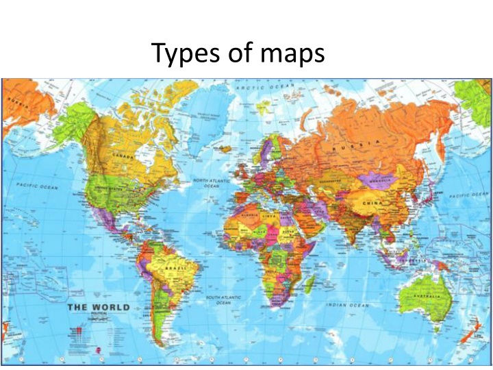
Types of maps How to read a map Maps are pictures of the Earth's surface Reference maps just show natural features like rivers, cities, political subdivisions and highways. Thematic maps use these items only as reference points to enhance one's understanding of the map's theme and purpose. Thematic maps did not develop as a map type until the mid-17th Century. Today with the increased use of Geographic Information Systems (GIS) thematic maps are growing in importance.
Thematic maps Choropleth map: a map that uses differences in shading, coloring, or the placing of symbols within predefined areas to indicate the average values of a property or quantity in those areas. Isopleth map: An isopleth map generalizes and simplifies data with a continuous distribution. It shows the data as a third dimension on a map, thus isopleth maps are more common elevations, amounts of precipitation, atmospheric pressure, and numerous other measurements that can be viewed statistically as a third dimension. for mapping surface
Topographic map Topo explanation video


")