Biomass WG Breakout Report - Goals, Accomplishments, Plans
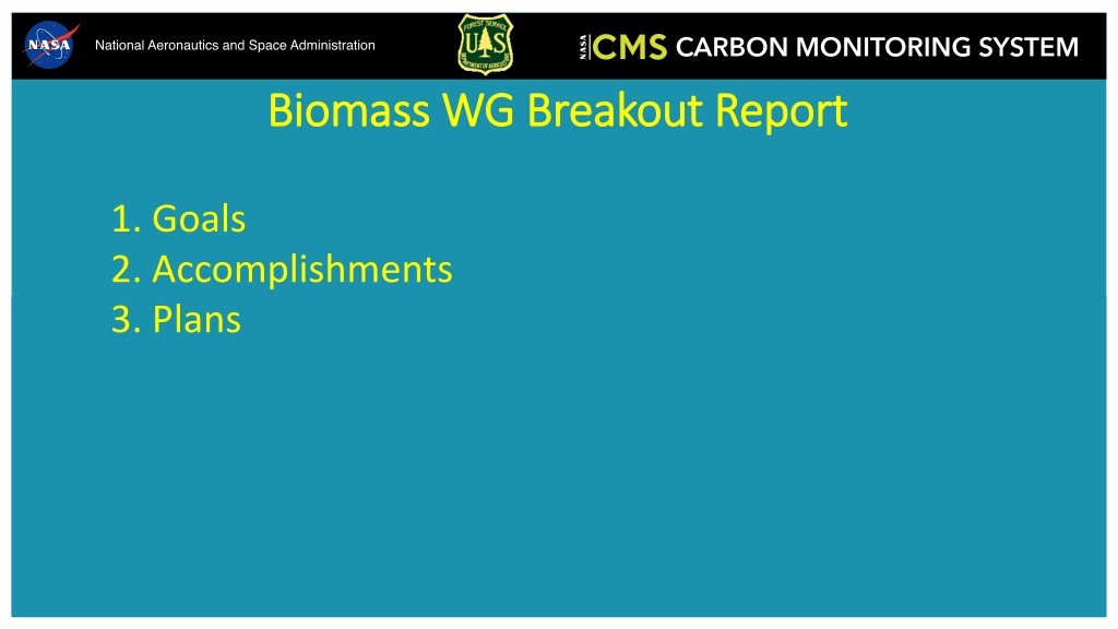


1. Goals
2. Accomplishments
3. Plans

B
i
o
m
a
s
s
W
G
B
r
e
a
k
o
u
t
R
e
p
o
r
t

•
Connecting projects with similar themes, goals via round-robin of WG member
presentations.
•
Finish and write up the Oregon aboveground biomass (AGB) map comparison
•
More biomass map comparisons, beyond the current one in Oregon
o
Particularly at national or larger scale
o
Not be just forest-centric, but other woody vegetation, woodlands, shrublands, and savannas.
o
We tend to concentrate on OG and mature forest, but what about regeneration, secondary forest?
•
Merge with Uncertainty WG?

1
.
G
o
a
l
s
•
Several presentations within WG
o
Recordings for most are available on CMS website
•
Progress on OR AGB map comparison at county, hex, stand levels
2
.
A
c
c
o
m
p
l
i
s
h
m
e
n
t
s
2
0
2
2
-
2
3
County
polygons
FIA
Hexagons
Stand
polygons
County polygons
S
u
m
m
a
r
y
(
n
=
1
7
m
a
p
s
)
Slope = 0.98
RMSE = 28.38
Intercept = 2.7
Adj. R-squared = 0.9
Bias = 1
S
u
m
m
a
r
y
(
n
=
1
7
m
a
p
s
)
Slope = 1.18
RMSE = 20.1
Intercept = -28.11 Adj. R-squared = 0.95
Bias = -4.57
FIA Hexagons
S
u
m
m
a
r
y
(
n
=
1
7
m
a
p
s
)
Slope = 0.97
RMSE = 63.26
Intercept = 6.26
Adj. R-squared = 0.66
Bias = 0.24
S
u
m
m
a
r
y
(
n
=
1
7
m
a
p
s
)
Slope = 1.17
RMSE = 48.71
Intercept = -25.11 Adj. R-squared = 0.8
Bias = -7.09
Stand polygons
S
u
m
m
a
r
y
(
n
=
1
7
m
a
p
s
)
Slope = 0.76
RMSE = 131.99
Intercept = 66.43 Adj. R-squared = 0.34
Bias = -9.28
S
u
m
m
a
r
y
(
n
=
1
7
m
a
p
s
)
Slope = 0.8
RMSE = 126.72
Intercept = 66.34 Adj. R-squared = 0.39
Bias = -21.15
•
Coordinate comparison of dryland biomass estimates and uncertainty between
Armston 2020 (South Africa and Australia) and Silva 2022 (Brazil) CMS projects
•
National-scale biomass map comparison here in the data-rich USA
•
State, county, FIA hex aggregation units make this powerful quantitatively,
analytically
o
Design-based FIA ground truth data makes this scale advantageous
•
Mexico is another good candidate for comparing multiple CMS products, also
within administrative/jurisdictional polygons
•
How do evaluate/compare map estimates at pixel level?
•
How to deal with different Forest/Nonforest masks and resulting effects on
aggregated estimate within a jurisdiction? How much does this F/NF classification
contribute to uncertainty?
3
.
P
l
a
n
n
e
d
A
c
t
i
v
i
t
i
e
s
2
0
2
3
-
2
4
•
How much does allometry contribute to uncertainty?
•
How do those allometric errors scale upon aggregation?
•
Next iteration of CEOS biomass protocol will be validation of biomass change
estimates (Neha Hunka and Kim Calders)
•
Integrate with biomass harmonization activity (Laura and Neha)
•
How many biomass map products are out there, nationally, regionally, and
globally?
o
Moving target
•
Review/synthesis paper at large scale (national and above)
3
.
P
l
a
n
n
e
d
A
c
t
i
v
i
t
i
e
s
2
0
2
3
-
2
4
Goals of the Biomass Working Group include connecting projects with similar themes, finishing the Oregon aboveground biomass map comparison, and expanding biomass map comparisons at a national scale. Accomplishments from 2022-2023 involve presentations within the group and progress on the Oregon AGB map comparison. The report includes summaries of county, FIA hexagons, and stand polygons data.

Download Presentation

Please find below an Image/Link to download the presentation.
The content on the website is provided AS IS for your information and personal use only. It may not be sold, licensed, or shared on other websites without obtaining consent from the author.If you encounter any issues during the download, it is possible that the publisher has removed the file from their server.
You are allowed to download the files provided on this website for personal or commercial use, subject to the condition that they are used lawfully. All files are the property of their respective owners.
The content on the website is provided AS IS for your information and personal use only. It may not be sold, licensed, or shared on other websites without obtaining consent from the author.
E N D
Presentation Transcript
Biomass WG Breakout Report Biomass WG Breakout Report 1. Goals 2. Accomplishments 3. Plans
1. Goals 1. Goals Connecting projects with similar themes, goals via round-robin of WG member presentations. Finish and write up the Oregon aboveground biomass (AGB) map comparison More biomass map comparisons, beyond the current one in Oregon o Particularly at national or larger scale o Not be just forest-centric, but other woody vegetation, woodlands, shrublands, and savannas. o We tend to concentrate on OG and mature forest, but what about regeneration, secondary forest? Merge with Uncertainty WG?
2. Accomplishments 2022 2. Accomplishments 2022- -23 23 Several presentations within WG o Recordings for most are available on CMS website Progress on OR AGB map comparison at county, hex, stand levels
County polygons
FIA Hexagons
Stand polygons
County polygons Summary (n = 17 maps) Slope = 0.98 Intercept = 2.7 Adj. R-squared = 0.9 Bias = 1 Summary (n = 17 maps) Slope = 1.18 Intercept = -28.11 Adj. R-squared = 0.95 Bias = -4.57 RMSE = 28.38 RMSE = 20.1
FIA Hexagons Summary (n = 17 maps) Slope = 0.97 Intercept = 6.26 Adj. R-squared = 0.66 Bias = 0.24 Summary (n = 17 maps) Slope = 1.17 Intercept = -25.11 Adj. R-squared = 0.8 Bias = -7.09 RMSE = 63.26 RMSE = 48.71
Stand polygons Summary (n = 17 maps) Slope = 0.76 Intercept = 66.43 Adj. R-squared = 0.34 Bias = -9.28 Summary (n = 17 maps) Slope = 0.8 Intercept = 66.34 Adj. R-squared = 0.39 Bias = -21.15 RMSE = 131.99 RMSE = 126.72
County Polygons OR-LiDAR (2008 2015) CMS-LiDAR (2008 2015) FIA BIGMAP (2014 2018) TreeMap-AGB (2007 2016) CMS-AGB (2000 2016 (n=17)) CAORWA (2000 2016 (n=17)) Slope Intercept RMSE Adj. R-squared Bias 1.26 1.95 1.07 1.06 0.98 1.18 -78.62 -57.77 -42.22 -26.03 2.70 -28.11 29.29 25.94 24.58 55.70 28.38 20.10 0.88 0.91 0.92 0.58 0.90 0.95 23.78 -63.18 26.07 14.50 1.00 -4.57 FIA Emap Hexagons (64,000 ha) OR-LiDAR (2008 2015) CMS-LiDAR (2008 2015) FIA BIGMAP (2014 2018) TreeMap-AGB (2007 2016) CMS-AGB (2000 2016 (n=17)) CAORWA (2000 2016 (n=17)) Slope Intercept RMSE Adj. R-squared Bias 1.04 1.69 1.03 1.03 0.97 1.17 -35.34 -26.23 -32.53 -15.62 6.26 -25.11 58.36 59.21 55.51 83.26 63.26 48.71 0.71 0.70 0.74 0.41 0.66 0.80 25.55 -63.57 26.09 9.43 0.24 -7.09 Stand Polygons OR-LiDAR (2008 2015) CMS-LiDAR (2008 2015) FIA BIGMAP (2014 2018) TreeMap-AGB (2007 2016) CMS-AGB (2000 2016 (n=17)) CAORWA (2000 2016 (n=17)) Slope Intercept RMSE Adj. R-squared Bias 0.98 1.67 0.88 0.61 0.76 0.80 -22.72 -19.51 -4.28 87.86 66.43 66.34 88.19 90.85 122.92 149.39 131.99 126.72 0.62 0.61 0.38 0.10 0.34 0.39 29.16 -103.15 42.87 0.07 -9.28 -21.15
3. Planned Activities 2023 3. Planned Activities 2023- -24 24 Coordinate comparison of dryland biomass estimates and uncertainty between Armston 2020 (South Africa and Australia) and Silva 2022 (Brazil) CMS projects National-scale biomass map comparison here in the data-rich USA State, county, FIA hex aggregation units make this powerful quantitatively, analytically o Design-based FIA ground truth data makes this scale advantageous Mexico is another good candidate for comparing multiple CMS products, also within administrative/jurisdictional polygons How do evaluate/compare map estimates at pixel level? How to deal with different Forest/Nonforest masks and resulting effects on aggregated estimate within a jurisdiction? How much does this F/NF classification contribute to uncertainty?
3. Planned Activities 2023 3. Planned Activities 2023- -24 24 How much does allometry contribute to uncertainty? How do those allometric errors scale upon aggregation? Next iteration of CEOS biomass protocol will be validation of biomass change estimates (Neha Hunka and Kim Calders) Integrate with biomass harmonization activity (Laura and Neha) How many biomass map products are out there, nationally, regionally, and globally? o Moving target Review/synthesis paper at large scale (national and above)