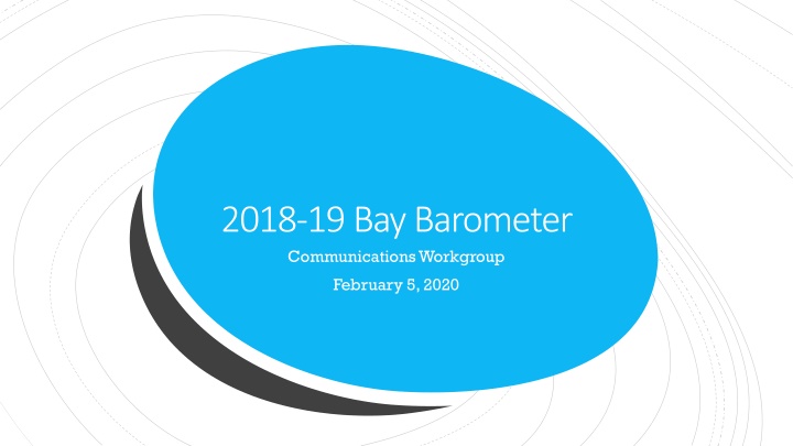
2018-19 Bay Barometer Communications Workgroup Report
Annual report on watershed health and restoration, highlighting the lack of updated indicators and providing insights into the improved indicators concerning blue crab abundance, protected lands, public access, RPI, and SAV metrics. The report outlines the progress made in various areas within the Chesapeake Bay watershed, emphasizing the need for continued monitoring and action to ensure environmental sustainability and conservation efforts.

Download Presentation

Please find below an Image/Link to download the presentation.
The content on the website is provided AS IS for your information and personal use only. It may not be sold, licensed, or shared on other websites without obtaining consent from the author.If you encounter any issues during the download, it is possible that the publisher has removed the file from their server.
You are allowed to download the files provided on this website for personal or commercial use, subject to the condition that they are used lawfully. All files are the property of their respective owners.
The content on the website is provided AS IS for your information and personal use only. It may not be sold, licensed, or shared on other websites without obtaining consent from the author.
E N D
Presentation Transcript
2018-19 Bay Barometer Communications Workgroup February 5, 2020
Quick recap. Annual report on Annual report on watershed health and watershed health and restoration. restoration. Retrospective summary of Retrospective summary of previously published previously published indicators. indicators.
Whats new this year? What s new this year? We are changing things up a bit.
Why are we Why are we changing things changing things up? up? Do not have any brand- new indicators. 2016: Diversity 2017: Stewardship 2018: Climate Monitoring & Assessment
Lack of updated indicators Lack of updated indicators Only seven out of 19 indicators were updated in 2019. Three of the indicators that needed improvement in 2018 were not updated in 2019. Forest Buffers Toxic Contaminants Policy and Prevention Wetlands
Seven updated indicators Blue crab abundance: Between 2018 and 2019, the abundance of adult female blue crabs in the Chesapeake Bay increased 30 percent from 147 million to 194 million. Blue crab management: Am estimated 23 % of the female blue crab population was harvested in 2018. The blue crab stock is not depleted or overfished. Oysters: Ten Chesapeake Bay tributaries have been selected for large scale oyster restoration and are in various stages of completion.
Seven updated indicators Protected Lands: Nearly 1.36 million acres of land in the watershed have been permanently protected since 2010, achieving 68 % of the goal to protect an additional two million acres of land by 2025. Public Access: Between 2010 and 2018, 176 public access sites opened across the watershed, achieving a 59 % achievement of the goal to add 300 new sites by 2025.
Seven updated indicators RPI: As of 2018, the Phase 6 Watershed Model estimates that pollution-reducing practices are in place to achieve 39 % of nitrogen and 77 % of phosphorus reductions. Additionally, pollution controls put in place between 2009 and 2018 lowered nitrogen loads by 10 % and phosphorus loads by 13 %. SAV: 91,559 acres of underwater grasses were mapped in 2018, although 22 % of the Bay was not mapped due to security restrictions, weather conditions and prolonged turbidity. Accounting for these unmapped portions, it is possible the Bay supported 108,960 acres in 2018.
What do we know? The Bay Barometer is primarily used to answer two questions. Is the Bay healthy? How has the Chesapeake Bay Program helped to restore the Bay over the past year?
Seven updated indicators. Chesapeake Bay Program highlights from the past year. More general public-friendly language. Story format. Similar to news blurbs from previous Barometers.
Timeline Please review content by Friday, February 14. Tentative release date of mid- March.
Questions? Questions? Rachel Felver Chesapeake Bay Program Communications Director Alliance for the Chesapeake Bay rfelver@chesapeakebay.net (410) 267-5740