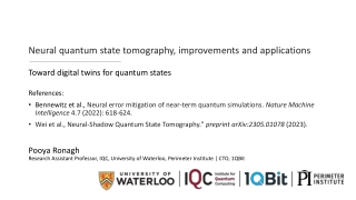
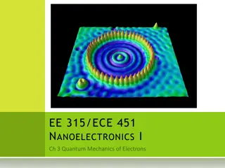
Neural quantum state tomography, improvements and applications
Advancements and potential applications of neural quantum state tomography, aiming to reduce the exponential classical memory required for expressing quantum states. It discusses the benefits of using machine learning techniques to process and analyze quantum data, such as cleaning up states, manipu
4 views • 26 slides
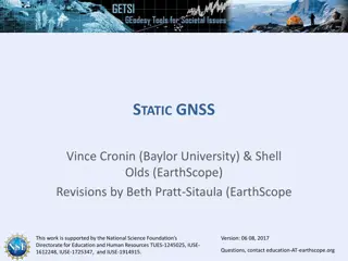
Understanding Static GNSS Techniques and Products for Geospatial Applications
This educational material provides insights into static GNSS techniques, products, and their societal benefits. It covers topics such as distinguishing static GNSS techniques, understanding different products, and the capabilities of static GNSS stations. The content explores the Network of the Amer
3 views • 20 slides
Ancient Healing Practices and Theories in Medicine
Explore the ancient practices and theories in medicine, including the fascinating rituals of Asklepiadic incubation and the blending of magic and science in ancient healing. Delve into the application of observable events explained in terms of non-observables, effects produced through manipulation,
4 views • 75 slides
Asia-Pacific Location-based Services Market
Asia-Pacific Location-based Services Market by Component, Technology (GNSS, GPS), Application (Navigation, Mapping & GIS), Location Type, End-use Industry (Transportation & Logistics, Retail & E-commerce), and Geography -Forecast to 2031
1 views • 5 slides

Workshop Report on Implementation of UN Regulations R155 & R156
The report presents key discussions from the 16th workshop on UN Regulations R155 & R156, covering topics such as GNSS spoofing, reporting provisions, software updates, and recertification processes for CSMS/SUMS. It highlights the need for risk assessment, annual reporting, software obligations, an
0 views • 11 slides
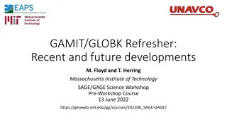
Recent Developments in GAMIT/GLOBK for GNSS Processing
Significant updates and future developments in GAMIT/GLOBK for GNSS processing include processing of multiple constellations independently, transition to secure HTTP for code distribution, addition of azimuth field for station alignment, and regular updates schedule. Higher-order ionosphere and rapi
0 views • 10 slides
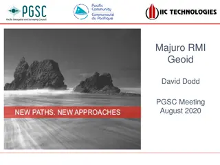
Understanding the Importance of Geoid Models Using GNSS Technology
Explore the significance of geoid models in surveying to determine orthometric heights, monitor sea level changes, and establish stable datum reference frames. The challenges, solutions, and recommendations for geoid development are discussed in the context of Majuro, RMI. Various aspects like geoid
2 views • 14 slides
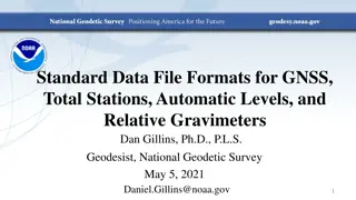
Standard Data File Formats for Geospatial Instruments
Understanding the importance of standard file formats for GNSS, total stations, automatic levels, and relative gravimeters to facilitate data exchange, processing, and preservation in the geospatial industry. Exploring the significance of RINEX and other XML-based formats, along with examples and th
2 views • 30 slides
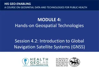
Understanding Global Navigation Satellite Systems (GNSS) in Geospatial Data for Public Health
Explore the key terms such as accuracy, GLONASS, GPS, precision, scale, and more in this session on GNSS technology. Understand how GNSS works, the constellation of satellites involved, and the different satellite navigation systems like GPS, GLONASS, BeiDou, and Galileo that provide autonomous geo-
6 views • 23 slides
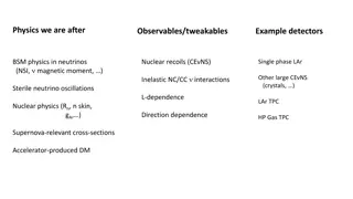
Exploring Neutrino Physics and Beyond with Observables and Detectors
Delve into the realm of neutrino physics, nuclear recoils, and other phenomena like sterile neutrino oscillations using detectors such as BSM and single-phase LAr inelastic NC/CC interactions. From NSI to Supernova-relevant cross-sections and accelerator-produced DM, this research journey covers a w
0 views • 5 slides
Location-Based Services Market: Emerging Technologies and Their Applications
Location-based Services Market by Component, Technology (GNSS, GPS), Application (Navigation, Tracking), Location Type, End-use Industry (Government and Public Sector, Transportation & Logistics, Smart Cities), and Geography - Global Forecast to 2031
0 views • 4 slides
Estimation of Ionospheric Critical Plasma Frequencies Using GNSS Measurements
This research focuses on estimating the critical plasma frequency of the ionosphere, specifically the F2 layer (f0F2), using GNSS measurements. The study reviews past work on ionospheric modeling, discusses neural network training inputs, and presents a single station neural network model (NNT2F2).
0 views • 26 slides

Understanding Knockout JS: A Powerful JavaScript Library for Dynamic UIs
Knockout JS is a JavaScript library developed by Steve Sanderson that facilitates the creation of dynamic and responsive user interfaces. It is based on the MVVM design pattern, which separates the data model, view model, and view to enhance maintainability and reduce errors. The library's observabl
3 views • 20 slides
European Deep Space Surveillance and Tracking Collaboration
EU Space Surveillance and Tracking program involves five European nations collaborating to assess and reduce risks to European spacecraft, provide early warnings for re-entries and space debris, and prevent space debris proliferation. Available deep space sensors, such as optical telescopes, are uti
1 views • 8 slides
Exploring Neutron Star Equations of State in Theoretical Physics
Study of gravity at high energy density using General Relativity, testing Einstein's equations, constructing Equations of State (EoS) from hadron inputs, and examining theories beyond GR. Focus on constraints from astrophysical observables and determining uncertainties in employed EoS.
1 views • 20 slides
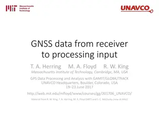
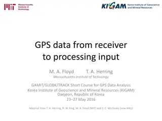
Understanding GNSS Data Processing with RINEX Formats
Explore the journey of GNSS data from receiver to processing input, focusing on the motivation behind the Receiver INdependent EXchange (RINEX) format and the evolution from RINEX 2 to RINEX 3. Learn about raw data formats, RINEX file conventions, and the significance of RINEX 2 data format in GPS o
1 views • 15 slides
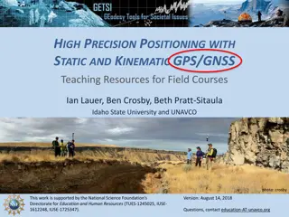
Enhancing Geoscience Field Courses with High-Precision GNSS Teaching Resources
Explore the benefits and challenges of integrating high-precision GNSS tools in field courses for geoscience students. Discover how students can develop valuable skills, apply GNSS surveys to societal issues, and tackle geologic research questions. Uncover strategies to overcome barriers and motivat
0 views • 8 slides
Development of Cumulative Fission Yield Covariances for Uncertainty Quantification
This study by A.A. Sonzogni and E.A. McCutchan focuses on developing cumulative fission yield covariances for uncertainty quantification in nuclear reactors. The research involves calculating cumulative fission yields, using decay data and nuclear databases, to improve accuracy in predicting fission
0 views • 5 slides
Regional Recovery of Disturbing Gravitational Potential from GOCE Observables
Collaboration with ESA on regional recovery of the disturbing gravitational potential from GOCE observables, focusing on motivation, theoretical background, numerical experiments, results, and conclusions. The project aims to enhance the accuracy of regional gravity field data in Europe using EGG da
0 views • 21 slides

High-Tech Survey Methods for Continuous Cadastral Map Generation
Generation of cadastral maps through advanced survey techniques using ortho-images, DGPS/GNSS, and ETS. The process involves obtaining boundary vectors from ortho-images, surveying obscured areas with DGPS/GNSS and ETS, and integrating datasets in a GIS environment. The objective is to create contin
0 views • 14 slides
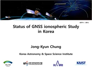
GNSS Ionospheric Study in Korea: Insights and Findings
Explore the status of GNSS ionospheric study in Korea, including details on Korea's GPS permanent network, IGS, KASI Global Data Center, TEC mapping, and ionospheric tomography. Discover how ground-based GPS data is used to study ionospheric electron densities and monitor ionospheric storms in Korea
0 views • 15 slides
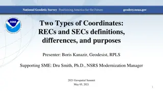
Understanding REC and SEC Coordinates in Geodesy
Geodesist Boris Kanazir and NSRS Modernization Manager Dru Smith delve into the definitions, differences, and purposes of Reference Epoch Coordinates (RECs) and Survey Epoch Coordinates (SECs) at the 2021 Geospatial Summit. OPUS coordinates, SEC computation by NGS every four weeks, REC re-computatio
0 views • 17 slides
Understanding GPS Data Processing and RINEX Formats
Learn about the process of transferring GPS data from receivers to processing input, the importance of RINEX formats for universal data exchange, different raw data formats, motivation behind RINEX development, and details about RINEX versions. Explore RINEX 2 data format, its file naming convention
0 views • 13 slides
GNSS 2018 Program and Data Management Guide
Detailed guide on managing GNSS data for the year 2018, covering essential programs, utilities, file structures, and data sources. It includes information on arranging ephemerides, preparing site folders, finding GNSS data, GPS measurements archives, and relevant links for data retrieval.
0 views • 51 slides
Project Task for Heavy Ion Physics Class at Mt. Csand Etvs University 2023/24 Spring Semester
This project involves analyzing real data from ultrarelativistic heavy ion collisions to measure physical observables such as elliptic flow (v2) or HBT radii (R) versus pT and centrality. It includes working with ROOT format data, setting up C++ and ROOT environments, installing necessary tools, and
0 views • 17 slides
Verification and Validation of FISPACT-II & General-Purpose Nuclear Data Libraries
The paper discusses the verification and validation of FISPACT-II and general-purpose nuclear data libraries presented at the UK National Conference on Applied Radiation Metrology. It covers new features of FISPACT-II, fusion decay heat experiments, uncertainty quantification, collaboration opportun
0 views • 17 slides
GNSS Application in Pedestrian Navigation for Indoor and Outdoor Environments
Communication forms and visual aids play a crucial role in supporting pedestrian wayfinding. Different methods such as maps, floor plans, verbal and textual guidance, images, videos, and 3D presentations are utilized to enhance navigation experiences for users. The use of Location Based Services and
0 views • 19 slides
Investigation of Spin Observables in Elastic pp and p(bar)p Scattering at SPASCHARM Program
Measurements of spin observables in elastic pp and p(bar)p scattering at 16 GeV will be conducted at the SPASCHARM program using a unique setup with polarized proton and antiproton beams. The experiment aims to extend the energy range for spin studies and compare elastic scattering in pp and p(bar)p
0 views • 24 slides
Understanding Quantum Mechanics Postulates and Operators
Explore the foundational principles of quantum mechanics, including postulates describing quantum systems, wavefunctions, probabilistic nature, Hermitian operators, eigenvalues, and their significance in measuring physical observables.
0 views • 16 slides
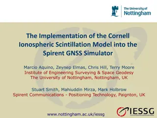
Implementation of Cornell Ionospheric Scintillation Model in Spirent GNSS Simulator
Researchers from the University of Nottingham and Spirent Communications collaborated to implement the Cornell Ionospheric Scintillation Model into the Spirent GNSS Simulator. The study focuses on the diffractive effects of ionospheric scintillation on GNSS signals, examining small-scale plasma irre
0 views • 24 slides
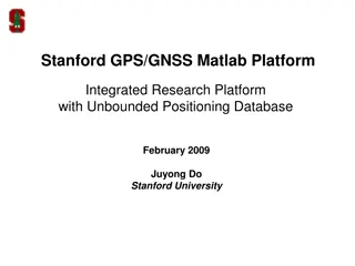
Stanford GPS/GNSS Matlab Platform Overview
Stanford GPS/GNSS Matlab Platform (SGMP) is an integrated research platform developed at Stanford University for GPS research activities. The platform provides tools for utilizing GPS/GNSS measurements in various formats, converting positioning databases, simulation capabilities, and user interfaces
0 views • 21 slides
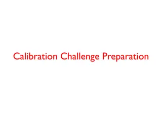
CLAS12 Calibration Challenge: Preparation, Goals, Metrics, and Team Analysis
The CLAS12 Calibration Challenge involves preparing and testing calibration suites, running calibration code on simulated data, and comparing calibration constant values to extracted ones for successful calibration. Goals include testing individual calibration suites, the CLAS12 calibration procedur
0 views • 8 slides
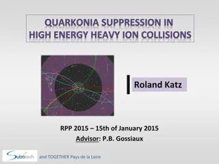
Quarkonia Suppression in High Energy Heavy Ion Collisions by Roland Katz
Investigating the phenomenon of Quarkonia suppression in high energy heavy ion collisions, Roland Katz explores the properties of Quark Gluon Plasma and the behavior of quarks and gluons under extreme conditions. The study delves into the dynamics using the Schrödinger-Langevin equation, highlighti
0 views • 23 slides
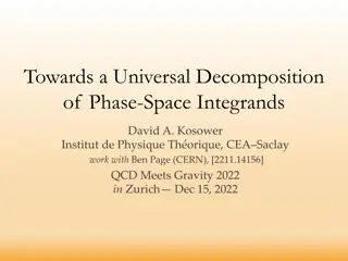
Advancing Phase-Space Integrands Decomposition in Particle Physics
Towards a universal approach for disentangling complex phase-space integrands in particle collisions, researchers are exploring methods to tame jet hair, cancel divergences in observables, and develop frameworks for precise calculations at various perturbative orders. The vision includes mastering m
0 views • 19 slides
Understanding GPS Technology and Augmentations
Global Positioning System (GPS) utilizes a constellation of satellites to accurately determine device locations on Earth. The system consists of 24 satellites orbiting the planet, with an orbital configuration ensuring worldwide coverage. GPS offers high accuracy, with advancements like Differential
0 views • 9 slides
GPS Applications in Research - GEOL 4408/5508 Course Information
Explore GPS applications in research in the GEOL 4408/5508 course offered by the Department of Geosciences. Taught by Instructor H. Carrie Bottenberg, the course covers topics like satellite positioning, GPS/GNSS theory, mapping, and data analysis. Engage in field trips to enhance practical skills i
0 views • 10 slides
Civilian GNSS Signals Overview: GPS, GLONASS, Galileo
An insightful lecture on civilian GNSS signals by Dr. Ali Albu-Rghaif covers GPS, GLONASS, and Galileo signals. The content delves into GPS signal modulation, generation, receiving, and demodulation processes, highlighting the carrier wave, navigation data, and spreading sequences. It also discusses
0 views • 20 slides
Exploring Pasta Phase in Neutron Stars: Upper Limits and Observational Effects
Investigating the impact of pasta phase on neutron star observables, this research by William Newton, Michael Gearheart, Josh Hooker, and Bao-An Li discusses the crust composition, transition densities, and compressible Liquid Drop Model (CLDM). The study explores the uncertainties in symmetry energ
0 views • 30 slides

University of Toronto Graduate Nurses Student Society Overview
The Graduate Nurses Student Society (GNSS) at the University of Toronto represents and advocates for graduate nursing students. It provides leadership, social involvement, mentorship activities, and promotes student-faculty engagement. The society's current executive team and council structure are o
0 views • 12 slides