Enhancing Geoscience Field Courses with High-Precision GNSS Teaching Resources
Explore the benefits and challenges of integrating high-precision GNSS tools in field courses for geoscience students. Discover how students can develop valuable skills, apply GNSS surveys to societal issues, and tackle geologic research questions. Uncover strategies to overcome barriers and motivate students to learn GNSS techniques for precise positioning.
Download Presentation

Please find below an Image/Link to download the presentation.
The content on the website is provided AS IS for your information and personal use only. It may not be sold, licensed, or shared on other websites without obtaining consent from the author.If you encounter any issues during the download, it is possible that the publisher has removed the file from their server.
You are allowed to download the files provided on this website for personal or commercial use, subject to the condition that they are used lawfully. All files are the property of their respective owners.
The content on the website is provided AS IS for your information and personal use only. It may not be sold, licensed, or shared on other websites without obtaining consent from the author.
E N D
Presentation Transcript
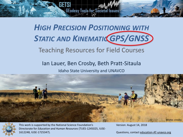
HIGH PRECISION POSITIONING WITH STATIC AND KINEMATIC GPS/GNSS Teaching Resources for Field Courses Ian Lauer, Ben Crosby, Beth Pratt-Sitaula Idaho State University and UNAVCO photo: crosby This work is supported by the National Science Foundation s Directorate for Education and Human Resources (TUES-1245025, IUSE- 1612248, IUSE-1725347). Version: August 14, 2018 Questions, contact education-AT-unavco.org
MOTIVATIONTO DEVELOPTHIS CURRICULUM GNSS in increasingly accessible to geoscientists Ubiquitous, affordable and dependable hardware Simpler to operate. Easy to download and visualize High-precision GNSS remains valuable to science applications
HIGH PRECISION GNSS INTHE GEOSCIENCES Why teach students high precision GNSS tools? If you want to measure small changes (a few cm or less), you have to use high precision instruments. Applications include: Tectonics (intra-plate and plate boundary) Volcanic Activity Geomorphic Change Detection Hydrologic Change Tracking or mapping other fine-scale objects
BENEFITSTO INTEGRATING GNSS IN FIELD COURSES What are your experiences? Students developing desirable/saleable skills Provide differing approaches to similar questions Integrate quantitative skills into traditionally qualitative learning environments Broaden the types of data incorporated into field observations
BARRIERSTO INTEGRATING GNSS IN FIELD COURSES What are your experiences? Traditional vs. Modern Tools How to keep all students engaged? Technology is expensive We may not be experts in the technology yet
STUDENTS NEED GNSS SKILLS MOVING FORWARD Curriculum is constructed around three goals: Students can design and conduct a GNSS survey to address a geologic research question. Students can justify when and why different techniques are appropriate in different situations. Students can apply the findings of GNSS surveys to societal issues We accomplish these in three, field-based units (to be discussed tomorrow morning)
OTHER LOGISTICS Internet connection (see board) How many people have PCs w/ ArcGIS? Tonight other activities? Back to hotel directly Back to hotel via grocery/beer stop Head downtown for awhile
TOMORROW Meet hotel foyer 7:40 am Tomorrow is on campus but we will be outside up to several hours total so bring: Binder Laptop Water bottle Coffee cup Sunscreen/gear
