Visualizing Choropleth Maps in R with tmap using CSO ESRI Shapefiles and StatBank Data
Learn how to create thematic choropleth maps in R using the tmap package. This tutorial covers importing ESRI shapefiles from CSO, loading StatBank data, plotting map data, and customizing map appearance with color palettes. Follow step-by-step instructions with visuals for effective spatial data vi
0 views • 22 slides
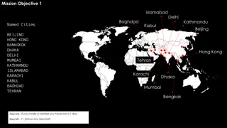
Mission Challenges Overview
The mission involves various objectives such as identifying named cities, solving riddles, creating choropleth maps, and measuring distances for the quickest route. Mistakes result in days lost, making decision-making critical for survival.
0 views • 7 slides
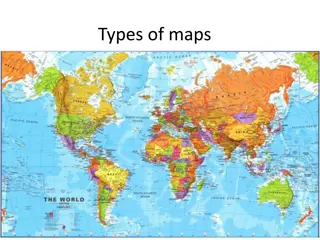
Different Types of Maps and Their Uses
Learn about various types of maps such as thematic, choropleth, isopleth, raised relief, topographic, political, contour-line, natural resource, military, bird's-eye view, artifact, satellite photograph, pictograph, and weather maps. Understand how to read maps and the significance of thematic maps
0 views • 15 slides


