Guiding Principles for GETSI/INTEGRATE Webinar – Materials Development and Goals
The webinar presented by David Steer from the University of Akron focuses on guiding principles for material development in the context of GETSI/INTEGRATE modules. It outlines goals for the session, including discussing components of the guiding principles, examples of meeting those principles, and linking goals with the materials design rubric. The guiding principles emphasize interdisciplinary problems, nature and methods of science, and incorporating authentic geodesy data. Grand challenges in geodesy and GETSI modules at different academic levels are also highlighted.

Download Presentation

Please find below an Image/Link to download the presentation.
The content on the website is provided AS IS for your information and personal use only. It may not be sold, licensed, or shared on other websites without obtaining consent from the author. Download presentation by click this link. If you encounter any issues during the download, it is possible that the publisher has removed the file from their server.
E N D
Presentation Transcript
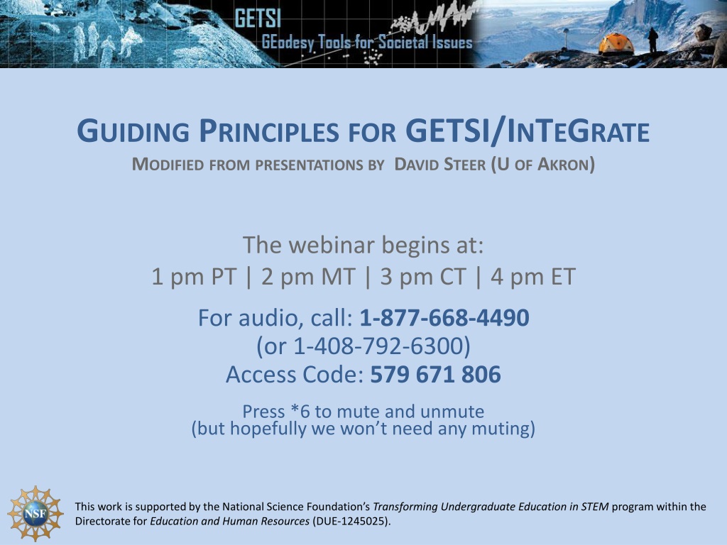
GUIDING PRINCIPLES FOR GETSI/INTEGRATE MODIFIED FROM PRESENTATIONS BY DAVID STEER (U OF AKRON) The webinar begins at: 1 pm PT | 2 pm MT | 3 pm CT | 4 pm ET For audio, call: 1-877-668-4490 (or 1-408-792-6300) Access Code: 579 671 806 Press *6 to mute and unmute (but hopefully we won t need any muting) This work is supported by the National Science Foundation s Transforming Undergraduate Education in STEM program within the Directorate for Education and Human Resources (DUE-1245025).
GOALS FOR THIS WEBINAR 1. Discuss in more depth the components of the Guiding Principles within the module design rubric 2. Consider examples of how the Guiding Principles might be met in the Year 1 GETSI modules
LINKING GOALS AND PROCESS: THE MATERIALS DESIGN RUBRIC 1. Guiding Principles 2. Learning Goals and Outcomes 3. Assessment and Measurement 4. Resources and Materials 5. Instructional Strategies 6. Alignment 7. GETSI-specific Instructional Strategies
GUIDING PRINCIPLES FOR MATERIALS DEVELOPMENT A. Grand Challenges B. Interdisciplinary problems (geoscience & social science tied together) C. Nature and methods of science D. Authentic geodesy data and inquiry E. [System thinking]
GRAND CHALLENGES GEODESY/GETSI --subset of these of particular societal importance
A. GRAND CHALLENGES GETSI YEAR 1 Intro level understanding changes in sea level and ice mass Majors level understanding earthquake processes and hazards
B. INTERDISCIPLINARY PROBLEMS (GEOSCIENCE & SOCIAL SCIENCE TIED TOGETHER) Using GETSI Year 1 module topics, what are some possible ties to societal issues or social science that could be included? Majors - Trying to get students to think about potential damage to infrastructure/buildings; maps w/ key features; identify things at risk Intro soil moisture, aquifer depletion, sites on the coast Are there regional difference within the modules? Yes, multiple sites are great if feasible Students need to actually be asked to wrestle with the societal implications, not just the instructor knowing there is a connection Elucidating difference between hazard and risk
C. NATURE AND METHODS OF SCIENCE Integrating Geoscientific thinking into learning materials Single most important thing you can do is to simply make your thinking explicit Think aloud to students as you reason through a geoscientific question Ask students to explore the uncertainty in data rather than just the data itself Add reflective prompts to existing activities that involve open- ended inquiry or research projects Ask students how and why they would address a problem rather than solve the problem (Ex. designing a field investigation)
C. NATURE AND METHODS OF SCIENCE 1. What are ways you help your students learn geoscientific ways of thinking? 1. Does depend on course level to some extent. 2. Case studies combo of open ended questions, more canned prompts 3. Get students to think about assumptions behind a given question 4. Guided exercises but with latitude to wander off followed by 5. Final large open ended questions (esp. for majors) 6. Ex. Where do they think the faults are and why they are there? combo Google Earth images, lit reviews, pull together visually for group to review/see; short report (tries to get students to move to outside CA for sites) What are possible ways to included this in the identified GETSI topics? 1. Gareth sees this module as a step on the way to students being ready for including InSAR and LiDAR in larger final project 2. Data needs to be prepped in advance to at least some extent 3. Google Earth helps spatially piece things together 4. Back of envelope calculations help too 5. Scope of Geologic Time (billions to nanos) is a skill hurdle 6. Also important to be able to do space-for-time substitutions 7. Learning how to make appropriate assumptions to move forward 2.
D. AUTHENTIC GEODESY DATA AND INQUIRY Particularly critical aspect of GETSI Thinking on this is underway Good resources (esp. for Intro level) are at Teaching with Data on SERC Do you want to share any thoughts/ideas you have had on how you will use/present data in your modules? Lidar/InSAR Probably have both separated and integrated different data sets in different assignments Regions CA is data-rich but important to have others too at least for spin off activities Intro Prefers to use online data streams because it gets updated continually (ex. stream data or GPS data) Regions of interest and then guided by questions Google Earth can be powerful for example on seeing how coasts might change Many cases make some sort of plot (ok except for really big Intro classes)
E. [SYSTEMS THINKING] Earth is a complex and dynamic system Students need to understand that changes in one part of the system can affect other parts Systems thinking strategies Explicitly highlight connections in discussions/lecture Concept maps Case studies Simple models Have you used these strategies? How? Dynamic systems in environmental courses show gears and have them think-pair-share on IF you change system X, now might that change system Y, etc
LINKING GOALS AND PROCESS: THE MATERIALS DESIGN RUBRIC 1. Guiding Principles 2. Learning Goals and Outcomes 3. Assessment and Measurement 4. Resources and Materials 5. Instructional Strategies 6. Alignment 7. GETSI-specific Instructional Strategies
THE APPROACH Identify Module Learning Goals Plan Instructional Strategies to implement teaching resources Identify learning outcomes for individual units Determine how to assess and measure student success on goals and outcomes Design teaching resources and materials to match assessments