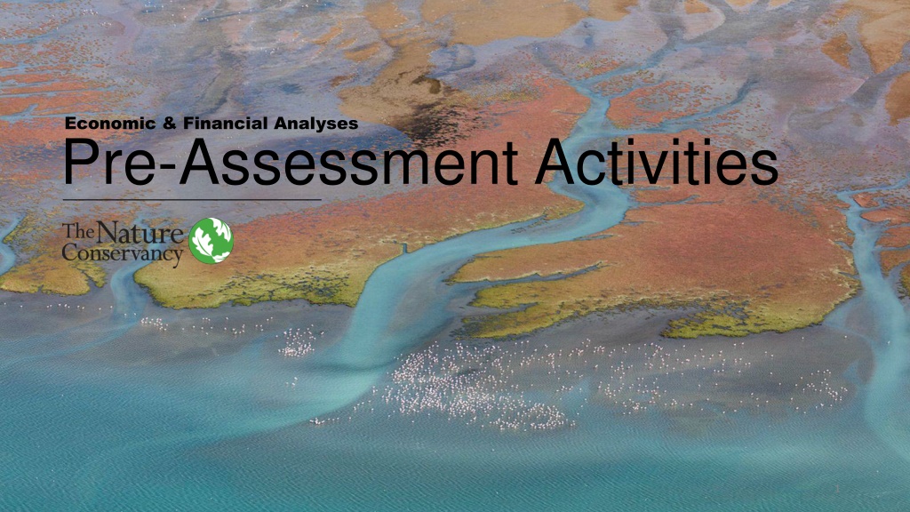
Economic and Financial Analyses Pre-Assessment Activities
Conducting pre-assessment activities like beneficiary mapping is crucial for economic and financial analyses in various projects. The template provided helps in identifying key beneficiaries, their urgency, interest, influence, and willingness to cooperate, along with ecosystem services. An example from Camboriu further illustrates how such assessments can be applied in real-world scenarios, aiding in decision-making and project outcomes.

Download Presentation

Please find below an Image/Link to download the presentation.
The content on the website is provided AS IS for your information and personal use only. It may not be sold, licensed, or shared on other websites without obtaining consent from the author. Download presentation by click this link. If you encounter any issues during the download, it is possible that the publisher has removed the file from their server.
E N D
Presentation Transcript
Economic & Financial Analyses Pre-Assessment Activities 1
Pre-Assessment Activity 1 BENEFICIARY MAPPING
Pre-Assessment Activity #1 BENEFICIARY MAPPING - TEMPLATE Beneficiary Description Urgency / Interest Description Influence Description Willingness to Cooperate Description Ecosystem Service Name 1 Option 1 High, Medium, Low High, Medium, Low 1 5 or ? Name 1 Option 1 High, Medium, Low High, Medium, Low 1 5 or ? Name 2 Option 2 High, Medium, Low High, Medium, Low 1 5 or ? Name 2 Option 2 High, Medium, Low High, Medium, Low 1 5 or ? Name 3 Option 3 High, Medium, Low High, Medium, Low 1 5 or ? Name 3 Option 1 High, Medium, Low High, Medium, Low 1 5 or ? Name 4 Option 1 High, Medium, Low High, Medium, Low 1 5 or ? ETC 3
Pre-Assessment Activity #1 BENEFICIARY MAPPING CAMBORIU EXAMPLE EXAMPLE: CAMBORI Beneficiary Ecosystem Service Urgency / Interest Influence Willingness to Cooperate EMASA water utility in Balne rio Cambori in Santa Caterina state, Brazil Sediment retention, increased water availability during peak demand time High experiencing seasonal water shortages during high tourist season High responsible for providing water to entire basin and making infrastructure investment decisions 5 In 2013, EMASA created the Cambori Payments for Watershed Service (PWS) project w. the beneficiaries listed below Balne rio Cambori municipality Sediment retention, increased water availability during peak demand time High High 4 Cambori municipality Sediment retention, increased water availability during peak demand time High High 4 Cambori Watershed Committee Sediment retention, increased water availability during peak demand time High Low 4 Agesan State Sanitation Regulatory Agency Sediment retention, increased water availability during peak demand time High High 3 ANA National Water Agency Sediment retention, increased water availability during peak demand time High High 3 EPAGRI-CIRAM Santa Caterina State s Environmental Information and Hydrometeorology Center Sediment retention, increased water availability during peak demand time Medium Low 3 Cambori city council Sediment retention, increased water availability during peak demand time High Medium 3 4
Pre-Assessment Activity #1 BENEFICIARY MAPPING Background information: Beneficiaries & interests This table provides a list of watershed actors that may be primary beneficiaries of a water fund, and the typical benefits that those actors tend to care about. These stakeholders may be sources of direct or in-kind funding to implement the eventual watershed implementation plan. Conservation Groundwater & Biodiversity Nutrient Load management Water Yield Watershed Regulation mitigation Sediment alleviation recharge Sector Stakeholder Poverty Water Levels Flood Water allocator (e.g. Dept of Water & Sanitation) X X Water regulator X X X X X Public Environmental authority X X X Local government X X X X X X X X X Water Utility X X X X X Public / Private (depending) Irrigation board X X X Hydropower X X X Agricultural Association X X X X Insurers X X Private Residents & businesses X Private corporations (e.g. food & beverage, chemicals) X X X Non-profits / NGOs X X X International Cooperation International donors X X X 5
Pre-Assessment Activity #1 BENEFICIARY MAPPING Background information: Cooperation willingness matrix Willingness to Cooperate Qualifying Questions Level Is the stakeholder an activist with negative perception of catchment management / water funds/ Negative attitude 1 Has the stakeholder turned down requests for cooperation, but done so politely & with an explanation? 2 Unwilling to cooperate 3 Does the stakeholder react positively to cooperation requests? Opportunistic attitude Has the stakeholder pro-actively created cooperation opportunities? High willingness 4 Has the stakeholder signed a partnership agreement? Has the stakeholder spoken publicly in support of the partnership? Has/will the stakeholder contribute financially? Acts as partner & refers openly to involvement 5 ? Insufficient engagement to categorize cooperation level Unknown 6
Pre-Assessment Activity 2 INTERVENTION MAPPING
Pre-Assessment Activity #2 INTERVENTION MAPPING - TEMPLATE Intervention Description Ecosystem Service Influence Potential Activity 1 Description Ecosystem Service 1 High, Medium, Low Activity 2 Description Ecosystem Service 1 High, Medium, Low Activity 3 Description Ecosystem Service 2 High, Medium, Low Activity 4 Description Ecosystem Service 2 High, Medium, Low Activity 5 Description Ecosystem Service 3 High, Medium, Low Activity 6 Description Ecosystem Service 4 High, Medium, Low Activity 7 Description Ecosystem Service 2 High, Medium, Low 8
Pre-Assessment Activity #2 INTERVENTION MAPPING CAMBORIU EXAMPLE EXAMPLE: CAMBORI Intervention Description Ecosystem Service Influence Potential Restoration of degraded riparian and headwater areas; landowners receive payments as compensation for maintenance & recurrent annual opportunity costs Fencing for cattle exclusion Sediment Retention High, depending on level of degradation Restoration of degraded riparian and headwater areas; landowners receive payments as compensation for maintenance & recurrent annual opportunity costs Planting of native tree seedlings Sediment Retention High, depending on level of degradation Restoration of degraded riparian and headwater areas; landowners receive payments as compensation for maintenance & recurrent annual opportunity costs Enrichment Sediment Retention High, depending on level of degradation Implementation of dirt road best-management practices (e.g. reducing slope; appropriate grading and drainage on slopes; sediment traps) Highly site-dependent, and current data limitations prevent modeling watershed-scale impacts Dirt road mitigation Soil Retention NOTES The PWS program currently implements the first three interventions, and the priority ranking is based on where they are implemented: - HIGH PRIORITY: restoration of degraded riparian and headwater areas - MEDIUM PRIORITY: conservation of relatively intact riparian areas featuring regenerating forest - LOW PRIORITY: restoration of degraded upland forest on steep slopes 9
Pre-Assessment Activity #2 INTERVENTION MAPPING Background information: Intervention options Ecosystem Service Groundwater Water Yield Regulation Intervention Category Mitigation Reduction Sediment recharge Nutrient Category Description & Associated Interventions Water Flood Load Broad term for all conservation activities to protect target ecosystems. Includes preventative measures (e.g. easements, land rentals, fencing out cattle, funding of park guards) to reduce future adverse land use changes. X X X X X X Targeted habitat protection Restoration of native habitat via either active planting (e.g. seedlings) or passive measures (creating suitable enabling environment for regeneration). Revegetation / reforestation X X X X X Restoring natural habitat that act as interface between land and water along the banks of a river, stream, or lake. Often referred to as riparian buffers . X X Riparian restoration Re-establishment of the hydrology, plants and soils of former or degraded wetlands. May also involve installation of new wetlands to offset losses or mimic natural wetland functions X X X X Wetland restoration Reduction in invasive alien plants and/or harmful levels of biomass (e.g. overly dense forests) via selective mechanical removal (e.g. chainsaw, loppers) X X Mechanical thinning Reduction in invasive alien plants and/or harmful levels of biomass (e.g. overly dense forests) via controlled targeted burns. X X Controlled burns Land management changes that reduce harm of agricultural activities. Related measures include: cover crops, precision fertilizer application, irrigation efficiency, agroforestry and contour farming. Agricultural best management practices (BMPs) X X Practices that reduce harm associated with ranching. Related measures include silvopastoral schemes, range structures (e.g. access roads, fencing), land treatment e.g. (range seeding, brush management), & rotational grazing. Ranching best management practices (BMPs) X X 10
Pre-Assessment Activity 3 DEFINITION OF BaU SCENARIO
Pre-Assessment Activity #3 DEFINITION OF BaU SCENARIO - TEMPLATE Consideration Influence Level Other Inputs Value / Note Climate Change High, Medium, Low Timeframe Land-use driver #1 High, Medium, Low Resolution Land-use driver #2 High, Medium, Low Discount rate Ecosystem Service Metric Land-use driver #3 High, Medium, Low Land-use driver #4 High, Medium, Low 12
Pre-Assessment Activity #3 DEFINITION OF BaU SCENARIO CAMBORIU EXAMPLE EXAMPLE: CAMBORI SHOULD BE FULLY DEVELOPED IN CONSULTATION WITH YOUR BENEFICIARY Consideration Influence Level Other Inputs Value / Note Timeframe 2012 2025; estimated benefits until 2045. At this time, the program is expected to have enrolled the lands considered most crucial for sediment control whose owners are interested in participating in the program, and many of the interventions are expected to have attained their full functionality. Pasture to Bare Low Bare to Pasture Medium Resolution 1 meter land-use-land-cover data High-resolution land-use-land-cover data from 2004 to 2012, expected to be representative of the near- to medium-term future Rice to Pasture Medium Forest to Pasture Medium Discount rate 3.85% (Brazil s social discount rate) Discounted all costs and benefits of the PWS program through 2045 to their 2014 present value equivalents. Pasture to Rice Low Ecosystem Service Metric Concentration of total suspended solids (TSS) at treatment plant intake Since the heavier sediment fraction settles in the intake channel prior to reaching the pumping station, the fraction reaching the treatment plant is composed almost exclusively of suspended solids. Pasture to Impervious Medium Pasture to Plantation High Pasture to Forest High High (used to calibrate model) Climate change Land cover change in the study area during 2003-2012; gross. (Kroeger et al, 2017) Predicted 2012-2025 land cover change in study area, assuming no PWS program (Kroeger et al, 2017) 13
Pre-Assessment Activity #3 DEFINITION OF BaU SCENARIO Background information: Landscape drivers Additional Categories Driver Category Examples of Landscape Drivers within Category Supporting infra (roads, airports, etc.) Urban Climate change Urban expansion development Sectoral regulations (e.g. forest codes) Land Zoning code changes Expansion of protected areas Regulatory drivers abandonment River infra (reservoirs/ dams, channelization) Energy infra (renewables, transmission lines) Infrastructure development Spread of invasive plants Oil & gas drilling Dredging Water extraction Extractives Mining Expansion of agricultural and pasture lands Landscape element removal (e.g. wetlands) Upscaling & consolidation of plots Agricultural expansion & intensification Forestry expansion & intensification Timber & wood harvest intensification Plantation conversion Afforestation 14
Pre-Assessment Activity 4 ROI & CO-BENEFITS MAPPING
Pre-Assessment Activity #4 ROI & CO-BENEFITS MAPPING - TEMPLATE Ecosystem Services Metric ROI Type Relevant Co-benefits Metric 1 Type 1 Co-benefit 1 Metric 2 Type 2 Co-benefit 2 Metric 3 Type 3 Co-benefit 3 Metric 4 Type 2 Co-benefit 2 Metric 5 Type 1 Co-benefit 1 16
Pre-Assessment Activity #4 ROI & CO-BENEFITS MAPPING CAMBORIU EXAMPLE ROI METRIC: Detailed Economic Analysis EXAMPLE: CAMBORI Ecosystem Services Metric ROI Calculations Relevant Co-benefits Concentration of total suspended solids (TSS) at treatment plant intake Cost-effectiveness in reducing TSS expressed as average reduction in mg TSS per liter in intake water per million USD invested in the PWS program Biodiversity conservation Peak-season water supply risk Since the heavier sediment fraction settles in the intake channel prior to reaching the pumping station, the fraction reaching the treatment plant is composed almost exclusively of suspended solids. The benefit-cost ratio or monetized ROI Calculated by dividing the monetary value of TSS reductions in municipal water treatment plant intake water by the costs of the PWS program Flood risk reduction 17
Pre-Assessment Activity #4 ROI & CO-BENEFITS MAPPING Background information: Co-benefits options Co-benefit Category Examples within co-benefit category Reduction in vector-borne disease Reduction in heat-deaths Human health Food security Mental health Economic benefit Job / income generation Recreation / tourism value Timber production Non-wood forest products Mitigation / carbon sequestration Adaptation / resiliency Climate change Species & ecosystem protection Pollination Ecological Genetic diversity 18
Pre-Assessment Activity #4 ROI & CO-BENEFITS MAPPING Background information: ROI assessment options The below three categories represent three of the most common valuation methods for calculating the ROI of water infrastructure: Valuation Method Description Example: Flood risk mitigation Increased net farm income due to increased irrigation water availability during growing season Welfare gain (profit; net benefit) Total value of ecosystem service gains associated with economic activity generated by service gains Costs of improved levee system downstream; cost of relocation or flood-proofing of assets at risk; cost of repairing damaged assets; business interruption losses Difference in cost compared to producing the same ecosystem service gain using the next-best alternative (i.e., cost comparison among alternatives providing the same ecosystem service quantity & quality gains) Avoided cost Amount that a population would be willing to pay for the physical benefit within the study area Public willingness to pay to avoid flooding Willingness to pay 19