Canterbury's Water Management Strategy: Policy, Science & Community Collaboration
Canterbury's Water Management Strategy (CWMS) combines policy, science, and community engagement to ensure sustainable water use and management in the region. Established in 2009, CWMS focuses on achieving key targets such as ecosystem health, water efficiency, and biodiversity. The strategy involves various stakeholders at different levels of government to address water quality, quantity, and usage effectively.

Download Presentation

Please find below an Image/Link to download the presentation.
The content on the website is provided AS IS for your information and personal use only. It may not be sold, licensed, or shared on other websites without obtaining consent from the author. Download presentation by click this link. If you encounter any issues during the download, it is possible that the publisher has removed the file from their server.
E N D
Presentation Transcript
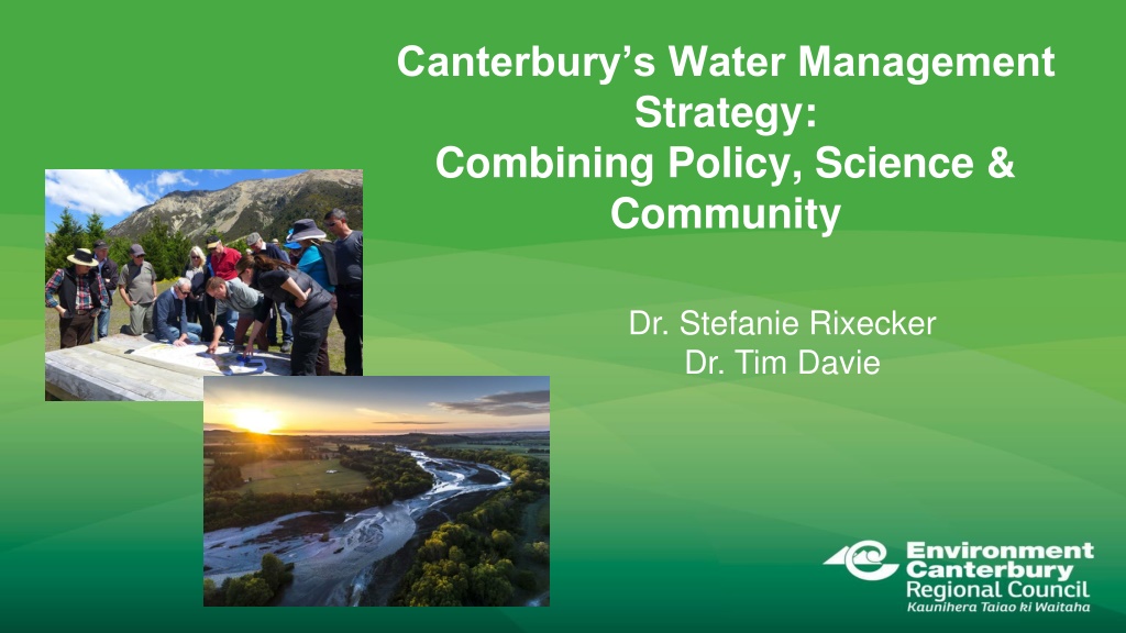
Canterburys Water Management Strategy: Combining Policy, Science & Community Dr. Stefanie Rixecker Dr. Tim Davie
Water management roles & responsibilities Central Govt: develops national policy Regional Councils: manage water quality and quantity Territorial/Unitary Authorities: manage land uses and provide drinking water, stormwater and sewage services
Context for the Canterbury Water Management Strategy (CWMS) 1999-2006 Water availability studies and identification of water storage sites 2008 Canterbury Mayors took ownership and the Canterbury Water Management Strategy was developed 2009-Present Establishing plans and implementing them across the region
SHARED VISION: to enable present and future generations to gain the greatest social, economic, recreational and cultural benefits from our water resources within an environmentally sustainable framework
The 10 CWMS Targets 1. Ecosystem Health and Biodiversity 2. Natural Character of Braided Rivers 3. Recreational and Amenity Opportunities 4. Drinking Water 5. Water Use Efficiency 6. Kaitiakitanga 7. Energy Security and Efficiency 8. Regional and National Economies 9. Irrigated Land Area 10.Environmental Limits
How does the CWMS work? 10 local water management committees Seek solutions for their own zones
ENGAGEMENT STAIRCASE COLLABORATIVE APPROACH EMPOWER COLLABORATE INVOLVE To place final decision- making in hands of stakeholders To partner with stakeholders in the decision, including developing alternatives & preferred solution CONSULT INFORM To provide balanced & objective information to assist stakeholders understand problems, alternatives, solutions To work directly with stakeholders throughout process to ensure concerns & aspirations are understood & considered To obtain feedback on analysis, alternatives, decisions Committee decision-making is by consensus: collaboration amongst committee members & strong engagement critical
RMA plans: setting limits the collaborative way cold halls, sausage rolls and success? Land and Water Regional Plan (2015) and sub-regional plans for each zone (completed or underway) Setting limits the collaborative way is definitely not business as usual Engagement of community to develop water & land solutions before plan even drafted Requires significant time & effort for all New ways of working for all
Plans require good science & data Water quantity Water quality Land use Presented according to: Current state Future scenarios The environment needs to be monitored, trends established & outcomes defined
Plans are not infinite 5 & 10 year intervals Plans must be assessed on a 5 & 10 yearly cycle There is an expectation that data and science models can explain improvements and indicate further actions required How do we secure systematic, credible answers for the next generation?
Ngi Tahu Partnering in CWMS Collaborative Governance Papatipu r nanga are on every zone committee Mana whenua have an interest in all ten target areas Specific kaitiakitanga target Practical environmental restoration projects Ecan now has cultural land management advisors We still have work to do monitoring and properly aligning with Matauranga Maori indicators another modelling challenge?
A real-time, hydrologically connected (3D?!) model for Canterbury Model surface water quantity and quality Model groundwater flow paths, connectivity and change over time; also include GW quality Have the ability to backcast based on prior data to show quarterly, seasonal and annual changes over time Have the ability to show real-time data what is the current state today? based on real-time data, including meteorological information Have the ability to forecast scenarios & options, warnings etc Have the ability to connect w/ non-science data (e.g., consents, water metering) and inform adaptive management conditions Incorporate Matauranga Maori indicators
Re-conceptualising Canterburys water Goal: Combining technology, data science and modelling for improved decision-making Key targets: reduced planning costs, increased certainty and enhanced credibility
Data-modelling-policy continuum: the Selwyn-Waihora example
Preparation for planning Zone committee agreed desired outcomes Thriving communities and sustainable economies High quality and secure supplies of drinking water W hi tapu and mahinga kai are protected and enhanced Te Waihora is a healthy ecosystem Hill-fed waterways support aquatic life and recreation Enhanced indigenous biodiversity across the Zone Derive measures for the outcomes e.g. Drinking Water outcome Average groundwater nitrate-N concentrations in comparison with Maximum Allowable Value (MAV) Exceedances of MAV Bacterial contamination of groundwater Nitrate-N concentrations in surface waters Cost of deepening wells
Using monitoring data and modelling What is the current state? What are the current monitoring data telling us about whether we are currently: supporting aquatic life and recreation Providing high quality drinking water Series of modelled scenarios to explore possible futures Baseline (current & consented land use allowing lag times)
Modelled scenarios Series of scenarios to explore possible futures Baseline (current & consented land use allowing lag times) An extra 30,000ha of irrigated land Achieving a TLI of 6 Full on-farm mitigation (max feasible) Solutions packages (mixture of above) Requires a sophisticated model that can deal with: GW-SW interaction Link to a lake water quality & ecology model Water quality and quantity Land use change across catchment N.B. the first four scenarios were not options About exploring possible futures
Solutions package improved flows Substantial raising of minimum flows for lowland streams in 2025 (15-20% increase) Helped, but not dependent on, Central Plains Water replacing deep groundwater takes with alpine- sourced water takes Water transfer requires that 50% of consent is returned to environment Central Plains water users can t trade water consent
Solutions package lake water quality Root zone nitrogen loss of 4830 tonnes/year from farming This requires a 14% reduction over and above Good Management Practice (30% for dairying, 5% for arable) Not all of this nitrogen will reach the lake Increasing wetlands across catchment will further reduce N (and P) loads 20% reduction with 593 ha of wetland
Solutions package - other Cultural Values Land Management Area Land users close to lake must consider cultural values in Farm Environment Plans Increased flows and reduced N load to keep instream N concs below toxicity limit Greatly improved riparian habitat across catchment Plan reviewed after 10 years
Information available on ECan website under Canterbury Water and Selwyn-Waihora zone