Formation of Lake Michigan Paleo-Shores and the Grand Kankakee Marsh
Lake Michigan's geomorphology and the development of paleo-shores, such as Glenwood Beach, Calumet Beach, and Toleston Beach, are discussed in detail, showcasing the impact of glacial retreat, drainage changes, and isostatic rebound on the formation of these ancient shorelines. The evolution of the landscape over time, leading to the creation of the Grand Kankakee Marsh, is also explored through phases like Two Creeks, Chippewa, and the transition of Toleston Beach into the Great Marsh.

Download Presentation

Please find below an Image/Link to download the presentation.
The content on the website is provided AS IS for your information and personal use only. It may not be sold, licensed, or shared on other websites without obtaining consent from the author. Download presentation by click this link. If you encounter any issues during the download, it is possible that the publisher has removed the file from their server.
E N D
Presentation Transcript
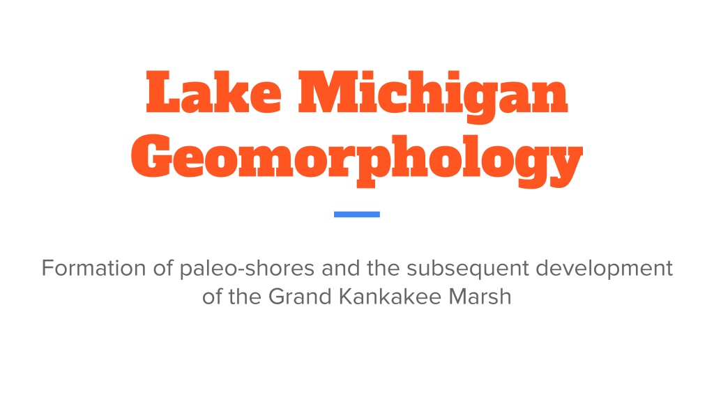
Lake Michigan Geomorphology Formation of paleo-shores and the subsequent development of the Grand Kankakee Marsh
Glenwood Phase 14,000 YBP Deglaciation lead to buildup of meltwater between the receding Michigan Lobe and the moraine left by the glacier s maximum extent. This accumulation in water created the first Lake Michigan shoreline, Glenwood Beach Situated 42,240 feet landward from current Lake Michigan Characterized by rounded pebbles and some sand
Two Creeks Phase 12,000 YBP Glacial retreat into Canada opened drainage outlets leading to the decline in lake levels. 11,800 YPB Glacial readvance cut off drainage outlets in Canada, raising water levels once again and creating Calumet Beach, the second paleo-shore of Lake Michigan. 36, 891 feet landward from current Lake Michigan
Chippewa Phase 10,000 YBP Glacial retreat again opened drainage outlets in Canada. Lake levels were about 100 ft lower than today. 8,300 YBP Isostatic rebound caused a shift in drainage from outlets in Canada to the current Great Lakes drainage, which lead to the increase in lake levels. 6,500 YBP Chippewa Low, lake levels stagnated and fell at this time. Due to decreased water levels, a linear ridge of sand formed, creating the early Toleston Beach. This is the final paleo-shore of Lake Michigan. 5,500 YBP Increased precipitation and decreased evaporation, coupled with isostatic rebound, caused lake levels to surpass today s by 23 ft.
Formation of the Toleston Beach and Great Marsh pt. 1 6,500 YBP The early Toleston Beach migrated landward through time due to storms. These storms topped the ridge of sand that was the early Toleston Beach, trapping water, sand, and gravel in between the ridge and the older Calumet Beach, creating a lagoon. Image created by igs.indiana.edu
Formation of the Toleston Beach and Great Marsh pt. 2 6,500 YBP-4,500 YBP The height of the Toleston Beach increased with additional sand deposition. The shore became too high for water and sediment to continue breaching the ridge. Without the addition of water, the lagoon began to dry into separate ponds. Image created by igs.indiana.edu
Formation of the Toleston Beach and Great Marsh pt. 3 4,500 YBP Lake levels fell significantly, revealing much of the Tolestone shore. Due to the exposure of the shore, winds began actively forming dunes on the Tolestone Beach and dunes also began migrating landward into the Great Marsh. The growing Toleston Beach additionally created a drainage divide in which water flowed into the Great Marsh, enabling diverse vegetation to develop there. 2,000 YBP The Grand Marsh formed into its greatest extent and was only altered after human intervention. Image created by igs.indiana.edu
Reference Thompson, T. (2020). After the Thaw - The Development of Lake Michigan. Retrieved August 22, 2020, from https://igws.indiana.edu/FossilsAndTime/LakeMichigan