Overview of 2014 NCEP Production Suite Review on Global Modeling
The 2014 NCEP Production Suite Review highlighted the significant implementation of the 13 km Global Forecast System (GFS). This major update involved substantial enhancements in resolution, observations, analysis, and physics, impacting various NCEP models and centers. The improved 13 km GFS brought changes such as increased horizontal resolution, extended forecast period, upgraded topography data, new observations assimilation, improved satellite algorithms, and more. Rigorous testing over 32 months demonstrated better forecasts for small-scale features, extratropical synoptic patterns, tropical storm tracks, and Southern Hemisphere predictions.

Download Presentation

Please find below an Image/Link to download the presentation.
The content on the website is provided AS IS for your information and personal use only. It may not be sold, licensed, or shared on other websites without obtaining consent from the author. Download presentation by click this link. If you encounter any issues during the download, it is possible that the publisher has removed the file from their server.
E N D
Presentation Transcript
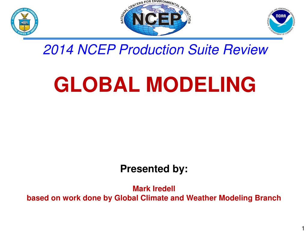
2014 NCEP Production Suite Review GLOBAL MODELING Presented by: Mark Iredell based on work done by Global Climate and Weather Modeling Branch 1
Table of Contents 1) The GFS is going to 13 km! Thank you. Questions? 2) Global plans for 2015+ 2
Chapter 1 The GFS is going to 13 km! 3
The 13 km GFS is the biggest freaking implementation NCEP has ever done. Huge (almost double) resolution increase Also upgrades of observations, analysis, and physics Environmental equivalence structure overhaul Output format and filenames overhaul Almost every NCEP model and center affected Most testing ever (32 months 2011-2014) Burned through multiple supercomputers, SPA leads, post leads, parallel leads, and acting global chiefs 4
13 km GFS: Changes Increase horizontal resolution to 13 km globally (from 23 km) using semi-Lagrangian transport High resolution out to 10 days (from 8 days) Higher resolution topography, improved initial snow conditions, new high resolution daily SST and sea ice analyses New observations (METOP-B, SSM/IS UPP LAS, hourly GOES and EUMETSAT winds) Improved satellite assimilation algorithm, particularly over southern ocean Higher resolution EnKF with better spread due to stochastic physics Improved cloud-radiation interaction, land characteristics, and boundary layer physics New post-processed fields, parallel output in GRIB2 5
13 km GFS: Testing Used both Zeus and WCOSS for parallels Will cycle 32 simulated months covering all seasons when all is said and done Included 4 hurricane seasons 2011-2014 Using new environmental equivalence in the NCO parallel 30-day clock restarted 20 November 2014 6
13 km GFS: Benefits Significantly better resolution, resolving smaller scale features Significantly better extratropical synoptic forecasts (500 mb height anomaly correlations) Significantly and substantially better forecast fits to observed jet level winds Significantly better precipitation forecasts Significantly better tropical storm track and intensity in Atlantic and West Pacific Significantly and substantially better Southern Hemisphere forecasts Many gains are incremental; significance comes from lots of testing 7
Results Merged 2012/2013/2014 see http://www.emc.ncep.noaa.gov/gmb/wx24fy/vsdb/gfs2015/ NH 500-hPa HGT AC SH 500-hPa HGT AC 8
Precipitation Skill Scores, 00Z Cycle Merged 2012/2013/2014 BIAS ETS Improved ETS score and reduced forecast BIAS for all intensity and forecast lead time. 9
12UTC Bimodality? Thick blue: ensemble mean Para: T574L64 (33km) Opr: T254L42 (55km) 20121022 (7.5 days) 18UTC 10
Bimodality ! 00UTC Para: T574L6 4 (33km) Opr: T254L42 (55km) 20121025 (5 days) 06UTC 11
Operational(old algorithm) Parallel (new algorithm) Improved Icing Product in 13 km GFS post processing 12
Chapter 2 Global plans for 2015+ 13
2015 global implementations GEFS (higher resolution/new perturbations) Yuejian Zhu CFS (data assimilation upgrade) Suru Saha WAM (developmental parallel up to 600 km) George Milward NGAC (major aerosol upgrade) GFS (4D hybrid and NEMS) 14
NGAC (NEMS Global Aerosol Component) NCEP has implemented and continues to develop global aerosol forecasting/assimilation capability The aerosol project builds upon extensive collaboration with NOAA labs/centers (NESDIS) and external research community (GSFC, the ICAP working group, WMO SDS-WAS program) Phased implementation Phase 1: Dust-only forecasts (operational) * 5 aerosol species transported with Eulerian numerics (Implemented in Q4FY2012) Phase 2: Forecasts for dust, sulfate, sea salt, and carbonaceous aerosols using NESDIS s GBBPEx smoke emissions (planned FY15 implementation) * 18 aerosol species transported with semi-Lagrangian numerics (Ongoing, Q4FY2015) Phase 3: NGAC with improved aerosol representation and aerosol cloud interaction is included Phase 4: Aerosol analysis using VIIRS AOD (NCEP-NESDIS-GSFC) 15
Q1FY16 GFS NEMS (NOAA Environmental Modeling System) unifying structure, enabling coupling 4D hybrid variational EnKF John Derber Improved moist physics next slides Improved land physics As usual, there will be new observations, optimizations, enhancements, and products 16
Tests for false alarm storms (8 day forecast) Pre- operational GFS (13km) with updated convection schemes Operational GFS (27km) Pre- operational GFS (13km) with weaker convection in updated deep convection scheme Pre- operational GFS (13km) 18
Future global model suite Carry forward current requirements of GFS, GEFS, CFS, NGAC, WAM Keep models on same development path Couple end-to-end seamlessly Share information between models Nest downscale models in NEMS Run ensembles for all models Create reforecast datasets for all models Rejigger jigsaw schedule 19
Acknowledgments Thank you. Questions? 20


")


")


")