Top 10 Maps Created by Sanson d'Abbeville
Explore the top 10 maps by renowned cartographer Sanson d'Abbeville, showcasing his impact on historical mapmaking.
Download Presentation

Please find below an Image/Link to download the presentation.
The content on the website is provided AS IS for your information and personal use only. It may not be sold, licensed, or shared on other websites without obtaining consent from the author. Download presentation by click this link. If you encounter any issues during the download, it is possible that the publisher has removed the file from their server.
E N D
Presentation Transcript
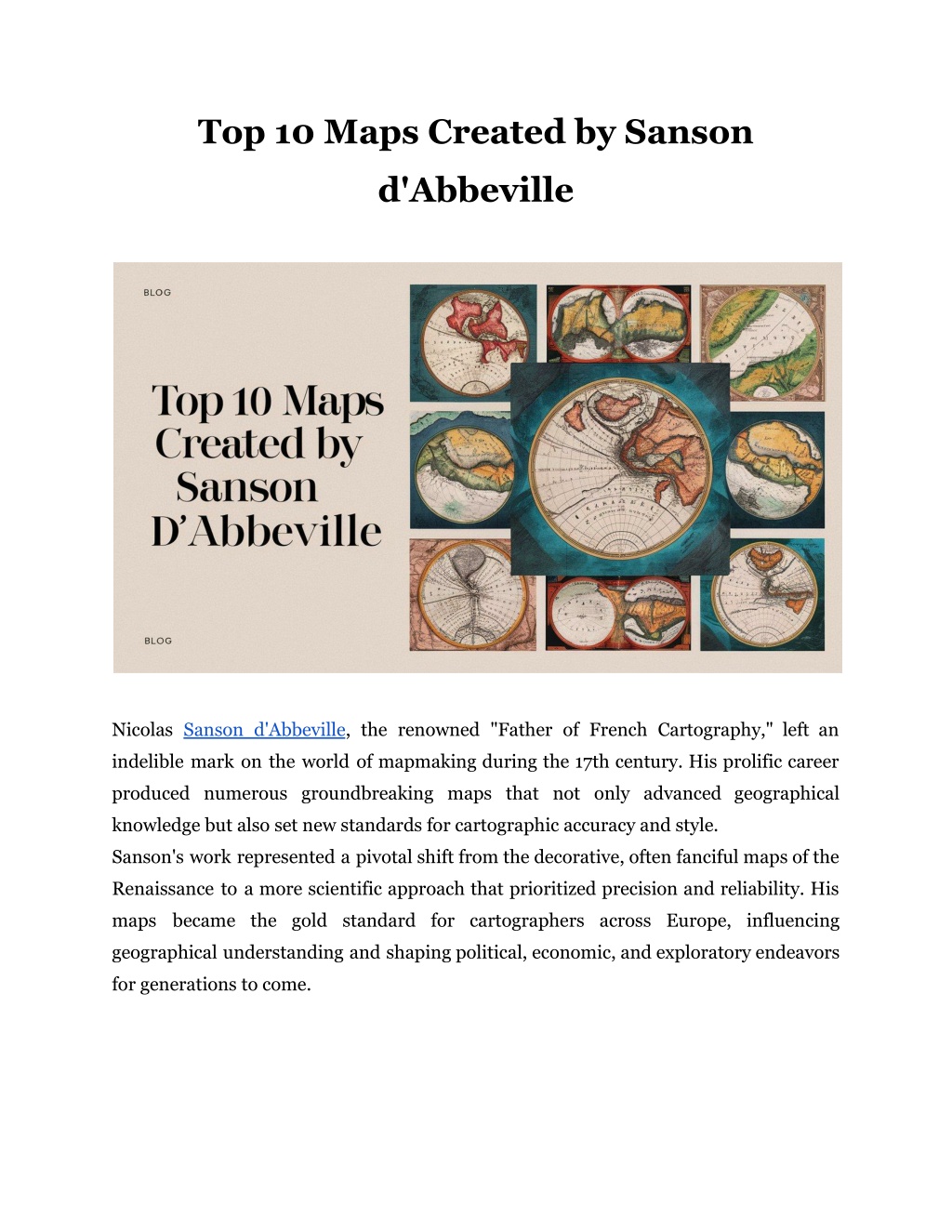
Top 10 Maps Created by Sanson d'Abbeville Nicolas Sanson d'Abbeville, the renowned "Father of French Cartography," left an indelible mark on the world of mapmaking during the 17th century. His prolific career produced numerous groundbreaking maps that not only advanced geographical knowledge but also set new standards for cartographic accuracy and style. Sanson's work represented a pivotal shift from the decorative, often fanciful maps of the Renaissance to a more scientific approach that prioritized precision and reliability. His maps became the gold standard for cartographers across Europe, influencing geographical understanding and shaping political, economic, and exploratory endeavors for generations to come.
Top 10 Maps Created by Sanson d'Abbeville 1. Carte g ographique des abbayes et prieur zde l'ordre de Cluny (1656) It stands out as one of Sanson's most unique creations, focusing on the abbeys and priories of the Cluniac order. It combines religious history with geographical precision The map showcases Sanson's ability to create thematic maps It remains a valuable resource for historians studying medieval monasticism 2. Nova Orbis Terrarum Geographica ac Hydrographic Tabula (1651) Sanson's world map of 1651 is considered one of his masterpieces. It incorporates the latest geographical discoveries of the time The map features a double-hemisphere projection His attention to detail is evident in the intricate coastlines and interior features. This map significantly influenced subsequent world maps and became a standard reference for decades. Read More Articles: What Does HID Prox Key Fob Do? 3. Am rique Septentrionale (1650) This map of North America was groundbreaking for its time, as it shaped European perceptions of the continent for years to come. It was one of the first to depict California as an island, reflecting contemporary beliefs. The map shows a detailed, though speculative, depiction of the Great Lakes It includes early attempts at mapping the Mississippi River 4. Carte particuli re de l'Europe (1648) Sanson's map of Europe showcases his skill in depicting familiar territories with unprecedented accuracy. It features detailed political boundaries
It showcases comprehensive place names and geographical features 5. Asiae nova delineatio (1652) This map of Asia demonstrates Sanson's global reach and comprehensive approach to world geography. It portrays the latest Dutch discoveries in the East Indies It shows a speculative depiction of Japan and Korea His representation of Central Asia was more accurate than many of his contemporaries 6. Africae accurata tabula (1650) Sanson's map of Africa was a significant improvement over previous depictions of the continent. It boasts a more realistic shape of Africa compared to earlier maps The depiction of the Nile's sources reflects the limited knowledge of the time 7. Le Royaume de France (1643) This map of France is considered one of Sanson's most important works. It was commissioned by Cardinal Richelieu It became the standard map of France for many years 8. Britannia, or England, Wales, Scotland and Ireland (1658) Sanson's map of the British Isles showcases his attention to detail even in areas outside his native France. The map features accurate coastlines, a hallmark of Sanson's work It reflects the latest geographical knowledge of the British Isles 9. Carte de la Terre Sainte (1662) This map of the Holy Land demonstrates Sanson's skill in historical cartography. It combines biblical geography with contemporary knowledge The map includes detailed annotations of biblical sites It became a reference for religious scholars and pilgrims Read More Articles: How Does the Smart Card Work?
10. Cartes g n rales de toutes les parties du monde (1654) While not a single map, this atlas represents the culmination of Sanson's cartographic work. It portrays updated versions of his world and continental maps The atlas set new standards for geographical comprehensiveness It solidified his reputation as the leading cartographer of his time The Significance of Sanson's Maps Sanson's maps were revolutionary for several reasons: Accuracy: He prioritized geographical precision over decorative elements. Comprehensiveness: His maps often included the latest discoveries and explorations. Clarity: Sanson's style emphasized readability and ease of use. Influence: His work shaped cartographic standards for generations. His approach to mapmaking was scientific and methodical. He relied on the most up-to-date sources available, including explorers' accounts, astronomical observations, and earlier maps. This commitment to accuracy and detail set his work apart from many of his contemporaries. The Legacy of Sanson's Cartography The impact of his maps extended far beyond their initial publication since they served as primary references for subsequent cartographers. Sanson's work contributed to the standardization of geographical names and boundaries. Moreover, his maps played a crucial role in shaping European understanding of world geography. His cartographic legacy was carried on by his sons, Guillaume and Adrien, who continued to produce maps under the Sanson name. This family dynasty helped cement France's position as the leading center of cartography in the late 17th and early 18th centuries.
Sanson's Enduring Cartographic Legacy Nicolas Sanson d'Abbeville's top 10 maps represent not just the pinnacle of 17th-century cartography, but a fundamental shift in how maps were created and used. In our digital age, where maps are readily available at our fingertips, Sanson's work continues to inspire and inform. It stands as a testament to the enduring power of maps to shape our understanding of the world and our place in it. Explore the world through Sanson's eyes visit Arader Books today to browse our collection of Nicolas Sanson d'Abbeville maps and bring the art of 17th-century cartography into your home or office! Site Article: Top 10 Maps Created by Sanson d'Abbeville

