The Historical Significance of “Civitates Orbis Terrarum”
Explore the rich historical significance of "Civitates Orbis Terrarum" and its impact on urban cartography.n
Download Presentation

Please find below an Image/Link to download the presentation.
The content on the website is provided AS IS for your information and personal use only. It may not be sold, licensed, or shared on other websites without obtaining consent from the author. Download presentation by click this link. If you encounter any issues during the download, it is possible that the publisher has removed the file from their server.
E N D
Presentation Transcript
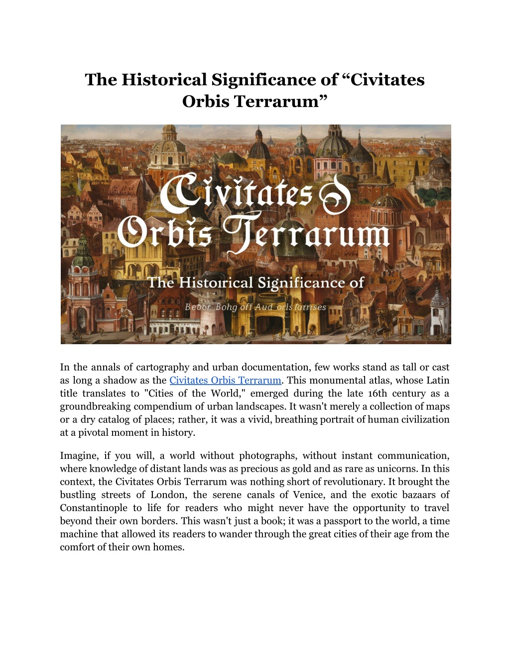
The Historical Significance of Civitates Orbis Terrarum In the annals of cartography and urban documentation, few works stand as tall or cast as long a shadow as the Civitates Orbis Terrarum. This monumental atlas, whose Latin title translates to "Cities of the World," emerged during the late 16th century as a groundbreaking compendium of urban landscapes. It wasn't merely a collection of maps or a dry catalog of places; rather, it was a vivid, breathing portrait of human civilization at a pivotal moment in history. Imagine, if you will, a world without photographs, without instant communication, where knowledge of distant lands was as precious as gold and as rare as unicorns. In this context, the Civitates Orbis Terrarum was nothing short of revolutionary. It brought the bustling streets of London, the serene canals of Venice, and the exotic bazaars of Constantinople to life for readers who might never have the opportunity to travel beyond their own borders. This wasn't just a book; it was a passport to the world, a time machine that allowed its readers to wander through the great cities of their age from the comfort of their own homes.
A Window to a Changing World As we delve into the pages of this remarkable work by Frans Hogenberg and Georg Braun, we are transported to a world on the cusp of great change. The Civitates Orbis Terrarum captured this pivotal moment, freezing in time the architectural marvels, the daily lives of citizens, and the natural surroundings that defined these urban spaces. Its significance extends far beyond its role as a historical snapshot, representing a leap forward in various fields: Renaissance in Full Bloom: The atlas emerged during a period of cultural rebirth and innovation across Europe. Expanding Horizons: It coincided with an era of exploration, as known boundaries of the globe were rapidly expanding. Urban Evolution: The work documented cities as they evolved into the complex metropolises we recognize today. Cartographic Advancement: It marked a significant leap forward in the art and science of mapmaking. Urban Studies Pioneer: The atlas laid the groundwork for modern urban studies and planning. Democratization of Knowledge: It made information about distant cities accessible to a wider audience. Influence on Perception: The work shaped how people viewed cities and their place in the world. Architectural Inspiration: It influenced urban planning and architectural designs for generations. Cultural Time Capsule: The atlas preserves a snapshot of 16th and early 17th-century urban life and culture. Read More Articles: How Many Bits is My HID Card? Key Aspects of the Civitates Orbis Terrarum Creation and Authors: The atlas was the brainchild of Georg Braun, a Catholic cleric, and largely engraved, giving rise to the commonly used name Braun Hogenberg Civitates Orbis Terrarum. Scope: Published between 1572 and 1617, it contained 546 prospects, bird's-eye views, and map views of cities from around the known world. Artistic Merit: The engravings were not just accurate but also aesthetically pleasing, often including detailed foreground elements that depicted local customs and dress.
Cultural Significance: It provided invaluable insights into the architecture, customs, and daily life of the 16th and early 17th centuries. Rarity: Original copies are highly prized by collectors and institutions for their historical and artistic value. The Impact on Cartography and Urban Studies The Civitates Orbis Terrarum revolutionized the way cities were depicted and understood. Its influence can be summarized in the following table: Aspect Impact Accuracy Set new standards for precision in city depictions Perspective Popularized bird's-eye views of urban landscapes Cultural Detail Included elements of daily life, enhancing understanding of diverse societies Global Scope Provided a comprehensive view of urban centers across continents Accessibility Made urban knowledge available to a wider audience Artistic Influence Inspired future cartographers, artists, and urban planners Legacy and Continuing Relevance It continues to captivate modern audiences, much as it did when it first appeared over four centuries ago. Its detailed engravings offer a unique glimpse into a world both familiar and foreign, where the foundations of our modern cities were just beginning to take shape. The work's attention to detail extends beyond mere buildings and streets; it captures the essence of urban life, from the bustling markets to the quiet corners where citizens go about their daily routines. Today, it serves as: A valuable resource for historians studying urban development and social history. An inspiration for modern urban planners and architects. A treasure trove for art historians examining Renaissance and Early Modern artistic techniques. A focal point for discussions on early globalization and cultural exchange. A benchmark for evaluating changes in urban landscapes over centuries. Read More Articles: What Size is a Standard HID Card?
A Precursor to Modern Urban Visualization In many ways, the Civitates Orbis Terrarum can be seen as an early predecessor to modern urban photography or even virtual city tours. Just as we might now use Google Street View to explore a distant city, 16th-century readers could pore over these intricate engravings to understand the layout and character of far-off places. This comparison underscores the timeless human desire to understand and connect with the wider world, a desire that transcends technological boundaries. Modern Applications and Digital Revival Its legacy lives on in unexpected ways. Modern urban planners and architects still draw inspiration from its pages, studying the organic growth patterns and public spaces of medieval and Renaissance cities. Digital humanities projects have breathed new life into the work, making it accessible to a global audience and allowing for new forms of analysis and appreciation. Takeaway The Civitates Orbis Terrarum serves as a valuable historical document, preserving images of cities that have since been dramatically altered by time, war, or development. In an age of rapid urbanization and global connectivity, it stands as a poignant reminder of our shared urban history and the enduring allure of city life. At Arader Books, we don't just sell books and prints we offer windows to worlds both past and present, each as rich and diverse as the urban tapestry captured by Frans Hogenberg's careful hand. Just as the Civitates Orbis Terrarum brought the cities of the world to life for 16th-century readers, we bring the treasures of cartography and natural history to modern collectors and enthusiasts. From rare maps that rival the beauty of Braun and Hogenberg's masterpiece to botanical prints as vibrant as any urban landscape, our collection offers a journey through time and space. Site Article: The Historical Significance of Civitates Orbis Terrarum


