TEMPO Validation Activities and Methods Overview
Explore the validation activities, methods, and tools utilized by Mike Newchurch and the TEMPO validation team in their efforts to validate baseline products like L-1b radiances, NO2, O3, and more. Discover the timeline for detailed validation planning and the development of new validation strategies for the unique features of TEMPO.

Download Presentation

Please find below an Image/Link to download the presentation.
The content on the website is provided AS IS for your information and personal use only. It may not be sold, licensed, or shared on other websites without obtaining consent from the author. If you encounter any issues during the download, it is possible that the publisher has removed the file from their server.
You are allowed to download the files provided on this website for personal or commercial use, subject to the condition that they are used lawfully. All files are the property of their respective owners.
The content on the website is provided AS IS for your information and personal use only. It may not be sold, licensed, or shared on other websites without obtaining consent from the author.
E N D
Presentation Transcript
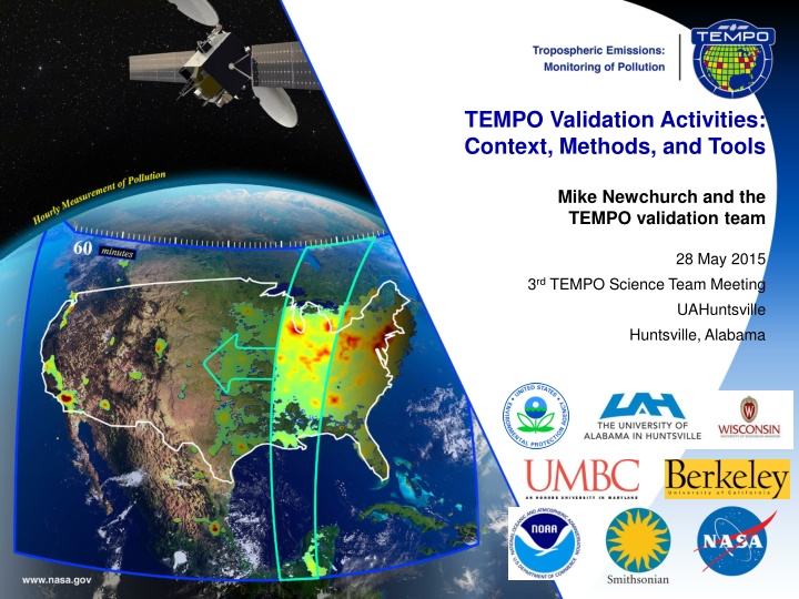
TEMPO Validation Activities: Context, Methods, and Tools Mike Newchurch and the TEMPO validation team 28 May 2015 3rd TEMPO Science Team Meeting UAHuntsville Huntsville, Alabama
Context Objective: Validate Baseline products: L-1b radiances, NO2, O3, SO2, C2H2O2, HCHO, AOD, AAOD, Cloud Fraction, Cloud-top Pressure, Geo-location accuracy Development uncertainty estimates of PBL mixing-ratios Establish data credibility within the Air-Quality Community Mindset: Hourly 5x5 km observations. Think high-resolution temporal and spatial evolution Work to overcome limited vertical resolution Details: PLRA table Products and schedule and GSICS: Dave Flittner Federated activities (leverage PAMS/Ncore/Pandora/TOLNet/RASS/CL-51/et al.): Jim Szykman Modeled/measured radiances: Brad Pierce Pandora columns and vertical information: Jay Herman Aircraft campaigns: Jim Crawford ACAM/GCAS/Geo-TASO: Liu/Abad A/C validation of OMI H2CO : Abad Students: Margaret Pippin Validation plans: H2CO: Jim Szykman/Herman NO2: Ron Cohen O3: Mike Newchurch International collaborations/intercomparisons: Newchurch/Al-Saadi/Liu/Abad Other ideas and draft plan 3/21/2025 Document Title 2
Methods and Tools Compare Radiances Compare Products: ground-based, balloon-borne, sub-orbital, and satellite remotely sensed Compute column/column biases/variances, convolve higher-resolution profile measurements, compute bias/variance/spatial gradients captured, compute fraction of temporal evolution captured. Compare L2NRT with L2 normal delivery products Compare L3 with correlative measurements and climatologies Develop and apply new validation strategies capable of proving the unique new features of TEMPO--high spatial and temporal resolution a) Observe high gradients at coastlines and urban boundaries B) b) Compare to high-spatial-resolution measurements such as BEACON c) Use diurnally constant emissions, such as occur at some large power plants d) Averaging kernels and vertical sensitivity, correlations, error covariances, cascading scales effects, patterns, information content (eigenanalyses/PCA, DFS) with TOLNet lidars Potential Phase-E platforms: ACAM/GCAS, GeoTASO, HSRL, TOLNet & MPLNET lidars, UV shadowband radiometers, AERONet, NDACC, AQ networks (e.g., NASA LaRC CAPABLE, USEPA AIRS, NAPS/Canada, Mexico), NCore, Pandora, ozonesondes, IMPROVE (PM2.5), NPP, GOME-2, TROPOMI, GOES-R. Use existing AQ Network infrastructure and supplement with some additional instruments. Foster Early Adopters Program (EAP) with SPoRT, GOES-R, et al. 3/21/2025 Document Title 3
Timeline 1. Detailed validation plan developed in Phase D (after KDP-D and CDR. ~7/2015. Host selected ~7/2015) 2. Validation campaigns conducted from commissioning until end of Phase E. 3. Milestones 1. L-24M to L (~1 year from now?) 1. Coordinate ground-based assets operation and access 2. Develop tools for intercomparisons 3. Exercise forward models 4. Create and exercise Level 1 and Level 2 datasets 5. Implement validation tools 2. L+3M to L+15M 1. Perform validation measurements (see PLRA text) 4. Intensive Campaigns (best effort) 1. L+3M to L+15M: TOLNet, BEACON, Pandora, O3, NO2, H2CO, sondes @ home locations 2. L+3M to L+15M: TOLNet, BEACON, Pandora, sondes @ UC Berkeley (best effort) 3. L+3M to L+15M: Aircraft (ACAM/GCAS, Geo-TASO) @ CA 3/21/2025 Document Title 4