Northern Utah GIS Workforce Survey 2014 Results Overview
The Northern Utah GIS Workforce Needs Survey Results for 2014 provide insights into the demographics, industry experience, survey respondents by county in Utah, and educational requirements for GIS/geospatial technicians. The survey highlights the distribution of position titles, length of experience, number of survey respondents by county, and the total number of GIS/geospatial technicians in different departments. It also outlines the departments where respondents work and the minimum education requirements for GIS/geospatial technicians.

Download Presentation

Please find below an Image/Link to download the presentation.
The content on the website is provided AS IS for your information and personal use only. It may not be sold, licensed, or shared on other websites without obtaining consent from the author.If you encounter any issues during the download, it is possible that the publisher has removed the file from their server.
You are allowed to download the files provided on this website for personal or commercial use, subject to the condition that they are used lawfully. All files are the property of their respective owners.
The content on the website is provided AS IS for your information and personal use only. It may not be sold, licensed, or shared on other websites without obtaining consent from the author.
E N D
Presentation Transcript
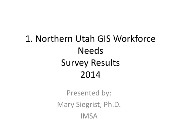
1. Northern Utah GIS Workforce Needs Survey Results 2014 Presented by: Mary Siegrist, Ph.D. IMSA
Demographics Position Titles: GIS Manager: 3 GIS Analyst: 2 GIS Database Administrator: 1 GIS/GPS Specialist: 1 GIS Web Designer: 1 Application Development & Technology Manager: 1 Associate Director: 1 Assistant City Administrator: 1
NUGTEP: Northern Utah Workforce: GIS Industry Experience 2014 Survey Results N=11 3.5 3 2.5 # of Respondents 2 1.5 1 0.5 0 3 72 84 96 114 160 240 288 Length of Experience by Months
NUGTEP Number of Survey Respondents by County in State of Utah 2014 N=11 3.5 3 2.5 # of Respondents 2 1.5 1 0.5 0 Weber Morgan Cache Davis Salt Lake Utah County in State of Utah
GIS/GEOSPATIAL TECHNICIAN
Total Number of GIS/Geospatial Technicians in Department # of Entry-level Technicians in Departments Weber County: 0 Morgan: 1 Cache: 4 Davis: 0 Salt Lake: 2 Utah: 3 # of Technician in Departments Weber County: 1 Morgan: 0 Cache: 5 Davis: 0 Salt Lake: 2 Utah: 4
Respondents Departments Public Works Remote sensing/GIS Laboratory Information Systems Network Planning GIS Division
GIS/Geospatial Technician Minimum Education Requirements Currently Minimum Education Level: If Hiring Today Minimum Education Level: 2-year Community College with GIS-focused degree 4-year College/University with GIS-focused degree High School with GIS Vocational/Technical School 2-year Community College with and without GIS- focused degree 4-year College/University with and without GIS- focused degree Military
Entry-Level GIS/Geospatial Technician Proficiencies (DACUM Chart) All of the DACUM chart tasks were selected, except for Research available data, and COGO legal descriptions for all counties
DACUM GIS Technician Proficiencies Level of Importance in 5 10 years Decrease in Importance Increase in Importance Research available data COGO legal descriptions Geocode data Determine data compatibility Perform data conversions Populate GIS feature attributes Create metadata Collect field location data via GPS Collect field attribute data Georeference data Edit GIS data Convert between data formats Update metadata Create scripts Conduct Geoprocessing Perform queries Create maps Create analysis reports Create charts Create tables Generate mailing labels Distribute digital Products Create map templates Archive/retrieve data Distribute data according to organizational policy Develop project timeline/schedule Participate in GIS user groups Perform heads-up digitization Geocode data Create metadata Collect field location data via GPS Collect field attribute data Scan hard copy data Georeference digital imagery Rectify images Update metadata Create maps Generate mailing labels Create graphic item Distribute hard copy products Create map templates Archive/retrieve data Participate in GIS user groups Acquire professional credentials
Top Three Technical Characteristics (Compilation of participants' answers) Base set of skills like knowing how to navigate the software Attention to detail Willingness and ability to learn new things Knowledge of the organization's mission/purpose ArcGIS/ESRI experience Data entry/management Maintaining good credible data and having established effective reiterative processes built into their work (Or recognize when one needs to be established) Proficiency in creating good maps that display information Basic understanding of how GIS can be integrated with other programs used
Basic Programming/language/software Employers expect entry-level GIS Technicians to have the following skills at time of hire: Basic model builder and field calculation skills I don't expect them to know python or something like that. JavaScript--not essential, but helpful
Are entry-level GIS Technicians ready for the workforce in Utah? A four year degree is not a guarantee that they have the actual hands on experience necessary to do the GIS work. Usually the vocational/technical or 2 year certificate GIS professionals WITH work experience are competent. Anyone we have hired with under a 4 year degree, without a definite minor emphasis or full major in GIS has seemed to be ill prepared for what we need. High school graduates, without further education, would generally not have the workplace experience needed to help support an organization with GIS. All respondents felt strongly that High School with GIS was NOT ready for the workplace
New Skills 5-10 years from now A physical relationship and understanding of what they are truly doing. For instance an AutoCAD technician will be far better off having had experience with technical drawing by hand. Do not lose the "old-way" and reasons of doing things on the computer. Mobile GIS Some application development/programming, internet mapping skills.
Total Number of GIS/Geospatial Analysts in Department # of Entry-level Analysts in Departments Weber County: 0 Morgan: 0 Cache: 0 Davis: 0 Salt Lake: 0 Utah: 0 # of Analysts in Departments Weber County: 0 Morgan: 0 Cache: 0 Davis: 3 Salt Lake: 9 Utah: 0 All Analysts for this Survey Work in Information Technology Departments
GIS/Geospatial Analyst Minimum Education Requirements If Hiring Today Minimum Education Level: 4-year College/University with GIS-focused degree 4-year College/University without GIS-focused degree Currently Minimum Education Level: 4-year College/University with GIS-focused degree 4-year College/University without GIS-focused degree
Entry-Level GIS/Geospatial Analyst Proficiencies (DACUM Chart) All of the DACUM chart tasks were selected for all counties
DACUM GIS Analyst Proficiencies Level of Importance in 5 10 years Increase in Importance All DACUM items except: Georeference digital imagery Rectify images Develop software applications Customize commercial software Create map templates Build help files Backup/restore data Write technical guides Decrease in Importance Define data requirements Define feature relationships/behaviors Perform data conversions Create metadata Georeference data Georeference digital imagery Rectify maps Conduct database performance tuning Create scripts Perform queries Develop software applications Customize commercial software Create map templates QA/QC software applications Back-up/restore data Install software Correspond with others Write informational reports Prepare cost estimates Maintain equipment/supplies Maintain contracts Participate in public relations activities Participate in public relation activities Participate in professional conferences
Top Three Technical Characteristics (Compilation of participants' answers) Establish and maintain good reiterative processes and keeping of good data Taking data and analyzing trends and displaying it for easy understanding Experience using GIS software Willing to learn Desire to seek out data
Basic Programming/language/software Employers expect entry-level GIS Analysts to have enough programming experience to create the necessary display of information and analysis. Enough programming to integrate GIS system with other programs organization uses.
Are entry-level GIS Analysts ready for the workforce in Utah? Yes to 2-year community college, 4-year college/university with GIS-focused degrees, and Military No for High School with GIS and Vocational/Technical Schools
New Skills 5-10 years from now Some database administration, Some programming
Additional Comments Not all of the organizations that have to adapt GIS technology have the size or budget to hire a specialist. Non GIS specialist training is what would benefit us. I believe that a broad-based intro to GIS would include education in working not only with ESRI software, but also some related disciplines such as survey techniques, field data collection, GPS, image processing/analysis, etc. I'd highly encourage the advanced GIS curriculum to be based on real-world industry--GIS for environmental, GIS for business, GIS for government, GIS for utilities, etc.