Marine Cadastre as an Application of MSDI
Marine Cadastre is discussed as an application of Marine Spatial Data Infrastructure (MSDI) in this content. It explores what an MSDI could and should be, emphasizing spatial data management systems' crucial role in providing access to information and analysis products. The discussion covers the pillars of MSDI realization, including data and metadata management, technology standards, and policy governance. It also highlights the management structure and responsibilities of MSDI entities. The importance of Hydrographic Data Management (HDM) and its components like Geoportal and software tools supporting MSDI are elucidated, emphasizing the collaborative efforts required for maintaining authoritative coastline information.
Download Presentation

Please find below an Image/Link to download the presentation.
The content on the website is provided AS IS for your information and personal use only. It may not be sold, licensed, or shared on other websites without obtaining consent from the author.If you encounter any issues during the download, it is possible that the publisher has removed the file from their server.
You are allowed to download the files provided on this website for personal or commercial use, subject to the condition that they are used lawfully. All files are the property of their respective owners.
The content on the website is provided AS IS for your information and personal use only. It may not be sold, licensed, or shared on other websites without obtaining consent from the author.
E N D
Presentation Transcript
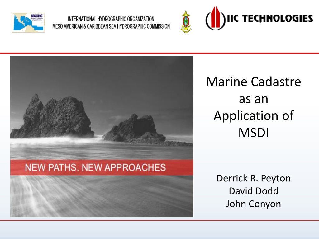
Marine Cadastre as an Application of MSDI Derrick R. Peyton David Dodd John Conyon
MSDI/MC Discussion Marine Spatial Data Infrastructure What an MSDI could (should?) be What an MSDI would likely be in more practical terms Marine Cadastre 2
Hydro International, Sept 27, 2016 its no longer about charts and maps only it s now all about data and data access 3
What is an MSDI Spatial data management system provides Interdepartmental access to information Global access to information Easy access to information for other uses Analysis Products etc. Enabler of Blue Economy NOT a data storage system NOT a product storage system 4
Realization of an MSDI Four Pillars Data and Metadata The data exists Information System and Technology Technology exists (e.g. SLGO) Standards (ISO, HNAP, S100) Some in place, some coming slow but sure Policy and Governance Getting all parties to the table and to agree 5
MSDI Management Official Authority maintains management responsibility of their own databases and metadata Conforming to MSDI standards MSDI Overseer Hydrographic Office MSDI Management Group HO lead Multi-departmental group MSDI management entity maintains links and monitors database updates by monitoring metadata 6
Hydrographic Data Management (HDM) Geoportal (supporting MSDI) QA /QC & Workflow Management Software Bathymetric Database S102 Hydrographic Database S101 Oceanographic Database S1?? 8
Coastline example Many groups require coastline information Oceanographers, environment managers, mappers, HOs, land cadastre, marine cadastre, etc. Users should collaborate to create authoritative coastline High water, low water (CD), MSL, etc. Official authority(ies) responsible for maintaining the coastline features, with input from users Updates/changes MSDI management team (i.e. HO) responsible for Ensuring information correctly coded with proper metadata Maintaining the link to the data and metadata Updates must be reflected in the metadata Monitored by the MSDI management system 9
Maritime Boundary Component of MC High Water Boundary End of private ownership Start of governing body stewardship In Canada: Federal, Provincial, Aboriginal, etc. Low Water Boundary Used to derive baseline for UNCLOS Territorial Sea Country has sovereignty Other countries have right of innocent passage Exclusive Economic Zone Country has sovereign right to manage renewable resources Country has sovereign right to manage non-renewable resources 10
Ideal MSDI ??? Products and Metadata DB Data and Metadata DB MSDI Management System eNav Chart Source MSDI Tracking Web Interface Substrate Bathy DB Charts DB/Product Update Notification Imagery DB CZM Power Users Boundaries Models Data Entry MC and RRR Registration Coastline Information Validation Casual Users Query Ocean DB User Built Product Development Downloads 11
What is a Marine Cadastre (MC)? A system of registries that allows for the systematic recording of all recognized legal rights, restrictions and responsibilities (RRR) in the offshore area Answers questions Who holds the rights, responsibilities and restrictions? What is the nature of these interests? Where are the interests located? M Bala 2016 12
MC Administration RRR administered by proper authority Through legislation Oil and Gas Fisheries Location, Depth, Season, Duration, Fishing License Location and duration of exploration or production 13
Information Integration M Bala 2016 14
MSDI Management System Components - MC MSDI Management System Web Interface Metadata Data Bases MSDI Tracking eNav Portal Chart Production Marine Cadastre Format and Datum Transformation DB Management 15
Marine Cadastre Schematic MC Data Base MDSI Management System Web Interface Coastlines Fisheries Shipping Routes MC MSDI Tracking Boundaries MPAs Heritage Oil & Gas Infrastructure Registration of Rights, Restrictions, Responsibilities Recognised Authority Granting RRR 3D + Time DB/MC update Notification Military 16
Questions Should the HO be the MSDI manager? Should all MSDI data be S-100 compliant? Should the MC component of the MSDI be the official MC registry? Should web viewer render source data for display only (generalize, reformat and re-project), or access a pre- transformed representation? Who should MSDI serve? Professional (power) users only (interdepartmental information exchange)? Everyone? Should MSDI manage products or only data? Should MSDI provide datum and format translations? (i.e. to s-100 series for eNav etc.) 17
Take Home Message Access to information should be easy Key to effective MSDI is the Metadata Metadata MUST be Standardized (ISO 19115, HNAP) Comprehensive Up-to-date Monitored by the MSDI and any changes reported to users Metadata standards must be strictly adhered to Information entered into the Metadata records must be reasonable Unknown should be used only if the information is truly unknown 18
Future Thinking Ontology in Ancient Greece Metaphysics of Nature, Reality and the Existence of Beings Ontology Today To share common understanding of the structure of information among people To enable reuse of domain knowledge To separate domain knowledge from the operational knowledge Enable Eternal Return 19
