Hydrographic Development Progress in Papua New Guinea
The National Maritime Safety Authority (NMSA) in Papua New Guinea has made significant strides in hydrographic development, including expanding staff, initiating capacity-building programs, conducting surveys, charting efforts, and enhancing Maritime Safety Information (MSI) capabilities. Challenges remain in optimizing available programs to maximize benefits.

Download Presentation

Please find below an Image/Link to download the presentation.
The content on the website is provided AS IS for your information and personal use only. It may not be sold, licensed, or shared on other websites without obtaining consent from the author.If you encounter any issues during the download, it is possible that the publisher has removed the file from their server.
You are allowed to download the files provided on this website for personal or commercial use, subject to the condition that they are used lawfully. All files are the property of their respective owners.
The content on the website is provided AS IS for your information and personal use only. It may not be sold, licensed, or shared on other websites without obtaining consent from the author.
E N D
Presentation Transcript
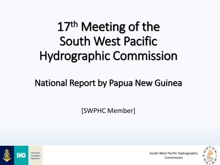
17 17th thMeeting of the Meeting of the South West Pacific South West Pacific Hydrographic Commission Hydrographic Commission National Report by Papua New Guinea National Report by Papua New Guinea [SWPHC Member] South West Pacific Hydrographic Commission
Main achievements during the year Hydrographic Development Plan o NMSA management approves revised organization structure recognizing hydrography with increase of hydrographic staff to 7 o Proposed development plan for hydrography commenced with visits to the AHO and AMSA in August 2019 by 3 senior officials. o The Plan aims to support governments National Transport Strategy/Medium Term Transport Plan o Further consultation underway with stakeholders and industry partners in 2020 to improve hydrographic governance. o Australia-Papua New Guinea Transport Sector Support Program (TSSP) providing support to hydrographic capacity building South West Pacific Hydrographic Commission 2
Main achievements during the year Capacity Building NMSA sponsored Training One officer attended Australian Tides Workshop in May 2019 in Adelaide, Australia. One officer attend IALA Level 1 AtoN Manager Course in China, Sep 2019 External Funded Trainings Commonwealth Marine Economies (CME) Programme funded two officers to attend the Hydrographic Awareness Seminar, hosted by UKHO, 11-15 Nov 2019. South West Pacific Hydrographic Commission 3
Progress on surveys, charting and MSI Surveys: o All Fugro surveys under ADB program have been submitted to AHO and incorporated into approx. 30 charts o Kitava Island surveyed by RAN Survey Motor Launch MERMAID upon request by NMSA. o NMSA contracted service (EOMAP) for Satellite Derived Bathymetry survey of Nukumanu Islands and Tauu Islands. These remote islands located outside the current chart series form part of the territorial sea baselines. Charting: o The AHO commenced rebranding of PNG charts from AUSxxx prefix to PNGxxx , early 2019. As of end December a total 29 new edition paper charts have been published out of 78. MSI: o PNG lies within NAVAREA X. NMSA as national coordinator has established MRCC and working closely with AMSA to improve MSI capabilities and deliver long range MSI capability via NAVAREA X Coordinator South West Pacific Hydrographic Commission 4
Main challenges With various programmes available to support hydrography, NMSA needs to properly coordinate how best to utilize these opportunities maximise benefit. South West Pacific Hydrographic Commission 5
17 17th th Meeting of the Meeting of the South West Pacific South West Pacific Hydrographic Commission Hydrographic Commission National Report by Papua New Guinea National Report by Papua New Guinea THANK YOU South West Pacific Hydrographic Commission