Ecological Indicators for Coastal Estuary Habitat Analysis
Explore conceptual frameworks and models for developing indicator lists in the coastal estuary habitats of Washington, focusing on key components like intertidal zones, shorebirds, fishes, and more. Dive into the connections within food webs, physical drivers, climate change impacts, and weather elements influencing these ecosystems.
Download Presentation

Please find below an Image/Link to download the presentation.
The content on the website is provided AS IS for your information and personal use only. It may not be sold, licensed, or shared on other websites without obtaining consent from the author.If you encounter any issues during the download, it is possible that the publisher has removed the file from their server.
You are allowed to download the files provided on this website for personal or commercial use, subject to the condition that they are used lawfully. All files are the property of their respective owners.
The content on the website is provided AS IS for your information and personal use only. It may not be sold, licensed, or shared on other websites without obtaining consent from the author.
E N D
Presentation Transcript
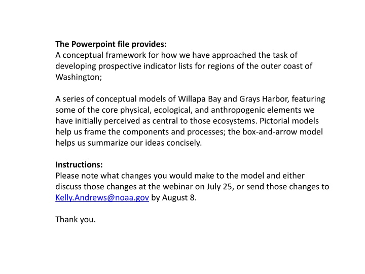
The Powerpoint file provides: A conceptual framework for how we have approached the task of developing prospective indicator lists for regions of the outer coast of Washington; A series of conceptual models of Willapa Bay and Grays Harbor, featuring some of the core physical, ecological, and anthropogenic elements we have initially perceived as central to those ecosystems. Pictorial models help us frame the components and processes; the box-and-arrow model helps us summarize our ideas concisely. Instructions: Please note what changes you would make to the model and either discuss those changes at the webinar on July 25, or send those changes to Kelly.Andrews@noaa.gov by August 8. Thank you.
Conceptual framework of ecological indicators for marine spatial planning Sandy Beaches Seafloor Structural Elements Habitat quantity, quality Ecological integrity Ecological components Pelagic zone Rocky shorelines Fisheries Focal species Physical drivers Human activities Coastal estuaries Kelp forest
Coastal estuary habitat (what are the key components?)
Estuary habitat components Intertidal zone Shorebirds & seabirds Other fishes Harbor seals Oysters & clams Juvenile salmon Sevengill sharks Invasive eelgrass Other inverts Mouth ( ocean) Sturgeon Mudflats Phytoplankton and POM Burrowing shrimp Detritus Waterfowl Native eelgrass Dungeness crab Ulva & other macrophytes
Estuary habitat components Food web connections Intertidal zone Shorebirds & seabirds Other fishes Harbor seals Oysters & clams Juvenile salmon Sevengill sharks Invasive eelgrass Other inverts Mouth ( ocean) Sturgeon Mudflats Phytoplankton and POM Burrowing shrimp Detritus Waterfowl Native eelgrass Dungeness crab Ulva & other macrophytes
Estuary habitat components Other weather stuff relevant to intertidal: Winter storms, desiccation, air temp gradients Solar energy Physical drivers Climate Change (including OA) Intertidal zone Shorebirds & seabirds Other fishes Harbor seals Oysters & clams Juvenile salmon Sevengill sharks Invasive eelgrass Other inverts Mouth ( ocean) Tides, Upwelling, Plumes Freshwater input Mudflats Sturgeon Phytoplankton and POM Burrowing shrimp Sediment resuspension/ bioturbation Detritus Waterfowl Native eelgrass Dungeness crab Sediment input (Columbia River and local tributaries)
Estuary habitat components Human activities Grays Harbor Port Pollutants Development Intertidal zone Shorebirds & seabirds Other fishes Harbor seals Oysters & clams Juvenile salmon Sevengill sharks Invasive eelgrass Other inverts Aquaculture Mouth ( ocean) Dredging Fishing Sturgeon Non-native species Mudflats Phytoplankton and POM Burrowing shrimp Detritus Waterfowl Native eelgrass Shipping Dungeness crab Watershed activities
Estuary habitat components Human activities Willapa Bay Pollutants (including pesticides) Shoreline Development Intertidal zone Shorebirds & seabirds Other fishes Harbor seals Oysters & clams Shellfish Aquaculture Mouth ( ocean) Juvenile salmon Sevengill sharks Invasive eelgrass Other inverts Fishing Sturgeon Non-native species Mudflats Phytoplankton and POM Burrowing shrimp Detritus Waterfowl Native eelgrass Dungeness crab Watershed activities
Physical drivers Freshwater input Sediment dynamics Climate & weather Tides & upwelling Plumes Ecological components Sevengill sharks Seals Sturgeon Waterfowl and seabirds Habitat Dungeness crabs Sand and mudflats Juvenile salmon Fishes Burrowing shrimp Eelgrass beds Oysters & clams Other inverts Eelgrass & macrophytes Detritus Marine phytoplankton Human well- being Human activities Fishing Pollution Dredging g Shellfish aquaculturew Non-native species Port Commercial shipping g Watershed activities development g Figure 12. Conceptual model of important habitat, ecological components, physical drivers and human activities (g: primarily in Grays Harbor; w: primarily in Willapa Bay) for coastal estuary habitat.
What is missing or wrong? Wait and discuss at webinar OR Add comments to each slide or make a list and email to kelly.andrews@noaa.gov
Next? Develop indicators for each component within the conceptual models Evaluate indicators using an indicator evaluation process This evaluation ranks indicators for each component and provides a mechanism for ranking indicators See PDF of last year s report if interested in details Map highly-ranked indicators back onto the conceptual model to ensure all components can be assessed A potential example is provided on the next slide: Quantify status and trends of chosen indicators for final assessment
Estuary habitat components Food web connections Physical drivers Human activities Shorebirds & seabirds Other fishes Harbor seals Oysters & clams Juvenile salmon Sevengill sharks Invasive eelgrass Other inverts Sturgeon Phytoplankton and POM Burrowing shrimp Detritus Waterfowl Native eelgrass Dungeness crab Ulva & other macrophytes
