Challenges and Insights into Water Resource Management
 undefined


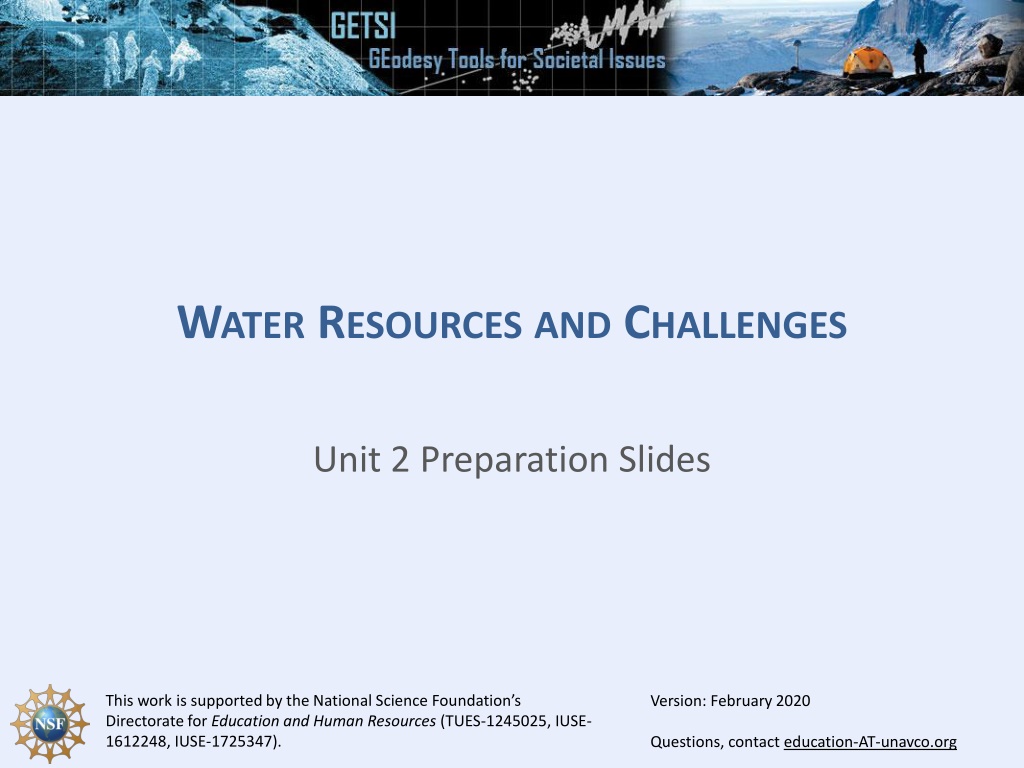
W
ATER
R
ESOURCES
AND
C
HALLENGES
Unit 2 Preparation Slides
Version: February 2020


O
UTLINE
1.
Unit 2.1 – High Plains Aquifer
1.
Groundwater Mining: a Global Problem
2.
The all-important High Plains Aquifer
2.
Unit 2.2 – Western Mountain Watershed
1.
Mountains - Water towers of the West
2.
Introduction to the study area in Southern Rocky Mountains
3.
Droughts, Fires, and Floods
1. G
ROUNDWATER
MINING
:
A
GLOBAL
PROBLEM
These figures are from Konikow, 2011
See also Figure 2 from Famiglietti, 2014
2. T
HE
H
IGH
P
LAINS
A
QUIFER
•
Underlies >100 million acres
across 8 states
•
~One-third of American
irrigated croplands are
irrigated with water
pumped from HPA
–
grain for food, livestock,
ethanol
•
Over 80% of residents
within HPA rely on it for
drinking water
Irrigated crops
and pasture
Uncultivated
land
HPA C
LIMATE
•
Gets drier and higher in
elevation from east to
west
•
Insufficient rainfall for
most crops, so farmers
irrigate from HPA.
•
From 1949 to 1980,
irrigated acres went from
2.1 million to 13.7 million
•
Aquifer recharged
(slowly) by rainfall, rivers,
and small lakes
Higher
Drier
Lower
Wetter
D
ROUGHT
IN
THE
H
IGH
P
LAINS
A
QUIFER
2014 USGS S
TUDY
•
Widespread groundwater
declines in HPA since 1950
•
Worse in southern HPA
R
EADINGS
AND
R
ESOURCES
FOR
U
NIT
2.1
•
The High Plains Aquifer - Can we make it last? [GSA Today]
•
Physical and Cultural setting of the High Plains Aquifer [USGS]
•
Lessons from the High Plains Aquifer [AGI]
•
The Global Groundwater Crisis [Nature]
•
GRACE tracking water around globe [NASA Video
]
•
High Plains Aquifer groundwater network [USGS]
•
USGS Website on 2013 report on HPA [USGS]
•
Water-level change in the HPA system [USGS Video]
•
Satellites investigating a stressed aquifer [NASA Earth
Observatory]
U
NIT
2.2 – W
ESTERN
M
OUNTAIN
W
ATERSHEDS
S
TUDY
A
REA
FOR
2.2
•
Watershed includes
areas over 13,000’
•
Vallecito Ck ->
Vallecito Res ->
Los Piños River
•
LPR water diverted
into irrigation ditches
for agricultural users
•
Water in reservoir
also provides storage
for Bayfield, Ignacio
municipal use
I
NTRODUCTION
TO
THE
UNIT
2.2
STUDY
AREA
I
NTRODUCTION
TO
THE
UNIT
2.2
STUDY
AREA
Vallecito
Reservoir
Ignacio, CO
Bayfield, CO
Irrigated crops
and pasture
Los Piños
River
San Juan Mountains
Vallecito Creek
I
NTRODUCTION
TO
THE
UNIT
2.2
STUDY
AREA
•
Vallecito Reservoir
summer
recreation
destination
(boating, fishing,
vacation homes)
•
Also provides
water storage and
flood control for
downstream
communities
D
ROUGHT
%
IN
THE
C
OLORADO
R
IVER
B
ASIN
, CO
2002
2018
L
OW
SNOWPACK
-> D
RY
SUMMER
-> W
ILDFIRES
R
EADINGS
AND
R
ESOURCES
FOR
U
NIT
2.2
L
O
C
A
L
:
•
Four Corners drought goes beyond extreme; No relief in sight [Cortez Journal]
•
Conditions feeding 416 Fire could be 'New Normal' [Westword - 06/13/2018]
•
Colorado's 2018 Fire Season was one of the worst yet, and it's not over yet
[Denver Post - 08/18/2018]
•
Lingering Colorado River drought could lead to shortages [Scientific
American]
•
Bayfield may tap reserve water in Vallecito Reservoir [Durango Herald -
05/31/2018]
•
Southwest Colorado in 'exceptional drought' [Pine River Times - 04/25/2018]
•
Receding shoreline leaves dock high and dry at Vallecito [Durango Herald -
07/16/2018]
•
Flood Warnings Continue [Pine River Times, 06/12/2015]
B
I
G
P
I
C
T
U
R
E
:
•
Declining snowpack over western U.S. mapped at finer scale [ScienceDaily]
•
Snowpack levels show dramatic declines across western U.S. [ScienceDaily]
•
Dramatic declines in snowpack in the western US [Nature]
•
Killing the Colorado - What you need to know [ProPublica]
Explore the critical issues surrounding water resources through a detailed examination of the High Plains Aquifer and Western Mountain Watershed. Delve into the impact of groundwater mining, climate change, and droughts on these vital water systems, and discover potential solutions and resources for sustainable water management.

Download Presentation

Please find below an Image/Link to download the presentation.
The content on the website is provided AS IS for your information and personal use only. It may not be sold, licensed, or shared on other websites without obtaining consent from the author. Download presentation by click this link. If you encounter any issues during the download, it is possible that the publisher has removed the file from their server.
E N D
Presentation Transcript
WATER RESOURCES AND CHALLENGES Unit 2 Preparation Slides This work is supported by the National Science Foundation s Directorate for Education and Human Resources (TUES-1245025, IUSE- 1612248, IUSE-1725347). Version: February 2020 Questions, contact education-AT-unavco.org
OUTLINE 1. Unit 2.1 High Plains Aquifer 1. Groundwater Mining: a Global Problem 2. The all-important High Plains Aquifer 2. Unit 2.2 Western Mountain Watershed 1. Mountains - Water towers of the West 2. Introduction to the study area in Southern Rocky Mountains 3. Droughts, Fires, and Floods
1. GROUNDWATERMINING: AGLOBALPROBLEM These figures are from Konikow, 2011 See also Figure 2 from Famiglietti, 2014 Konikow, Geophysical Res. Letters, 2011 NASA EarthObservatory
2. THE HIGH PLAINS AQUIFER Underlies >100 million acres across 8 states ~One-third of American irrigated croplands are irrigated with water pumped from HPA grain for food, livestock, ethanol Over 80% of residents within HPA rely on it for drinking water
Irrigated crops and pasture Uncultivated land
HPA CLIMATE Gets drier and higher in elevation from east to west Insufficient rainfall for most crops, so farmers irrigate from HPA. From 1949 to 1980, irrigated acres went from 2.1 million to 13.7 million Aquifer recharged (slowly) by rainfall, rivers, and small lakes Higher Drier Lower Wetter
2014 USGS STUDY Widespread groundwater declines in HPA since 1950 Worse in southern HPA
READINGSAND RESOURCESFOR UNIT 2.1 The High Plains Aquifer - Can we make it last? [GSA Today] Physical and Cultural setting of the High Plains Aquifer [USGS] Lessons from the High Plains Aquifer [AGI] The Global Groundwater Crisis [Nature] GRACE tracking water around globe [NASA Video] High Plains Aquifer groundwater network [USGS] USGS Website on 2013 report on HPA [USGS] Water-level change in the HPA system [USGS Video] Satellites investigating a stressed aquifer [NASA Earth Observatory]
STUDY AREAFOR 2.2 Watershed includes areas over 13,000 Vallecito Ck -> Vallecito Res -> Los Pi os River LPR water diverted into irrigation ditches for agricultural users Water in reservoir also provides storage for Bayfield, Ignacio municipal use
INTRODUCTIONTOTHEUNIT 2.2 STUDYAREA Vallecito Creek San Juan Mountains Vallecito Reservoir Bayfield, CO Los Pi os River Ignacio, CO Irrigated crops and pasture
INTRODUCTIONTOTHEUNIT 2.2 STUDYAREA Vallecito Reservoir summer recreation destination (boating, fishing, vacation homes) Also provides water storage and flood control for downstream communities
DROUGHT % INTHE COLORADO RIVER BASIN, CO 2002 2018
READINGSAND RESOURCESFOR UNIT 2.2 LOCAL: Four Corners drought goes beyond extreme; No relief in sight [Cortez Journal] Conditions feeding 416 Fire could be 'New Normal' [Westword - 06/13/2018] Colorado's 2018 Fire Season was one of the worst yet, and it's not over yet [Denver Post - 08/18/2018] Lingering Colorado River drought could lead to shortages [Scientific American] Bayfield may tap reserve water in Vallecito Reservoir [Durango Herald - 05/31/2018] Southwest Colorado in 'exceptional drought' [Pine River Times - 04/25/2018] Receding shoreline leaves dock high and dry at Vallecito [Durango Herald - 07/16/2018] Flood Warnings Continue [Pine River Times, 06/12/2015] BIG PICTURE: Declining snowpack over western U.S. mapped at finer scale [ScienceDaily] Snowpack levels show dramatic declines across western U.S. [ScienceDaily] Dramatic declines in snowpack in the western US [Nature] Killing the Colorado - What you need to know [ProPublica]