Anacostia River Conservation and Usage Project


ANACOSTIA RIVER SEDIMENT PROJECT
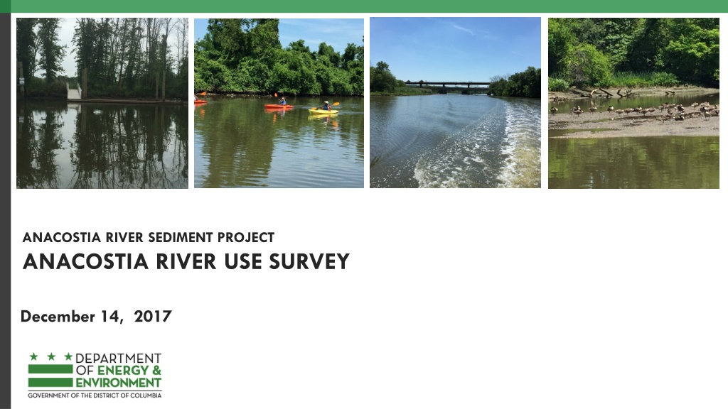
ANACOSTIA RIVER USE SURVEY
December 14, 2017


Anacostia River Use Survey
What: Surveys how the Anacostia River is currently used and how it will be
used in the future – 12 questions
How: Controlled paper distribution and electronic (distribution lists, DOEE
website)
When: Now through close of RI public comment period
Who (Audience): Current and future river users
Who (Analyses): DOEE and AWT
Goal(s): Establish recreational river depth, learn about future recreational use
preferences
Next Steps: Get out the word
2

@doee_dc

Anacostia River Use Survey
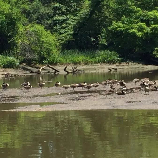
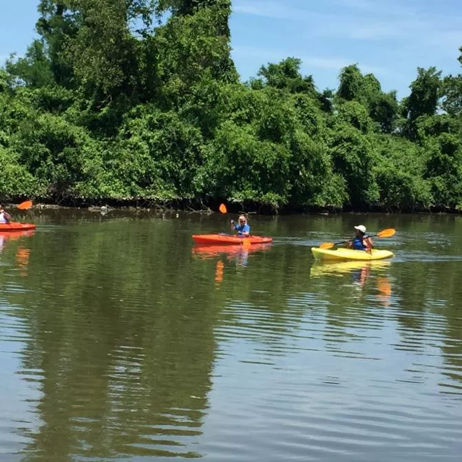
User profile: residence, current river use
Types of boaters: boating: non motorized small boat (e.g., canoes, kayaks,
sailing, SUP), motored small/large boat, club
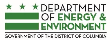
Types of other river and near users: general park use (e.g., hiking, biking,
picnicking), fishing, swimming
For current river users: Is the river deep enough for your recreational use?
Opinions on ease of river use: access, infrastructure, lifestyle
Future swimming preferences: frequency and access
ARSP awareness
3
@doee_dc
Federal Channel
Lower Anacostia
and Washington
Channel
Potomac confluence
upstream to South Capitol
Street Bridge: 24 foot depth
by 800 feet wide
South Capitol Street Bridge
to Sousa Bridge: 24 foot
depth by 400 feet wide
Washington Channel: 24 foot
depth by 400 feet wide
4
Federal Channel
Pennsylvania Ave.
1985
Federal Channel
Upper Anacostia
Extends from Sousa
Bridge to Bladensburg: 8
foot depth by 80 feet
wide
5
Federal Channel
Bladensburg Marina
Benning Road
MD/DC Line
1985
Some Anacostia River Depth Ideas
Potomac confluence upstream to Sousa Bridge: 15 foot depth
Sousa Bridge to CSX Bridge: 12 foot depth
CSX Bridge to Bladensburg: 8 foot depth
6
@doee_dc
ANACOSTIA GOALS: FISHABLE/SWIMMABLE!
Work with responsible parties, stakeholders,
community to cleanup the river
Increase the opportunity for greater community
activities along and in the river
Continue restoration that creates habitat for
strong wildlife populations that can live and
breed off of the river
Monitor recovery
@doee_dc
8
THANK YOU
QUESTIONS?
Gretchen Mikeska
Gretchen.mikeska@dc.gov
202.609.0964
An initiative focused on understanding and improving the usage and conservation of the Anacostia River. It includes surveys to determine current and future river use, analysis of user profiles, depth considerations, and goals for making the river fishable and swimmable. The project aims to work with various stakeholders for river cleanup, enhance community activities, restore habitats, and monitor recovery efforts.

Download Presentation

Please find below an Image/Link to download the presentation.
The content on the website is provided AS IS for your information and personal use only. It may not be sold, licensed, or shared on other websites without obtaining consent from the author.If you encounter any issues during the download, it is possible that the publisher has removed the file from their server.
You are allowed to download the files provided on this website for personal or commercial use, subject to the condition that they are used lawfully. All files are the property of their respective owners.
The content on the website is provided AS IS for your information and personal use only. It may not be sold, licensed, or shared on other websites without obtaining consent from the author.
E N D
Presentation Transcript
ANACOSTIA RIVER SEDIMENT PROJECT ANACOSTIA RIVER USE SURVEY December 14, 2017
Anacostia River Use Survey 2 What: Surveys how the Anacostia River is currently used and how it will be used in the future 12 questions How: Controlled paper distribution and electronic (distribution lists, DOEE website) When: Now through close of RI public comment period Who (Audience): Current and future river users Who (Analyses): DOEE and AWT Goal(s): Establish recreational river depth, learn about future recreational use preferences Next Steps: Get out the word @doee_dc
Anacostia River Use Survey 3 User profile: residence, current river use Types of boaters: boating: non motorized small boat (e.g., canoes, kayaks, sailing, SUP), motored small/large boat, club Types of other river and near users: general park use (e.g., hiking, biking, picnicking), fishing, swimming For current river users: Is the river deep enough for your recreational use? Opinions on ease of river use: access, infrastructure, lifestyle Future swimming preferences: frequency and access ARSP awareness @doee_dc
Federal Channel Lower Anacostia and Washington Channel 4 Federal Channel Potomac confluence upstream to South Capitol Street Bridge: 24 foot depth by 800 feet wide South Capitol Street Bridge to Sousa Bridge: 24 foot depth by 400 feet wide Washington Channel: 24 foot depth by 400 feet wide 1985
Federal Channel Upper Anacostia 5 5 Bladensburg Marina Federal Channel Extends from Sousa Bridge to Bladensburg: 8 foot depth by 80 feet wide Benning Road 1985
Some Anacostia River Depth Ideas 6 Potomac confluence upstream to Sousa Bridge: 15 foot depth Sousa Bridge to CSX Bridge: 12 foot depth CSX Bridge to Bladensburg: 8 foot depth @doee_dc
ANACOSTIA GOALS: FISHABLE/SWIMMABLE! Work with responsible parties, stakeholders, community to cleanup the river Increase the opportunity for greater community activities along and in the river Continue restoration that creates habitat for strong wildlife populations that can live and breed off of the river Monitor recovery @doee_dc
8 THANK YOU QUESTIONS? Gretchen Mikeska Gretchen.mikeska@dc.gov 202.609.0964