Addressing Delay in NSRS Modernization Efforts
The modernization of the NSRS faces delays beyond 2022, impacting users who rely on GPS/geoid/leveling data. Recommendations are being developed to guide users, with some decisions requiring real-time adjustments. Key issues include the lack of GPS access and internet connection for OPUS services, which depend on online connectivity. The delay announcement was made on June 23, 2020, with further updates provided through various communication channels.
Download Presentation

Please find below an Image/Link to download the presentation.
The content on the website is provided AS IS for your information and personal use only. It may not be sold, licensed, or shared on other websites without obtaining consent from the author.If you encounter any issues during the download, it is possible that the publisher has removed the file from their server.
You are allowed to download the files provided on this website for personal or commercial use, subject to the condition that they are used lawfully. All files are the property of their respective owners.
The content on the website is provided AS IS for your information and personal use only. It may not be sold, licensed, or shared on other websites without obtaining consent from the author.
E N D
Presentation Transcript
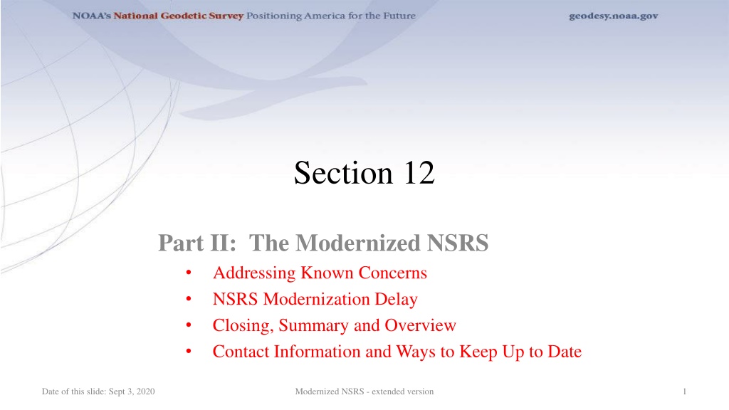
Section 12 Part II: The Modernized NSRS Addressing Known Concerns NSRS Modernization Delay Closing, Summary and Overview Contact Information and Ways to Keep Up to Date Date of this slide: Sept 3, 2020 Modernized NSRS - extended version 1
Part II: The Modernized NSRS Guiding Principles Documentation Geometric Reference Frames Geopotential Datum Coordinates and Database BREAK Accessing the NSRS The NOAA CORS Network OPUS: The New Bluebooking New Surveying Specifications Transformations and Conversions State Plane Coordinates Addressing Known Concerns NSRS Modernization Delay Closing, Summary and Overview Contact Information and Ways to Keep Up to Date Date of this slide: Sept 3, 2020 Modernized NSRS - extended version 2
Known Concerns Closure of GPS/geoid/leveling Differential Leveling is more precise over short distances than GPS+GEOID. NGS is developing recommendations in Blueprint Part 3 to guide users. TBDs in Blueprint Parts 1 3 Expect to have most TBDs determined before rollout, though some will require on-the-fly decisions through experimentation I don t have GPS I don t have a good internet connection OPUS relies upon internet .no downloadable version as there was with ADJUST/PAGES... Date of this slide: Sept 3, 2020 Modernized NSRS - extended version 3
Part II: The Modernized NSRS Guiding Principles Documentation Geometric Reference Frames Geopotential Datum Coordinates and Database BREAK Accessing the NSRS The NOAA CORS Network OPUS: The New Bluebooking New Surveying Specifications Transformations and Conversions State Plane Coordinates Addressing Known Concerns NSRS Modernization Delay (3 slides) Closing, Summary and Overview Contact Information and Ways to Keep Up to Date Date of this slide: Sept 3, 2020 Modernized NSRS - extended version 4
NSRS Modernization: DELAY It s official: we are delayed beyond 2022 On June 23, 2020, this message was rolled out: NGS Web Page NSRS Modernization News Special Issue Granicus Announcement (email) Notifications to NSPS, AAGS, FGDC/FGCS Date of this slide: Sept 3, 2020 Modernized NSRS - extended version 5
NSRS Modernization: DELAY A list of FAQs is available. Some summary highlights: Why are we delayed? GRAV-D issues (COVID-19, airspace, unforeseen maintenance) Personnel availability How long is the delay? Unknown. We hope only a few years. The future cannot be predicted. Will names change? No, GEOID2022 , NATRF2022 , etc. will remain the same Date of this slide: Sept 3, 2020 Modernized NSRS - extended version 6
NSRS Modernization: DELAY What now? NGS is re-prioritizing all modernization tasks Focusing efforts on getting tasks completed in a logical order that builds one upon the next To allow us the choice, if we wish, to phase the modernization roll-out: For example, rolling out NATRF2022 before NADCON exists For example, rolling out NATRF2022 before NAPGD2022 BUT phased roll-out isn t on the table yet Date of this slide: Sept 3, 2020 Modernized NSRS - extended version 7
Part II: The Modernized NSRS Guiding Principles Documentation Geometric Reference Frames Geopotential Datum Coordinates and Database BREAK Accessing the NSRS The NOAA CORS Network OPUS: The New Bluebooking New Surveying Specifications Transformations and Conversions State Plane Coordinates Addressing Known Concerns NSRS Modernization Delay Closing, Summary and Overview (6 slides) Contact Information and Ways to Keep Up to Date Date of this slide: Sept 3, 2020 Modernized NSRS - extended version 8
Summary The NSRS of today is based on: Pre-space-age geodetic technology The concept of one unique coordinate assigned to a point, in perpetuity The modernized NSRS will: Leverage GNSS Embrace the movements of points on Earth s crust Date of this slide: Sept 3, 2020 Modernized NSRS - extended version 9
Summary Your NAD 83 coordinates may change by 2 4 meters Your orthometric heights may change by up to 2 meters (or more) Magnitude of change will vary with location: NAD 83 will change by about 0.5 to 4 meters horizontally Orthometric and NAD 83 ellipsoid heights will change by up to about 2 meters And that just gets you to a reference epoch Which continues to perpetuate the one coordinate in perpetuity myth After that, real motions kick in and become part of the world of geodetic control Date of this slide: Sept 3, 2020 Modernized NSRS - extended version 10
Summary But it s not all change You will still be able to: Get a position using OPUS Adjust your projects to some reference epoch Look at a mark s datasheet Only now, there will be a lot more information and a lot more service provided Date of this slide: Sept 3, 2020 Modernized NSRS - extended version 11
Summary Socioecomic Benefit: Value of the NGS gravity program part of the NSRS modernization effort was estimated in a 2019 study to be between $4.2 billion and $13.3 billion over ten years, with a middle scenario of $8.7 billion. Date of this slide: Sept 3, 2020 Modernized NSRS - extended version 12
Closing Surveying will still be surveying Just because NGS provides time-dependent information doesn t mean everything you do has to be time dependent NGS will provide tools to minimize its impact: Plate fixed frames Reference epoch coordinates Date of this slide: Sept 3, 2020 Modernized NSRS - extended version 13
Closing But if time-change is important (heights in coastal subsidence zones, anyone?) they are available Survey epoch coordinates will show a mark s coordinate history The IFVM will be broadly useful for showing movement in the horizontal, but significantly less so in the vertical Date of this slide: Sept 3, 2020 Modernized NSRS - extended version 14
Part II: The Modernized NSRS Guiding Principles Documentation Geometric Reference Frames Geopotential Datum Coordinates and Database BREAK Accessing the NSRS The NOAA CORS Network OPUS: The New Bluebooking New Surveying Specifications Transformations and Conversions State Plane Coordinates Addressing Known Concerns NSRS Modernization Delay Closing, Summary and Overview Contact Information and Ways to Keep Up to Date Date of this slide: Sept 3, 2020 Modernized NSRS - extended version 15
How to stay informed Questions? ngs.infocenter@noaa.gov NGS Regional Advisors: https://geodesy.noaa.gov/ADVISORS/index.shtml NSRS Modernization News https://www.ngs.noaa.gov/datums/newdatums/index.shtml Webinars: https://www.ngs.noaa.gov/INFO/subscribe.shtml Date of this slide: Sept 3, 2020 Modernized NSRS - extended version 16
Thank You for your interest in the Modernized National Spatial Reference System Date of this slide: Sept 3, 2020 Modernized NSRS - extended version 17
End of Section 12 Date of this slide: Sept 3, 2020 Modernized NSRS - extended version 18
Questions? Date of this slide: Sept 3, 2020 Modernized NSRS - extended version 19
