Cut Slope Design and Topographic Surveying
Geotechnical engineers and engineering geologists play crucial roles in designing earth structures based on geological data. This involves assessing and forecasting hazards, making slope design recommendations, and more. The process includes topographic surveys, rock mass characterization, photogram
0 views • 11 slides
ASPRS UAS Mapping Certification Process
ASPRS offers accredited certifications in geospatial disciplines such as photogrammetry and GIS. The certification levels include Professional/Scientist, Technologist, and Intern, each requiring specific experience or coursework. Recertification every 4 years is mandatory, with no test required. The
0 views • 16 slides
Compact Aerial Photogrammetry System (CAPS) with VTOL Drone
Developing a Compact Aerial Photogrammetry System (CAPS) utilizing a fixed-wing VTOL drone equipped with cameras and GPS for generating georeferenced maps of large areas. The system combines drone versatility with advanced image analysis, enabling aerial assessments and coherent change detection. Pr
1 views • 18 slides
Spatial Error in Photogrammetry
Reprojection error in photogrammetry refers to the discrepancy between a known point in a scene and its projected position on an image. Photometric error, on the other hand, involves errors related to pixel intensity values. To minimize reprojection error, parameters such as camera intrinsics, extri
0 views • 5 slides
LiDAR Backscattering and Vegetation Structure Analysis
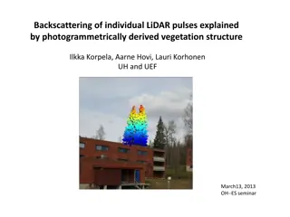
Exploring the intricacies of LiDAR pulse backscattering in relation to vegetation structure analysis using photogrammetry-derived data. Discussing the technical aspects of pulsed LiDAR sensors, hot-spot view geometry, time-stamped photons, vicarious reflectance calibration, and challenges in radiome
1 views • 19 slides
Remote Sensing and GIS Applications in Photogrammetry: Understanding Scale Variations
Exploring the fundamental principles of photogrammetry in remote sensing and GIS applications, this content delves into the science of measurements from aerial photographs. It discusses the implications of scale differences on maps and aerial photographs, emphasizing the variations in scale due to t
0 views • 19 slides
