Comparison of LandXML, ISO 19152:2012 LADM, and LandInfra Conceptual Model
This comparison explores LandXML, ISO 19152:2012 LADM, and the draft LandInfra conceptual model in the context of land-related models. It discusses the features, uses, and development history of each model, shedding light on their applications in land administration and cadastral survey information. The author's background and key aspects of each model are highlighted, providing insight into their significance within the geospatial and BIM domains.
Download Presentation

Please find below an Image/Link to download the presentation.
The content on the website is provided AS IS for your information and personal use only. It may not be sold, licensed, or shared on other websites without obtaining consent from the author. Download presentation by click this link. If you encounter any issues during the download, it is possible that the publisher has removed the file from their server.
E N D
Presentation Transcript
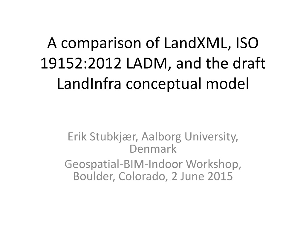
A comparison of LandXML, ISO 19152:2012 LADM, and the draft LandInfra conceptual model Erik Stubkj r, Aalborg University, Denmark Geospatial-BIM-Indoor Workshop, Boulder, Colorado, 2 June 2015
Land-related models compared 1. Introduction A. LandXML (XML data file format for cadastral survey) B. ISO 19152:2012 (a conceptual model of a domain) Land Administation Domain Model (LADM) C. Draft LandInfra Conceptual Model, comments requested Feb. 2015 2. Comparison 3. Suggestions for LandInfra Stubkj r: Comparison of Land-related Models -- OGC, Geospatial BIM Workshop, Boulder, June 2015 2
Introduction: Author background Licensed cadastral surveyor 1971 Engaged in development of National Register of Buildings and Dwellings 1972-76 Professor 1977 2008 at Aalborg Uni, DK European project: Modelling Real Property Transactions 2001 2005 Cadastre and Land Administration Thesaurus (CaLAThe) 2011 - .. with Dr. Volkan Cagdas, Yildiz.tr Stubkj r: Comparison of Land-related Models -- OGC, Geospatial BIM Workshop, Boulder, June 2015 3
1.A LandXML Mandatory in NZ to lodge cadastral survey information using LandXML in 2007, next AU XML Schema v. 1.2 issued in 2008, 2.0 in 2014 ePlan Model: an agreed Conceptual Model of a cadastral survey that meets the needs of the ICSM Jurisdictions, 2011 Stubkj r: Comparison of Land-related Models -- OGC, Geospatial BIM Workshop, Boulder, June 2015 4
LandXML schema elements, presented as UML classes Parcel package, one of 17 packages. - Paul Scarponcini, 2013 Stubkj r: Comparison of Land-related Models -- OGC, Geospatial BIM Workshop, Boulder, June 2015 5
LandXML schema elements, presented as UML classes Survey package, one of 17 packages. P. Scarponcini, H.-C. Gruler, 2013 6 Stubkj r: Comparison of Land-related Models -- OGC, Geospatial BIM Workshop, Boulder, June 2015
1.B ISO 19152:2012 LADM Land administration: The process of determining, recording and disseminating information about the relationship between people and land / land tenure. (LADM) Development by ITC/DUT, NL, within the International Federation of Surveyors (FIG) from 2002, and ISO and TC 211 during 2008 - 2012 Geospatial aspects follow the ISO/TC 211 conceptual model. Stubkj r: Comparison of Land-related Models -- OGC, Geospatial BIM Workshop, Boulder, June 2015 7
ISO 19152:2012 LADM Party Package: parties (people and organizations) Administrative Package: basic administrative units [= property units], rights, responsibilities, and restrictions (ownership rights); Spatial Unit Package: spatial units (parcels, and the legal space of buildings and utility networks); including the Surveying and Representation Subpackage: spatial sources (surveying), and spatial representations (geometry and topology); Stubkj r: Comparison of Land-related Models -- OGC, Geospatial BIM Workshop, Boulder, June 2015 8
1.C LandInfra Conceptual Model UML conceptual model that could be implemented in GML (as InfraGML) Initially focus on alignments/roads, survey, and land parcels, the subject areas for which there are identified needs be synchronized with the concurrent efforts by buildingSMART International s Industry Foundation Classes (IFCs), and be more easily integrated with OGC CityGML. Stubkj r: Comparison of Land-related Models -- OGC, Geospatial BIM Workshop, Boulder, June 2015 9
2. Comparisons A. Parcel structure LandXML LADM LandInfra Parcels Parcel Parcel+parcelType LA_BAUnit LA_Parcel LA_LegalSpaceBuildingUnit LA_LegalSpaceUtilityNetwork LandParcel ParcelUnit ? Building, but don t fit ? Facility, do.do. CoordinateGeometry: :CoordGeom LA_Point LA_BoundaryFaceString LA_BoundaryFace Point BoundingElement BoundingElement Co.Geometry::Center Parcel+area Parcel+volume LA_Parcel+referencePoint LA_Parcel+area LA_Parcel+volume Bound.gElement+point ParcelUnit+area ParcelUnit+volume 10 Stubkj r: Comparison of Land-related Models -- OGC, Geospatial BIM Workshop, Boulder, June 2015
2. Comparisons B. Legal / administrative aspects LandXML LADM LandInfra ? LA_PartyMember+share LA_Party (as owner) LA_Restriction (~easement) Parcel+liabilityApportionment Parcel+lotEntitlements Parcel+owner Parcel+setbackF..R..S Parcel+state Parcel+useOfParcel ? needed ? needed LandParcel+owner Missing LandInfra::Status Missing LA_Restriction (~easement) Core::Feature E.g. easement boundary missing! Missing! SurveyMonument LA_Point+monumentation Stubkj r: Comparison of Land-related Models -- OGC, Geospatial BIM Workshop, Boulder, June 2015 11
2. Comparisons C. Referencing and Documentation LandXML LADM LandInfra Parcel+buildingLevelNo Parcel+buildingNo ~ LA_Parcel+extAddressID LA_LegalSpaceBuildingUnit +extPhys.Build.UnitID LA_Parcel+suID LA_Parcel+extAddressID Missing! Missing! Parcel+name Parcel+refer.nces(Loc.nAddress) Parcel+references (Title deed) Parcel+taxid LandParcel+parcelID Missing! SurveyHead.r+SurveyorCertific.t LA_Party (Survey and Missing! FieldNote author) Core::FieldNote LA_SpatialSource LA_AdministrativeSource LandInfra (Core) Document class missing Stubkj r: Comparison of Land-related Models -- OGC, Geospatial BIM Workshop, Boulder, June 2015 12
3. Suggestion summary Buildings and building parts, needed for strata title / condominiums are so far not addressed (cf.LandXML s Parcel+buildingLevelNo and Parcel+buildingNo; LADM s LA_LegalSpaceBuildingUnit; ). The LandInfra draft hardly reflects the different document types of a Project. Even if data are assumed to be stored in a database and recombined, recording of responsible person seems warranted and calls for a 'segmentation' of data in one way or another Physical features (edge of house, ditches, .., SurveyMonument) and legal features, e.g easement boundary, need be at least enumerated by the standard. Post address is important in practice, should be included Stubkj r: Comparison of Land-related Models -- OGC, Geospatial BIM Workshop, Boulder, June 2015 13
Questions or comments ? est@land.aau.dk Stubkjaer: Comparison of Land-related Models -- OGC, Geospatial BIM Workshop, Boulder, June 2015 14
