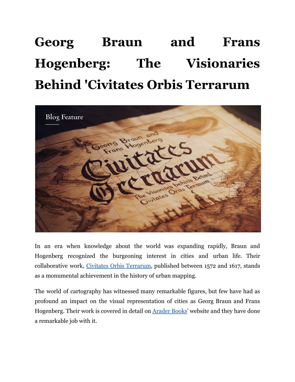
Georg Braun and Frans Hogenberg: The Visionaries Behind 'Civitates Orbis Terraru
Explore the genius of Georg Braun and Frans Hogenberg, the visionaries who created 'Civitates Orbis Terrarum.' A peek into their world.n

Download Presentation

Please find below an Image/Link to download the presentation.
The content on the website is provided AS IS for your information and personal use only. It may not be sold, licensed, or shared on other websites without obtaining consent from the author. Download presentation by click this link. If you encounter any issues during the download, it is possible that the publisher has removed the file from their server.
E N D
Presentation Transcript
Georg Braun and Frans Hogenberg: The Visionaries Behind 'Civitates Orbis Terrarum In an era when knowledge about the world was expanding rapidly, Braun and Hogenberg recognized the burgeoning interest in cities and urban life. Their collaborative work, Civitates Orbis Terrarum, published between 1572 and 1617, stands as a monumental achievement in the history of urban mapping. The world of cartography has witnessed many remarkable figures, but few have had as profound an impact on the visual representation of cities as Georg Braun and Frans Hogenberg. Their work is covered in detail on Arader Books website and they have done a remarkable job with it.
The Collaborators: Georg Braun and Frans Hogenberg Georg Braun: The Scholar and Editor Georg Braun (1541 1622) was a German topo-geographer and cleric born in Cologne. His background as a canon and dean at the church of St. Maria ad Gradus provided him with both the scholarly rigor and the social connections necessary for such an ambitious project. Braun was primarily responsible for the editorial aspect of Civitates Orbis Terrarum, overseeing the acquisition of maps, hiring artists, and writing accompanying texts. His vision was inspired by earlier works, notably Sebastian M nster's Cosmographia, and he sought to create a comprehensive collection that would surpass previous atlases in scope and detail. Braun made sure that the atlas not only depicted the geographical features of cities but also captured their cultural and architectural essence. Frans Hogenberg: The Master Engraver Frans Hogenberg (1535 1590), born in Mechelen, was a Flemish-German painter, engraver, and cartographer. His artistic skills were crucial to the visual appeal of Civitates Orbis Terrarum. Hogenberg's studio was renowned for producing detailed and panoramic views of cities, which were often based on sketches and descriptions from travelers and other sources. Despite never visiting many of the cities he depicted, Hogenberg's engravings were celebrated for their accuracy and artistic quality. His work on Civitates Orbis Terrarum involved creating the detailed city views that would become the hallmark of the atlas. Hogenberg's ability to translate textual descriptions into compelling visuals allowed readers to experience cities they might never visit in person. Read More Articles: How to Safely Handle Gas Leaks in Your Cooktop?
The Creation of Civitates Orbis Terrarum Concept and Development The idea for the Braun Hogenberg Civitates Orbis Terrarum by Frans Hogenberg was inspired by the "Theatrum Orbis Terrarum," an earlier atlas by Abraham Ortelius, which focused on world maps. Braun and Hogenberg aimed to complement Ortelius's work by providing detailed views of cities. The project involved collaboration with numerous artists and cartographers who contributed maps, views, and descriptions of cities from across Europe, Asia, Africa, and the Americas. Volume Breakdown It was published in six volumes over a span of 45 years. Each volume covered different regions and cities, providing a comprehensive visual and descriptive record of urban life during the period. Volu me Publication Year Major Cities Included 1 1572 Cologne, London, Paris, Venice 2 1575 Amsterdam, Florence, Prague, Vienna 3 1581 Antwerp, Constantinople Brussels, Rome, 4 1588 Madrid, Milan, Moscow, Lisbon 5 1598 Hamburg, Frankfurt Dublin, Edinburgh, 6 1617 Geneva, Zurich, Jerusalem, Mexico City Artistic and Cartographic Techniques The maps and views were created using copperplate engraving, a technique that allowed for fine details and intricate designs. Hogenberg and his team of engravers meticulously
crafted each plate, capturing the architectural and geographical features of the cities with remarkable precision. Authenticity and Accuracy One of the notable aspects of this work was its emphasis on accuracy. Braun and Hogenberg relied on firsthand accounts, sketches, and local sources to ensure that their representations were as precise as possible. The atlas included not only maps but also bird s-eye views, which provided a comprehensive perspective of the cities. Read More Articles: The Process of Creating 'The Birds of America': Challenges and Triumphs The Content and Significance of The Masterpiece Scope and Coverage The "Civitates Orbis Terrarum" covered over 500 cities across Europe, Asia, Africa, and the Americas. It provided a unique snapshot of urban life in the late 16th and early 17th centuries, documenting the architecture, layout, and significant landmarks of each city. Contributions to Urban Cartography The atlas was groundbreaking in its approach to urban cartography. It was the first to provide such an extensive and detailed visual record of cities, setting new standards for accuracy and artistic representation. The work influenced future cartographers and urban planners, and it remains a valuable historical resource for understanding the development of cities during this period. City Planning: Urban planners and geographers draw on the detailed representations in this historical work to understand historical urban development patterns. Cultural Studies: Scholars use the atlas as a primary source for studying the cultural and social dynamics of cities during the Renaissance.
Artistic Inspiration: Contemporary artists and designers continue to be inspired by the aesthetic qualities of Hogenberg's engravings, incorporating similar techniques into their work. Wrapping It Up The "Civitates Orbis Terrarum" stands as a testament to the vision and skill of Georg Braun and Frans Hogenberg. Their collaborative effort produced a work no one can ever overlook. Head over to Arader Books website to read more on the captivating realm of historical urban landscapes. Let the visionary work of Braun and Hogenberg inspire your own explorations into the cities of the past and their enduring legacies. Site Article: Georg Braun and Frans Hogenberg: The Visionaries Behind 'Civitates Orbis Terrarum