Explore the Wonders of the Baltic Sea
The Baltic Sea, located in Northern Europe, is a unique body of water known for its brackish nature and rich biodiversity. Stretching across various regions and basins, the sea is home to numerous islands and archipelagos, each adding to its charm and beauty. Discover the geophysical data, coastal types, and breathtaking locations that define the Baltic Sea region.

Download Presentation

Please find below an Image/Link to download the presentation.
The content on the website is provided AS IS for your information and personal use only. It may not be sold, licensed, or shared on other websites without obtaining consent from the author. Download presentation by click this link. If you encounter any issues during the download, it is possible that the publisher has removed the file from their server.
E N D
Presentation Transcript
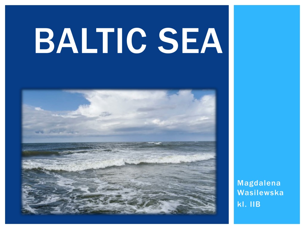
BALTIC SEA Magdalena Wasilewska kl. IIB
LOCATION The Atlantic Scandinavia, countries, Central European Plain. Baltic Sea is a Ocean, Finland, and sea of the by enclosed the the North Baltic and The sea stretches from 53 N to 66 N latitude and from 10 E to 30 E longitude. A mediterranean sea of the Atlantic, with limited water exchange between the two bodies, the Baltic through the Danish islands into the Kattegat by way of the straits of resund, the Great Belt, and the Little Belt. It includes the Gulf of Bothnia, the Bay of Bothnia, the Gulf of Finland, the Gulf of Riga, and the Bay of Gda sk. Sea drains
GEOPHYSICAL DATA Baltic Sea is about 1,600 km (990 mi) long, an average of 193 km (120 mi) wide, and an metres (180 ft) deep. The maximum depth is 459 m (1,506 ft) which is on the Swedish side of the center. The surface area is about 349,644 km2 (134,998 sq mi) [22] and the volume is about 20,000 km3 (4,800 cu mi). The periphery amounts to about 8,000 km coastline. average of 55 (5,000 mi) of The Baltic Sea is one of the largest brackish inland seas by area, and occupies a basin (a zungenbecken) formed by glacial erosion during the last few ice ages.
ISLANDS AND ARCHIPELAGOES land Islands (Finland, autonomous) Archipelago Sea (Finland) Pargas Nagu Korpo Houtsk r Kustavi Kimito Blekinge archipelago (Sweden) Bornholm, including Christians (Denmark) Falster (Denmark) Gotland (Sweden) Hailuoto (Finland) Kotlin (Russia) R gen (Germany) Stockholm archipelago (Sweden) V rmd n (Sweden) Usedom or Uznam (split between Germany and Poland) West Estonian archipelago (Estonia): Hiiumaa Muhu Saaremaa Vormsi Wolin (Poland) Zealand (Denmark) Lolland (Denmark) Kvarken archipelago, including Vals rarna (Finland) M n (Denmark) land (Sweden)
REGIONS AND BASINS OF THE BALTIC SEA 1 = Bothnian Bay 2 = Bothnian Sea 1 + 2 = Gulf of Bothnia, partly also 3 & 4 3 = Archipelago Sea 4 = land Sea 5 = Gulf of Finland 6 = Northern Baltic Proper 7 = Western Gotland Basin 8 = Eastern Gotland Basin 9 = Gulf of Riga 10 = Bay of Gda sk/Gdansk Basin 11 = Bornholm Basin and Han Bight 12 = Arkona Basin 6 12 = Baltic Proper 13 = Kattegat, not an integral part of the Baltic Sea 14 = Belt Sea (Little Belt and Great Belt) 15 = resund (The Sound) 14 + 15 = Danish Straits, not an integral part of the Baltic Sea
COAST TYPES Fjord coast Sandbars coast Skerries coast Cliff Aligned coast
SALNITY The Baltic Sea's salinity is much lower than that of ocean water (which averages 3.5%), as a result of abundant freshwater runoff from the surrounding land, shallowness of the contributes roughly one-fortieth volume per year, as the volume of the basin is about 21,000 km3 (5,000 cu mi) and yearly runoff is about 500 km3 (120 cu mi). The open surface waters of the salinity of 0.5% to 0.8%, which makes the basin border-line freshwater. water as a means of survival would actually hydrate the body instead of dehydrating, as is the case with ocean enclosed bays with major freshwater inflows, such as the head of Finnish Gulf with the Neva mouth and the head of the Bothnian Gulf with the close mouths of the Lule, Tornio and Kemi, the salinity is considerably lower. Below 40 to 70 m (130 to 230 ft), the salinity is between 1.0% and 1.5% in the open Baltic Sea, and higher near the Danish Straits, but this is still less than half that of ocean water. combined sea with the itself; runoff total its central basin have Drinking the water.At the semi-
THE ICE On the long-term average, the Baltic Sea is ice-covered at the annual about 45% of its surface area. The ice- covered area during such a typical winter includes the Gulf of Bothnia, the Gulf of Finland, the Gulf of Riga, the archipelago west of Estonia, the Stockholm archipelago, and the Archipelago Finland. The remainder of the Baltic does not freeze during a normal winter, with the exception of sheltered bays and shallow lagoons such as the Curonian Lagoon. The ice reaches its maximum extent in February or March; typical ice northernmost areas in the Bothnian Bay, the northern basin of the Gulf of Bothnia, is about 70 cm (28 in) for landfast sea ice. The thickness decreases farther south. maximum for Sea southwest of thickness in the
FAUNA The fauna of the Baltic sea is a mixture of marine and freshwater species. Among marine fishes are cod, herring, hake, plaice, sculpin, stickleback and freshwater species include perch, pike, whitefish and roach. flounder, and shorthorn examples turbot, of There is a decrease in faunal species from the Belts to the Gulf of Bothnia. The decreasing salinity along this path causes restrictions in both physiology and habitats.The lack of tides has affected the marine species as compared with the Atlantic. Since the Baltic Sea is so young there are only a few endemic species. The mostly asexually reproducing brown alga Fucus radicans seems to have evolved in the basin. Another endemic is the Copenhagen cockle parvicardium hauniense. species have populations in the Baltic Sea adapted to the low salinity, such as the Baltic Sea herring which is smaller than the Atlantic herring. However, several marine
POLLUTION The Baltic Sea is almost totally surrounded by land and therefore more endangered by pollution than other marine areas. The sources of marine pollution are municipal and industrial waste inputs directly into the sea or via rivers, and atmospheric inputs mainly from traffic and agriculture. The increase of inorganic plant nutrients (NH3, NOx, PO4) caused eutrophication and consequent oxygen coastal bottom waters as well as in the depths of the open sea. In the anoxic sediments, hydrogen produced by protein-decomposing sulfate-reducing bacteria. fauna will be destroyed tolerant microorganisms can survive. depletion in sulfide can be and The bottom only and H2S
THE END SOURCES: https://en.wikipedia.org/wiki/Baltic_Sea http://ivloken.republika.pl/baltyk/wybrzeza.htm https://www.ncbi.nlm.nih.gov/pubmed/9722964