UNGGIM 9th Session Committee Updates and Key Outcomes
Stay informed about the latest updates from the 9th session of the United Nations Global Geospatial Information Management Committee of Experts. Explore the formation, structure, scope, and key outcomes discussed during the meeting, including recommendations for a Global Geodetic Centre of Excellence and promotion of Global Fundamental Geospatial Data Themes. Discover the essential role of UNGGIM in promoting cooperation in the field of global geospatial information management.

Uploaded on | 0 Views
Download Presentation

Please find below an Image/Link to download the presentation.
The content on the website is provided AS IS for your information and personal use only. It may not be sold, licensed, or shared on other websites without obtaining consent from the author. Download presentation by click this link. If you encounter any issues during the download, it is possible that the publisher has removed the file from their server.
E N D
Presentation Transcript
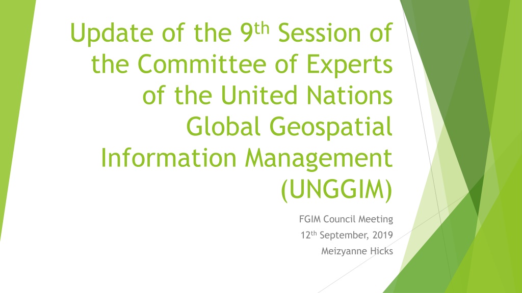
Update of the 9thSession of the Committee of Experts of the United Nations Global Geospatial Information Management (UNGGIM) FGIM Council Meeting 12thSeptember, 2019 Meizyanne Hicks
Scope About the UNGGIM 9thSession Outcomes
Formation and Structure The Economic and Social Council on 27 July 2011 recognized the promote cooperation in the field of global geospatial information and decided, in this regard, to establish the Committee of Experts on Global Geospatial Information (ECOSOC Resolution 2011/24) need to international Management
About UNGGIM Has a bureau with 3 co- chairs and a rapporteur 5 Regional Committees 1 Subcommittee 2 Expert Groups 6 Working Groups
9th Session 7th -9th August, UN HQ, New York Organisation of work on 14 areas which were: Strengthening of geospatial information management. Contribution of regional committees and thematic groups to the global geospatial information agenda. Integrated Geospatial Information Framework. Global geodetic reference frame. Geospatial information for sustainable development. Integration of geospatial, statistical and other related information. Application of geospatial information related to land administration and management. Marine geospatial information. Geospatial information and services for disasters. Legal and policy frameworks, including issues related to authoritative data. Global fundamental geospatial data themes. National institutional arrangements in global geospatial information management. Implementation and adoption of standards for the global geospatial information community. Collaboration with the United Nations Group of Experts on Geographical Names. 1. 2. 3. 4. 5. 6. 7. 8. 9. 10. 11. 12. 13. 14.
Key Outcomes Recommendation for establishing a Global Geodetic Centre of Excellence Guidance to Fiji in terms of aligning it s National Strategy to the Integrated Geospatial Information Framework through the UN Development Account Project Promotion of the Global Fundamental Geospatial Data Themes for use in member states