EARTH’S CHANGING
Delve into the diverse landforms found on Earth's surface and how representations like maps aid in identifying them. Discover the significance of relief maps in showcasing elevation differences across different locations, using examples from Seattle and Atlanta. Compare and contrast the landforms in these places to understand their similarities and differences. Uncover how the land appears distinct in various regions, emphasizing the role of maps in exploring the United States' landforms.

Download Presentation

Please find below an Image/Link to download the presentation.
The content on the website is provided AS IS for your information and personal use only. It may not be sold, licensed, or shared on other websites without obtaining consent from the author.If you encounter any issues during the download, it is possible that the publisher has removed the file from their server.
You are allowed to download the files provided on this website for personal or commercial use, subject to the condition that they are used lawfully. All files are the property of their respective owners.
The content on the website is provided AS IS for your information and personal use only. It may not be sold, licensed, or shared on other websites without obtaining consent from the author.
E N D
Presentation Transcript
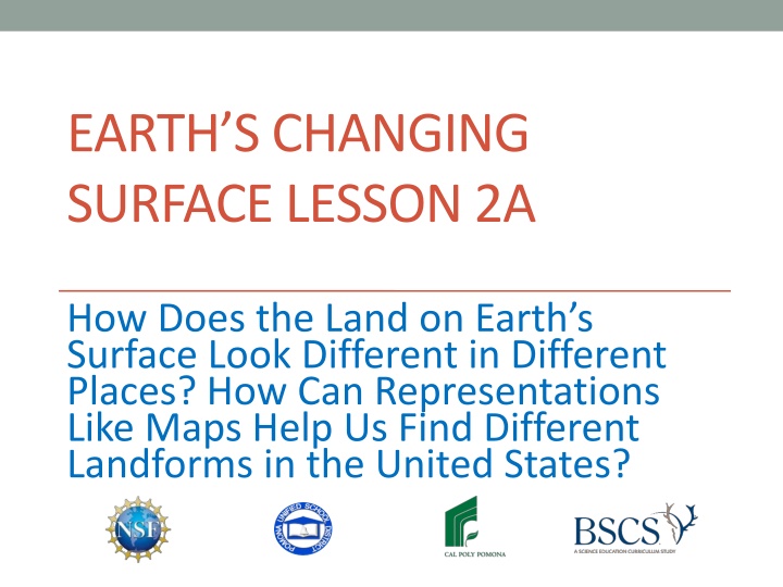
EARTHS CHANGING SURFACE LESSON 2A How Does the Land on Earth s Surface Look Different in Different Places? How Can Representations Like Maps Help Us Find Different Landforms in the United States?
Is This a Landform? Why or Why Not? Photo courtesy of Gh5046 /Wikimedia Commons
Is This a Landform? Why or Why Not? Photo courtesy of Daquella Manera/Wikimedia Commons
Is This a Landform? Why Or Why Not? Photo courtesy of Pixabay.com
Todays Focus Questions How does the land on Earth s surface look different in different places? How can representations like maps help us find different landforms in the United States?
What Is a Relief Map? Scientists use special maps to find landforms in different places. These maps are called relief maps. Relief maps show how high or low or flat the land is in different places. Another word scientist use for this is elevation. A high elevation means the land rises high above Earth s surface. A low elevation means the land is low or flat or at sea level.
Lets Be Land Detectives! We re going to investigate landforms in two places on our relief maps: Seattle and Atlanta. Make sure to touchthe map to help you find the landforms in each place. What landforms does each place have? Think about how the landforms in both places are similar or different. Look for 2 pieces of evidence that can help us answer the focus question on the handout. Your evidence can include examples of landforms.
The Same or Different? Let s answer these questions using evidence from our relief maps and Venn diagrams: How is the land in Seattle and Atlanta the same? How is it different?
Our Focus Questions How does the land on Earth s surface look different in different places? How can representations like maps help us find different landforms in the United States?
Lets Summarize! Use evidence from your relief map and Venn diagram to complete this sentence in your science notebook: I think the land on Earth s surface [does/does not] look different in different places because ______________. Circle either does or does not to show which answer you ve chosen.
Key Science Ideas Some places on Earth have landforms like mountains, hills, or plateaus that rise high above the surface. Other places have valleys and canyons that cut deep into Earth s surface. Some places are flat with very little change in elevation, like plains. Some places have many bodies of water, like rivers and lakes, and other places don t.
Next Time Here s what we know so far: Earth s surface has many types of landforms. Landforms look different in different places. Next time, we ll investigate landforms in Chicago, Illinois, and Salt Lake City, Utah. Are you ready to be land detectives again?