A Comparative Analysis of Dunbar-Hunter and Corps of Discovery Expeditions
The Dunbar-Hunter Expedition, commissioned by Thomas Jefferson in 1804, aimed to explore and gather knowledge about the physical and cultural geography of the United States. By comparing this expedition with the more renowned Corps of Discovery, led by Lewis and Clark, we can assess their significance in shaping policies related to US expansion between 1800-1818. Dunbar and Hunter's observations, detailed in their journals, shed light on the resources and landscapes of the regions they traversed, providing valuable insights for policymakers of the time.
- Comparative Analysis
- Dunbar-Hunter Expedition
- United States Expansion
- Physical Geography
- Cultural Geography
Download Presentation

Please find below an Image/Link to download the presentation.
The content on the website is provided AS IS for your information and personal use only. It may not be sold, licensed, or shared on other websites without obtaining consent from the author. Download presentation by click this link. If you encounter any issues during the download, it is possible that the publisher has removed the file from their server.
E N D
Presentation Transcript
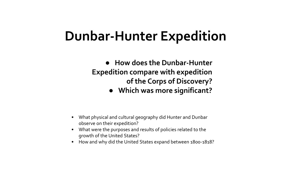
Dunbar-Hunter Expedition How does the Dunbar-Hunter Expedition compare with expedition of the Corps of Discovery? Which was more significant? What physical and cultural geography did Hunter and Dunbar observe on their expedition? What were the purposes and results of policies related to the growth of the United States? How and why did the United States expand between 1800-1818?
Thomas Jefferson to William Dunbar, April 15, 1804
What did President Jefferson ask William Dunbar to do? According to the letter, who paid for this expedition? Who was appointed to go along with William Dunbar? What was his area of specialty? What other natural resources is Jefferson interested in? Why might he be interested in those resources? Thomas Jefferson to William Dunbar, April 15, 1804. Thomas Jefferson Papers, Manuscripts Division, Library of Congress.
Observations Extracted from the Journals of William Dunbar, esq. and Doctor Hunter
Where were these observations made? What type of physical and cultural geography did they notice? Why did Dunbar and Hunter make this trip? Who was the audience for this report? The National Intelligencer and Washington Advertiser. (Washington,D.C.), 15 Oct. 1806. Chronicling America: Historic American Newspapers. Library of Congress.
A Chart of the Internal Part of Louisiana
What rivers and landmarks do you observe on this map? How do they compare with the physical geography mentioned in the journals? What differences do you notice about this map, as compared to maps today? Who might have created this map? For what reason? Who do you think was the audience for the map? Cite evidence to support your answer. Pike, Zebulon Montgomery, and Anthony Nau. A Chart of the Internal part of Louisiana [Philadelphia, 1810] Library of Congress Geography and Map Division
William Dunbar, 1749-1810, half length portrait, standing
Describe this painting. What do you see? What can you infer about William Dunbar based on his portrait? Why do you think this portrait was made? William Dunbar, half length portrait, standing, 1810. Library of Congress Prints and Photographs Division
