
Understanding ArcGIS Data Management
Explore the fundamentals of ArcGIS data management, including distinguishing between geodatabase feature classes, raster classes, and associated files, working with layers and visualizations, saving data and map documents, and utilizing MapDocument in Python scripting for data display manipulation.
0 views • 49 slides
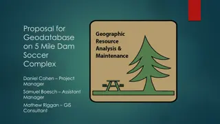
Geodatabase Proposal for 5 Mile Dam Soccer Complex
The proposal outlines the need for a digital geodatabase at the 5 Mile Dam Soccer Complex in San Marcos. It emphasizes the collection of GPS and attribute data for various features, the establishment of a robust data collection methodology, and the creation of a geodatabase file to model the layout
0 views • 15 slides
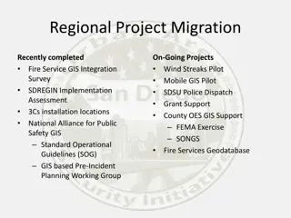
San Diego County Fire Services GIS Integration Project Overview
This project involves the integration of GIS technology for fire services in San Diego County, including the implementation of a geodatabase, pre-incident planning, and collaboration with various public safety agencies. Key tasks include grant funding identification, data migration, and consolidatio
0 views • 7 slides