Understanding Cadastral Mapping Components and Data Sources
Cadastral mapping involves geodetic control networks, parcel identification, and various overlays like zoning and floodplains. City maps are categorized into base, derived, and thematic maps. Data sources include spatial and non-spatial data for property assessment. Layers in cadastral maps cover to
1 views • 16 slides
Flood Warning Program of Urban Drainage & Flood Control District
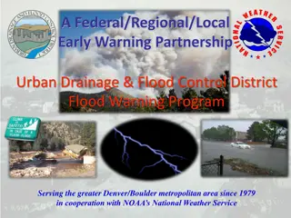
Since 1979, the Federal/Regional/Local Early Warning Partnership of the Urban Drainage & Flood Control District has been providing the greater Denver/Boulder metropolitan area with early flood threat notifications, primarily for flash floods. Working in collaboration with NOAA's National Weather Ser
2 views • 23 slides
Northshore Bulkhead Project Overview
The Northshore Bulkhead Project encompasses three main locations: Canal Area, West Bay Drive and Lindell Blvd, and West End. The project involves installing new FRP bulkheads, removing existing structures, and adhering to FEMA's Base Flood Elevation standards. The selected contractor is Woodstock Co
0 views • 16 slides
Understanding Floodplain Management Policies and Regulations
The provided content highlights key information regarding floodplain management, including the National Flood Insurance Act of 1968 and 1994, Executive Order 11988, 23 USC 650 Subpart A, and updated SEO Floodplain Guidance. These regulations aim to provide flood insurance, establish flood hazard zon
0 views • 25 slides
Chehalis Basin CFAR Program Overview
The Chehalis Basin Strategy Community Flood Assistance & Resilience (CFAR) Program aims to address flood-related challenges in the Chehalis River Basin through multiple reports and recommendations, emphasizing the need to reduce damage to residences, prevent new development in floodplains, and enhan
0 views • 11 slides
Exploration of Site Features through Images
This collection showcases various features found at a specific site, including landscapes, floodplains, terraces, red flags, charcoal layers, and fire-cracked rocks (FCR). The images provide insights into the environment and geological elements present at the site, inviting viewers to explore and an
0 views • 37 slides
