Understanding Spatial Referencing Systems for Mapping
Spatial reference systems play a crucial role in defining geographic parameters and coordinate systems for mapping. They consist of components like orientation, latitude, longitude, and elevation, which help in representing spatial properties on maps. Reference surfaces such as the Geoid and ellipso
4 views • 13 slides
Understanding Gravity and Magnetic Models in Geophysics
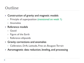
Construction of gravity and magnetic models involves principles of superposition to isolate anomalies, reference ellipsoids, geoid, and various corrections like drift, latitude, free air, Bouguer, and terrain corrections. Gravity anomalies are determined by subtracting multiple factors from observed
0 views • 15 slides

