High-Tech Survey Methods for Continuous Cadastral Map Generation
Generation of cadastral maps through advanced survey techniques using ortho-images, DGPS/GNSS, and ETS. The process involves obtaining boundary vectors from ortho-images, surveying obscured areas with DGPS/GNSS and ETS, and integrating datasets in a GIS environment. The objective is to create contin
0 views • 14 slides
Understanding GPS and Precision Agriculture in Farming
Explore the vital role of GPS technology in precision agriculture, how GPS signals are utilized for accurate positioning, the implementation of Differential GPS (DGPS) to counteract errors, and the diverse agricultural applications of GPS, including guidance systems and Variable Rate Technology (VRT
0 views • 11 slides
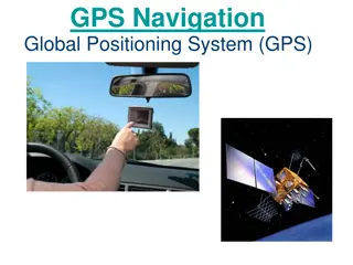
Understanding GPS Technology and Augmentations
Global Positioning System (GPS) utilizes a constellation of satellites to accurately determine device locations on Earth. The system consists of 24 satellites orbiting the planet, with an orbital configuration ensuring worldwide coverage. GPS offers high accuracy, with advancements like Differential
0 views • 9 slides


