Sri Lanka Hydrographic Commission Progress Report
Sri Lanka's National Report to the North Indian Ocean Hydrographic Commission highlights achievements such as publishing Colombo Harbour ENC, launching MSDI web portal, and conducting joint surveys. Challenges include outdated survey data, lack of qualified cartography professionals, and equipment limitations. Progress is ongoing in surveys supporting national charting and defence needs, while charting efforts focus on updated ENC cells and new survey data for various scales. The commission faces obstacles due to the Covid-19 pandemic and economic constraints.

Download Presentation

Please find below an Image/Link to download the presentation.
The content on the website is provided AS IS for your information and personal use only. It may not be sold, licensed, or shared on other websites without obtaining consent from the author. Download presentation by click this link. If you encounter any issues during the download, it is possible that the publisher has removed the file from their server.
E N D
Presentation Transcript
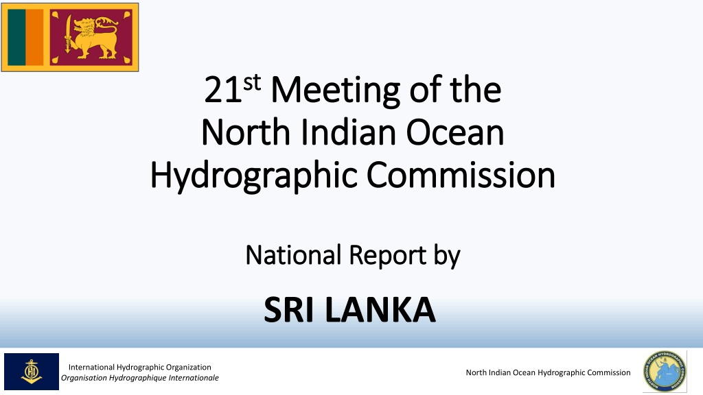
21 21st stMeeting of the Meeting of the North Indian Ocean North Indian Ocean Hydrographic Commission Hydrographic Commission National Report by National Report by SRI LANKA International Hydrographic Organization Organisation Hydrographique Internationale nOIGG North Indian Ocean Hydrographic Commission
Main achievements during the year Publishing of Colombo Harbour ENC (LK5G03D4) Western port of Sri Lanka Launching of MSDI web portal for Sri Lanka Joint survey to reconfirm baseline of Sri Lanka with Land Survey Department Establishment of database and online data processing unit for Crowd Sourced Bathymetry (CSB) Conduct Survey in Anawilundawa Sanctuary to assist Mangrove Restoration site Production of the Nautical Chart of Puttalam Harbour International Hydrographic Organization Organisation Hydrographique Internationale nOIGG North Indian Ocean Hydrographic Commission
Main challenges and/or obstructions Updating old Survey Data of the National Charts Lack of Cartography qualified professionals Lack of equipment to undertake Hydrographic surveys (Eg. MBES) Covid -19 pandemic affected all activities including planned hydrographic surveys & Capacity Building (CB) activities Fund limitation due to present economic crisis in the country International Hydrographic Organization Organisation Hydrographique Internationale nOIGG North Indian Ocean Hydrographic Commission
Progress on Surveys Surveys in support of national charting Surveys in support of defence requirements Surveys in support of projects of national interest Surveys as consultancy service International Hydrographic Organization Organisation Hydrographique Internationale nOIGG North Indian Ocean Hydrographic Commission
Progress on Charting Updated ENC Cells including recently created Colombo Harbour ENC Production of ENCs in all scale bands with new survey data is in progress Production of own INT charts for Colombo harbour & Approaches, and Colombo to Sangamankanda is in progress International Hydrographic Organization Organisation Hydrographique Internationale nOIGG North Indian Ocean Hydrographic Commission
Progress on Maritime Safety Information (MSI) Issuing of Notices to Mariners through UKHO Dissemination Coordinator of NAVAREA warnings through NAVAREA VIII International Hydrographic Organization Organisation Hydrographique Internationale nOIGG North Indian Ocean Hydrographic Commission
Progress on MSDI Ministry maintains data repository with respect to hydrographic oceanographic country. of Defence currently and the data of Online portal for National MSDI was launched on 25thFebruary 2022 International Hydrographic Organization Organisation Hydrographique Internationale nOIGG North Indian Ocean Hydrographic Commission
Capacity Building Contribution Survey Recorder III & Survey Recorder II at Navy Hydrographic School Training modules for Universities including practical training Request for Support CAT B Cartographic Training CAT A and CAT B Hydrography training Cartographic training for production of ENCs, Additional Military Layers (AMLs) & Paper Nautical Charts and their maintenance Training and capacity building on MSI & MSDI Joint surveys in SL waters with MB / LIDAR surveying and processing capabilities International Hydrographic Organization Organisation Hydrographique Internationale nOIGG North Indian Ocean Hydrographic Commission
Contribution to the region ENC production to cover the SLOC coming under National Maritime Jurisdiction has been given a higher precedence Remain open for Regional Cooperation on Hydrographic matters Commitment towards Seabed 2030 International Hydrographic Organization Organisation Hydrographique Internationale nOIGG North Indian Ocean Hydrographic Commission
Lessons learnt to share Need of proper mechanism for MSDI implementation in the country Utilization of virtual platform to meet the CB requirements by implementing virtual programmes Ex. Learn through Each Other programme 2021 Necessity of the regional assistance for the mitigation of maritime hazards and the collective collaboration Necessity of migrating production of ENCs from S-57 to S-100 International Hydrographic Organization Organisation Hydrographique Internationale nOIGG North Indian Ocean Hydrographic Commission
Success stories to share Publishing of Colombo Harbour ENC (LK 5G03D4) through UKHO Launching of National MSDI Web portal for Sri Lanka International Hydrographic Organization Organisation Hydrographique Internationale nOIGG North Indian Ocean Hydrographic Commission
THANK YOU ! International Hydrographic Organization Organisation Hydrographique Internationale nOIGG North Indian Ocean Hydrographic Commission


")