Assessing Forest Loss in Protected Areas: A Philippines Case Study
The study assesses forest cover loss in terrestrial protected areas of the Philippines, analyzing the extent and rate of deforestation using Hansen's Global Forest Cover Change datasets. The research aims to understand the drivers of deforestation in protected areas, comparing forest loss in the entire country, terrestrial protected areas, and buffer zones. Methods included data acquisition through Landsat imagery analysis, focusing on tree cover and forest loss metrics. The findings provide insights into the significance of relationships between forest cover and spatial variables.

Download Presentation

Please find below an Image/Link to download the presentation.
The content on the website is provided AS IS for your information and personal use only. It may not be sold, licensed, or shared on other websites without obtaining consent from the author. Download presentation by click this link. If you encounter any issues during the download, it is possible that the publisher has removed the file from their server.
E N D
Presentation Transcript
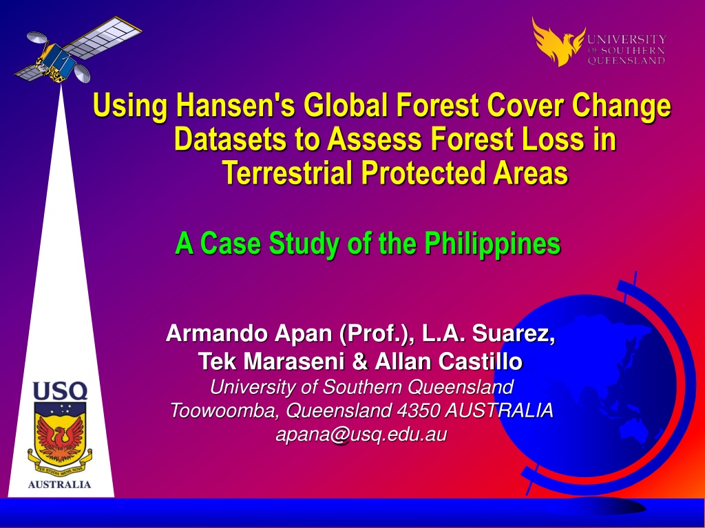
Using Hansen's Global Forest Cover Change Datasets to Assess Forest Loss in Terrestrial Protected Areas A Case Study of the Philippines Armando Apan (Prof.), L.A. Suarez, Tek Maraseni & Allan Castillo University of Southern Queensland Toowoomba, Queensland 4350 AUSTRALIA apana@usq.edu.au
Outline of Presentation Introduction Methods Study Area Data Acquisition Analysis of forest loss Logistic regression analysis Results and Discussion Rate and extent of forest loss Logistic regression models Conclusions p. 2/24
Introduction Deforestation in the Philippines has been rampant and rapid. Forests 4 Climate Forest cover has declined from 17.1 M ha (1937) to 8.0 M ha (2015) Protected Areas are effective in reducing deforestation; some are not. JLR, 2010 Need to understand the drivers of deforestation in protected areas. Sharif Mukul, 2016 p. 3/24
Introduction This study assessed: forest cover loss in all terrestrial protected areas (PAs) of the entire Philippines covering 198 PAs with a total area of 4.68 million ha AFP/File, 2013 p. 4/24
Introduction Objectives: 1. to compare the rate and extent of forest loss: entire country vs. terrestrial protected areas vs. buffer areas Philippine EnviroNews 2. to determine the significance and magnitude of the relationships between forest cover and selected spatially explicit variables. p. 5/24
Methods Study Area covers 298,170 km2 tropical climate 101 million people (2016) one of world s top biodiversity-rich countries p. 6/24
Methods Data Acquisition 1. Global Forest Change map (Hansen et al., 2013) derived from Landsat imagery (30m) analysis performed using Google Earth Engine (cloud platform) Trees are defined as all vegetation taller than 5m in height forest loss: a stand-replacement disturbance or the complete removal of tree cover canopy. p. 7/24
Methods Data Acquisition used time-series spectral metrics as key algorithm output layers: tree cover (2000); forest loss and gain (2000-2012) reported accuracy of 99.6% free download p. 8/24
Methods Yearly Forest Cover Loss (2001-2012) p. 9/24
Methods Data Acquisition 2. World Database on Protected Areas (UNEP-WCMC, 2015) p. 10/24
Methods Data Acquisition Land use (ISCGM, 2011) Population Density (WorldPop, 2015) Digital Elevation Model (SRTM) Land Cover (NAMRIA, 2013) Road(OpenStreetMap, 2015) River(Lehner et al., 2006) p. 11/24
Methods p. 12/24
Methods p. 13/24
Methods Analysis of Forest Extent and Rate of Forest Loss Extent of Forest Loss in TPA >10% Tree Canopy Cover Tree Canopy Cover (2000) Data Processing & Analysis Rate of Forest Loss in TPA Forest Cover Loss (2001-2012) Terrestrial Protected Areas (TPA) Sample Points (300,000) Protected Areas Assess accuracy of forest cover map (2012) Logistic Regression Analysis Land Use Extract forest areas with >10% canopy cover Elevation Digital Elevation Model Slope Aspect Distance from River Intersect with Forest Cover Loss maps River Logistic Regression Model of Forest Loss in TPA Distance from Road Road Dist. Closed Canopy Forest Intersect with Protected Areas map Dist. Open Canopy Forest Land Cover Dist. Cropping Areas Population Density p. 14/24
Methods Data Processing & Analysis Logistic Regression estimated the probability of deforestation occurrence modelled the relationship between: independent variables (11 maps) dependent variable ( no forest loss , forest loss ) used Spearman's rho to assess any multi-collinearity issues p. 15/24
Results and Discussion Overall Accuracy of Hansen dataset (2012) : 93.1% Rate of forest loss in protected areas (vs. entire Philippines) is marginally lower Protected Area Parameter Philippines Total Forest Loss by 2012 (ha) 529,675 97,007 Average Forest Loss (ha/yr) over 12 years 44,140 8,084 2.69% 2.59% Rate of Forest Loss (%) over 12 years But it is equivalent to a total of 3,738 ha over 12 years p. 16/24
Results and Discussion Annual and cumulative forest loss in the Philippines p. 17/24
Results and Discussion Inside PAs forest loss rate was lower (1.87%) vs. 2-km buffer (2.63%). Forest loss in buffer zones is 1.4 times (40.6%) higher than the PAs. p. 18/24
Results and Discussion But some PAs have phenomenal forest loss rates (e.g. 21%) Cumulative Forest Loss Area (ha) Cumulative Forest Loss Rate (%) Forest Area (ha) Protected Area 2,753 6,317 643 3,267 419 578 660 56 277 31 20.98% 10.45% 8.65% 8.47% 7.44% Magapit Angat Fuyot Springs Dinadiawan River Sohoton p. 19/24
Results and Discussion Some areas with vast areas of forest loss (e.g. 48,583 ha) Cumulative Forest Loss Area (ha) Cumulative Forest Loss Rate (%) Forest Area (ha) (2000) Protected Area 48,583 12,340 5,985 3,531 2,880 980,537 442,095 159,160 120,590 274,905 4.95% 2.79% 3.76% 2.93% 1.05% Palawan Samar Quirino Unnamed NP Northern S. Madre p. 20/24
Results and Discussion Spatial predictor variables have no or weak relationships with forest cover loss. Spearman Correlation (vs. Forest Loss) -0.305 -0.220 0.179 -0.170 0.163 -0.137 0.093 -0.055 -0.033 -0.029 -0.023 Variables Elevation Distance from cropping area Population density Distance from road Distance from closed canopy forest Slope Distance from open canopy forest Land cover Land use Distance from river Aspect p. 21/24
Results and Discussion Model fit and classification accuracies were not good, with only 15% of the variance explained. Model % Correct Baseline, intercept-only (no regression model applied) Socio-economic variables only 50.0 58.9 Proximity variables only 61.1 Topographic variables only 62.9 All variables included 64.9 Only 15% improvement p. 22/24
Conclusions Global Forest Cover Change datasets: useful for the country-wide assessment of forest loss. Protected areas are generally effective in reducing deforestation. However, some areas indicate the ineffectiveness of PAs. Selected variables are not reliable for predictive modelling of forest loss. p. 23/24