GOES-18 ABI Rainfall Rate/QPE Provisional Product Overview
The GOES-18 ABI Rainfall Rate/QPE Provisional product provides estimates of instantaneous rainfall rate using single-image data from five spectral bands. Separate equations for rain/no rain discrimination and rain rate retrieval were calibrated against microwave rain rates. The product offers a measurement range of 0-100 mm/h with specified accuracy and precision levels. Real-time updates of calibration coefficients are allowed, but the operational code is fixed.

Download Presentation

Please find below an Image/Link to download the presentation.
The content on the website is provided AS IS for your information and personal use only. It may not be sold, licensed, or shared on other websites without obtaining consent from the author. Download presentation by click this link. If you encounter any issues during the download, it is possible that the publisher has removed the file from their server.
E N D
Presentation Transcript
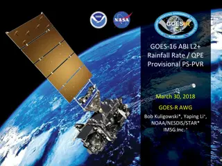
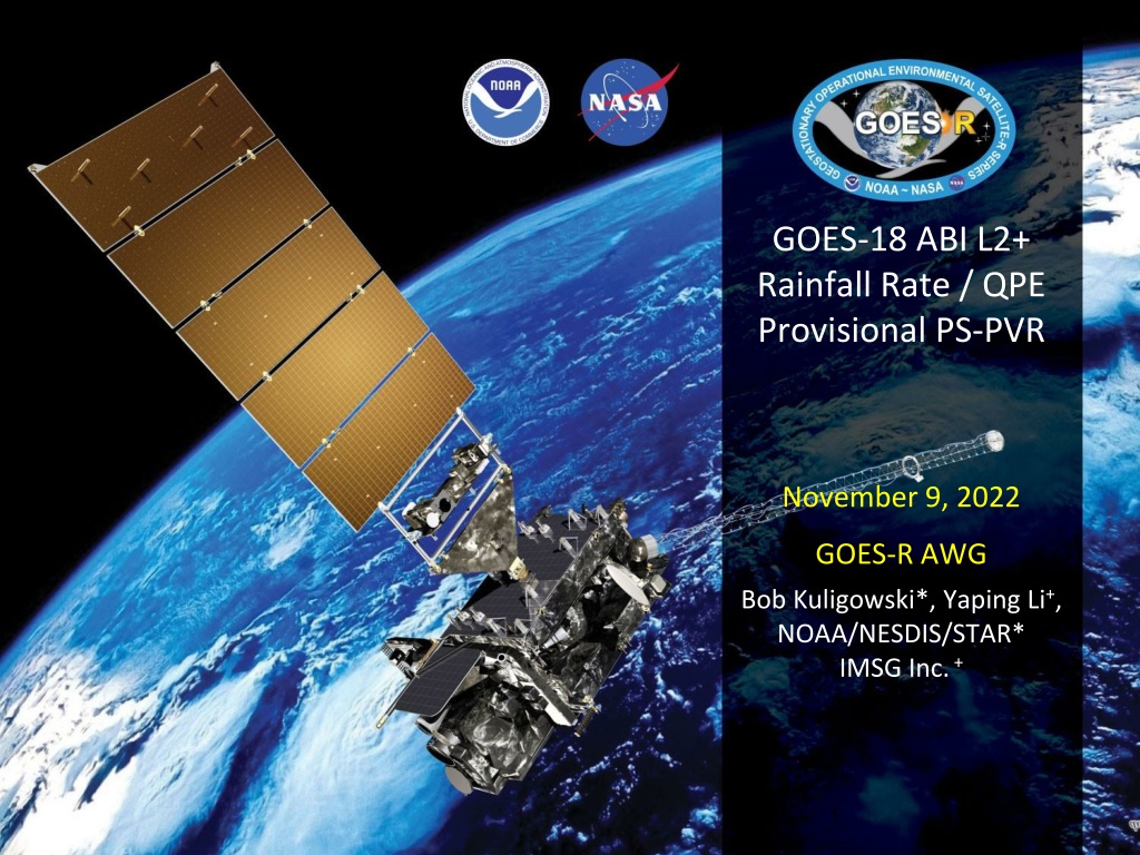
GOES-18 ABI L2+ Rainfall Rate / QPE Provisional PS-PVR November 9, 2022 GOES-R AWG Bob Kuligowski*, Yaping Li+, NOAA/NESDIS/STAR* IMSG Inc.+ 1
Outline Product Overview Product Quality Evaluation Comparison with Spec Comparison with GOES-17 and with GOES-18 Enterprise Provisional Maturity Assessment Summary and Recommendations 2
GOES-18 Rainfall Rate / QPE L2 Product Provisional PS-PVR PRODUCT OVERVIEW 3
Product Overview The GOES-R ABI Rainfall Rate / QPE uses single-image data from five different spectral bands to retrieve estimates of instantaneous rainfall rate at the full IR pixel scale for the entire full disk. These five bands are transformed into 16 predictors, 8 of which are nonlinear transformations of the first 8: T6.2 - 174 K T8.5 - T7.34+ 30 K T11.2- T7.34+ 20 K T8.5- T11.2+ 30 K T11.2- T12.3+ 20 K S = 0.568*(Tmin,11.2-217 K) + 25 K Tavg,11.2 - Tmin,11.2 (S 25 K) + 85 K T7.34 - T6.19+ 30 K Separate pairs of predictors from this set are used for rain / no rain discrimination (linear only) and rain rate retrieval (both). NOTE: This product has no precedents; i.e., it uses only L1b radiances as input. 4
Product Overview Separate rain / no rain and rain rate retrieval equations were calibrated against microwave rain rates (CPC MWCOMB). The algorithm was designed to allow real-time updating of the calibration coefficients, but the operational code has a fixed set. Separate calibration equations were developed for each 30 latitude band and each of 3 different cloud types: Type 1 ( water cloud ): T7.34 < T11.2 and T8.5-T11.2 < -0.3 K Type 2 ( ice cloud ): T7.34 < T11.2 and T8.5-T11.2 -0.3 K Type 3 ( cold-top convective cloud ): T7.34 T11.2 The resulting rain rates are then adjusted to match the distribution of the calibration MW rain rates using LUTs based on PDF matching of the initial output rain rates with MWCOMB. 5
Product Overview: Specifications Rainfall Rate / QPE Geographic Coverage Full Disk Measurement Range 0-100 mm/h Measurement Accuracy Refresh Rate Measurement Precision Specification 6 mm/h at a rate of 10 mm/h with higher values at higher rates* 15 min (Modes 3/4); 10 min (Mode 6) 9 mm/h at a rate of 10 mm/h with higher values at higher rates* * Quantitative evaluation only for satellite zenith angles < 70 and latitudes equatorward of 60 6
Review: Time-Line/Context 1 March 2022: GOES-T Launch 14 March 2022: GEO orbit attained (became GOES-18) 11 May 2022: RRQPE L2 product declared Beta validated 6 June 2022: L2 product dissemination begins at 136.8 W; qualitative RRQPE L2 product validation begins. 28 July 2022: L1b imagery declared Provisionally validated; quantitative product validation begins. 7
GOES-18 Rainfall Rate / QPE L2 Product Provisional PS-PVR PRODUCT QUALITY EVALUATION 8
Provisional PLPT (per RRQPE RIMP v2.0) PLPT ID Descriptive Title % Complete Results AWG POC Assess accuracy and precision of product ABI-FD_QPE03 100 Complete AWG 9
Top Level Evaluation Current Status Future Outlook The Baseline algorithm fully meets performance spec when validated over the FD vs. GPM DPR. However, when validated over the CONUS, Precision spec is not met while Accuracy spec is. The CONUS validation is considered to be less reliable in general for GOES-West because of gaps in radar coverage, higher satellite viewing angle, and orographic effects. Regardless, the Enterprise algorithm does meet spec by very comfortable margins against both validation data sets; however, it exhibits a strong dry bias for heavy rainfall and efforts are ongoing to address it. The transition to the Enterprise algorithm will result in a significantly improved performance vs. spec. However, the ongoing dry bias is a concern, particularly for an algorithm containing multiple measures to minimize bias during the calibration process. Efforts are ongoing to address this issue with the least possible amount of code refactoring. Quantitative Performance: (Accuracy, Precision) 10
Results of ABI-FD_QPE03 Spec Vs. Q3 (CONUS) Vs. DPR (FD) Accuracy (mm/h) 6.00 5.62 5.73 Precision (mm/h) 9.00 9.70 8.85 Accuracy=mean error for rain rates of 9.5-10.5 mm/h Precision=68thpercentile of the distribution of errors for rain rates of 9.5-10.5 mm/h Time period: 98 days (28 July-2 November 2022); only pixels with latitude 60 and satellite zenith angle 70 were considered per requirements. The baseline algorithm does not meet precision spec over the CONUS vs. gauge-adjusted MRMS Q3 but meets precision spec Spec is fully met over the FD vs. GPM DPR. 11
Caveats re: CONUS Validation MRMS Radar Quality Index 0000 UTC 9/1/22 GOES-18 Zenith Angle Relatively poor radar coverage over the western US (only RQI>0.8 used for validation) Higher zenith angles for GOES-West than GOES-East Orographic effects are significant over the western US but not accounted for 12
Comparisons with G17 and G18 Enterprise Spec Vs. Q3 Vs. DPR Baseline G17 G18 Enterprise G18 Baseline G17 G18 Enterprise G18 Accuracy (mm/h) 6.00 6.11 5.63 3.39 6.38 5.73 4.64 Precision (mm/h) 9.00 9.70 9.70 6.00 9.38 8.86 7.76 Validation period: 93 days (2 Aug-2 November 2022 inclusive) GOES-18 Baseline rain rates are, as expected, a significant improvement over GOES-17 For GOES-18 the Enterprise algorithm comfortably meets spec in both coverage areas. 13
Comparisons with G18 Enterprise The good: significant reduction in false alarms / grossly overdone light rainfall. The bad: more frequent underestimation of heavy rainfall. Similar results vs. MRMS, but see previous caveat. 14
Comparisons with G17 Ops and G18 Enterprise The good: G18 Baseline has less false alarm / overestimated rain rates than G17 Baseline, and G18 Enterprise improves further. The bad: G18 Enterprise is significantly too dry for high rain rates. Overall, the Enterprise algorithm produces better estimates of light rain for G18 but somewhat worse estimates of heavy rain. 15
So Why is Enterprise Too Dry? This has been a known problem the Hydrology Team has been attempting to address for years. What we know: o The RH adjustment contributes by excessively reducing high rain rates. o However, there is still a dry bias even without an RH adjustment. o There is no issue with the rain / no rain adjustment incorrectly classifying heavy-rain pixels as non-raining. Too Wet Too Dry 16
So Why is Enterprise Too Dry? We ve also confirmed that it is not caused by biases in the MWCOMB rain rates used to calibrate the algorithm it is actually wet compared to gauge-adjusted MRMS Q3: 17
So Why is Enterprise Too Dry? The algorithm should produce an unbiased result because the initial RRQPE outputs are PDF-matched with the MWCOMB rain rates to ensure that their distributions are identical. This has been tested repeatedly by running retrievals on the calibration data and the resulting distribution of the Enterprise rain rates perfectly matches that of MWCOMB. Adjusted rain rates / MWCOMB rain rates Unadjusted rain rates 18
So Why is Enterprise Too Dry? The algorithm should produce an unbiased result because the initial RRQPE outputs are PDF-matched with the MWCOMB rain rates to ensure that their distributions are identical. This has been tested repeatedly by running retrievals on the calibration data and the resulting distribution of the Enterprise rain rates perfectly matches that of MWCOMB. Adjusted rain rates / MWCOMB rain rates Unadjusted rain rates 19
Ongoing Efforts Recent experiments that increased the amount of calibration data (in case the training data set was too small to be suitably representative) did not make a significant difference. One significant challenge is that regression assumes normally distributed rain rates, but rain rates are very highly skewed to the left. The PDF adjustment should (in theory) adjust for this, but during calibration there is very little penalty for getting the heavy rain rates wrong (i.e., too light). Therefore, experiments are ongoing to flatten the distribution of training rain rates by replacing some of the IR-MWCOMB matched training data with light rain rates with duplicates of the heavy rain rate matched pixels. 20
Top Level Summary of Product Quality The Baseline GOES-18 Rainfall Rate / QPE Product meets spec over the FD vs. GPM DPR, and meets accuracy but not precision spec over the CONUS vs. MRMS Q3. The Baseline GOES-18 product also shows equal to improved accuracy and precision relative to GOES-17 (which is affected by the ABI LHP issue) Potential challenges with the CONUS validation include Gaps in radar coverage High satellite zenith angle (limb darkening) over most of the validation region compared to GOES-16 Lack of accounting for orography by the algorithm, which will have more noticeable impacts in the western US than in the eastern US 21
GOES-18 Rainfall Rate / QPE L2 Product Provisional PS-PVR PROVISIONAL MATURITY ASSESSMENT 22
Provisional Validation Preparation Activities Assessment Validation activities are ongoing and the general research community is now encouraged to participate. Validation activities are ongoing. The overestimation of light rain will be addressed by the transition to Enterprise; however, there are issues with underestimation of heavy rain by the Enterprise algorithm that are still being investigated. Severe algorithm anomalies are identified and under analysis. Solutions to anomalies are in development and testing. Incremental product improvements may occur pending PS-PVR outcome; significant product improvement expected after transition to Enterprise code. Incremental product improvements may still be occurring. 23
Provisional Validation End State Assessment Product performance has been demonstrated through analysis of a small number of independent measurements obtained from select locations, periods, and associated ground truth or field campaign efforts. This has been demonstrated. Product analysis is sufficient to communicate product performance to users relative to expectations (Performance Baseline). This has been communicated in PS-PVR. Documentation of product performance exists that includes recommended remediation strategies for all anomalies and weaknesses. Any algorithm changes associated with severe anomalies have been documented, implemented, tested, and shared with the user community. These are documented in this slide deck and will be documented in a separate ReadMe file. Testing will be documented in a PLPT Report. Testing has been fully documented. Product is ready for operational use and for use in comprehensive cal/val activities and product optimization. We concur. 24
Issues and Status ADRs Needing Resolution for Full VAL No outstanding ADRs at this time. 25
GOES-18 Rainfall Rate / QPE Product Provisional PS-PVR SUMMARY & RECOMMENDATIONS 26
Path to Full Validation - PLPTs PLPT ID Descriptive Title Assess accuracy and precision of Rainfall Rate / QPE product vs. reference / ground truth data. ABI-FD_QPE03 AWG Hydrology Team will conduct these tests to further evaluate the L2 Rainfall Rate / QPE product quality. Full test plans and procedures are given in the Rainfall Rate / QPE Readiness, Implementation, and Management Plan (RIMP) v2.0 27
Summary The Baseline GOES-18 Rainfall Rate / QPE product meets spec over the entire FD when validated against GPM DPR, but does not meet precision spec when validated against MRMS Q3 over the CONUS. Validation of GOES-West over the CONUS is challenging in light of poorer radar coverage, higher ABI viewing angles, and orographic factors over the western US, so the DPR validations are considered to be more representative of overall performance. The Enterprise rain rates from GOES-18 comfortably meet requirements; however, there are ongoing issues with underestimation of heavy rainfall that continue to be worked on. 28
Recommendation AWG Hydrology Team recommends declaring that the GOES-18 Rainfall Rate / QPE product has reached Provisional Maturity as defined by the GOES-R Program. 29
Questions? 30