Reconstructing Sea Ice Extent from Early Nimbus Satellites Research
Researchers at the National Snow and Ice Data Center, University of Colorado, are working on reconstructing sea ice extent using data from the 1960s Nimbus series satellites. By digitizing and processing old satellite data, they aim to extend sea ice records back to 1964, potentially adding 16 more years to the existing dataset. The project involves recovering and analyzing data from early Nimbus satellites to create a comprehensive record of polar sea ice extent.

Download Presentation

Please find below an Image/Link to download the presentation.
The content on the website is provided AS IS for your information and personal use only. It may not be sold, licensed, or shared on other websites without obtaining consent from the author. Download presentation by click this link. If you encounter any issues during the download, it is possible that the publisher has removed the file from their server.
E N D
Presentation Transcript
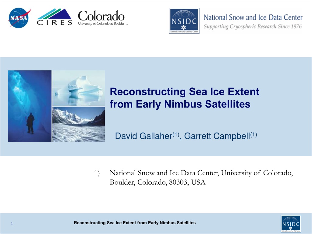
Reconstructing Sea Ice Extent from Early Nimbus Satellites David Gallaher(1), Garrett Campbell(1) 1) National Snow and Ice Data Center, University of Colorado, Boulder, Colorado, 80303, USA Reconstructing Sea Ice Extent from Early Nimbus Satellites 1
The 1960s NIMBUS Series HRIR Sensor Spacecraft Launch date End of Operation Sensors Nimbus-1 Aug. 28, 1964 Sep 22, 1964 AVCS, HRIR Nimbus-2 May 15, 1966 Nov 15, 1966 AVCS, HRIR, MRIR Nimbus-3 Apr. 14, 1969 Jan. 31, 1970 IDCS, HRIR, MRIR Advanced Vidicon Camera System (AVCS) to provides visible light images (4-bit, 3km nadir ) Image Dissector Camera System (IDCS) provides improved visible light images (8-bit, 5km nadir) Medium Resolution Infrared Radiometer (MRIR) to measure electromagnetic radiation emitted in five wavelength bands (Nimbus II & III) 50km High Resolution Infrared Radiometer (HRIR) to map the Earth at night (7km nadir) Reconstructing Sea Ice Extent from Early Nimbus Satellites 2
Determining 1960s Sea Ice Extent - Project Impetus Could 50-year old 1960s satellite data can be used to create polar sea ice extent on a monthly basis? Except for the original science team, much of the data has likely never been seen or been made available. The original engineers and researchers are now mostly in their late 70s and 80s, and time was running out to contact them. The tapes were disintegrating and film scanners are becoming obsolete. The objective was to get this data to earth science researchers in a modern format (NetCDF). This could extend the satellite sea ice 1979-2014 records by as much as 16 years. Reconstructing Sea Ice Extent from Early Nimbus Satellites
Nimbus Sensors (Visible and Infrared) Devon and Baffin Islands, AVCS Image September 16, 1964 Nimbus II HRIR Infrared False Color, Asia, September 23, 1966 Ground Resolution as good as 1 km, 250,000 + images NCDC had the only known copy Note Himalayan Plateau and Pacific typhoons National Archives had only tapes Reconstructing Sea Ice Extent from Early Nimbus Satellites
Extraction & Recovery of Nimbus data Processing of Visible Data: AVCS/IDCS: 0.5-7.5um Digitizing film 250,000 images Scanning over 1,000,000 frames Marking bad data Navigating Merge with NORAD ephemeris data Merging into time composite Metadata development Need to enter the time of every image Need to designate the center Not possible to automate because some of the information is not readable We were able to interpolate between good images to guess the times Improve image location to 20km (From NCDC Ashville, NC) Reconstructing Sea Ice Extent from Early Nimbus Satellites 5
Extracting Data from Nimbus Film Record (Note: Images were pictures of TV monitor on tape playback) Student monitoring of automatic digitizing machine (Kodak HR500) and inspection of every image. They then created the metadate for every image. 1960 s Archive = BW Film The film contains images that were recorded at random locations along the film reel. (ie 4 apart then 7 then 5 etc). Therefore all the film was scanned and the images were programmatically rebuilt About 4% of the Nimbus 1 data was rejected Reconstructing Sea Ice Extent from Early Nimbus Satellites
Video Game Like Metadata Development Reconstructing Sea Ice Extent from Early Nimbus Satellites
Visible Imagery Process: Scan, Annotate the Time, Center of Every Image and Check Navigation Image Scanning The images were acquired 91 seconds apart. Navigation based on time and camera number Center Selection Reconstructing Sea Ice Extent from Early Nimbus Satellites
Bad Data Flagging and Calibration Four different gray wedges, in Nimbus 2 case. Reconstructing Sea Ice Extent from Early Nimbus Satellites
Results: Comparing Historic Imagery Sept 1964 NIMBUS/AVCS Sept 2011 TERRA/MODIS Independence Glacier Northern Greenland Reconstructing Sea Ice Extent from Early Nimbus Satellites 10
1964 NIMBUS-I Antarctic Sea Ice Extents Nimbus I Antarctic visual detection analysis. Ice edge determinations are in blue while the 1979-2012 average SSM/I ice extent is in magenta. AVCS Composite 7-day minimum brightness for September 1964. Note smooth grey extent of sea ice as compared to the noisy open water. Reconstructing Sea Ice Extent from Early Nimbus Satellites
Average Extent Analysis 1964 and 2014 Compared to 1964 time composite minimum brightness Nimbus I Reconstructing Sea Ice Extent from Early Nimbus Satellites
20.11 x10⁶ km2 19.71 0.19x10⁶ km2 17.45 0.25x10⁶ km2 16.93 0.27x10⁶ km2 15.89 0.29x10⁶ km2 New 2014 Record Maximum Nimbus I -1964 The 1960 s Antarctic Variability was Much Greater Than Expected. Nimbus II -1966 Nimbus III -1969 Reconstructing Sea Ice Extent from Early Nimbus Satellites 13
NSIDC Product Statistics. October 2014 Reconstructing Sea Ice Extent from Early Nimbus Satellites
Summary Data from these 1960 s satellites is generally forgotten as a data source. We have found the data was of reasonable quality but the output products were limited due to the computer processing technology of the era. The Nimbus data represents the oldest digital satellite data in NASA s data holdings (both visible and infrared). These data are now stored in modern formats and are available for general use via NASA s data access system: http://reverb.echo.nasa.gov/reverb, and at http://nsidc.org/data/nimbus/order-data.html The Nimbus Data Rescue Project: Nimbus I, II, III was supported by NASA contract #NNG08HZ07C as a subtask to NSIDC at the University of Colorado. Reconstructing Sea Ice Extent from Early Nimbus Satellites 15
Thank You Nimbus III IDCS Arctic image September 2, 1969 centered off NW Greenland Nimbus I AVCS Antarctic image September 1964 with a distinct sea ice boundary Reconstructing Sea Ice Extent from Early Nimbus Satellites 16


")