Understanding ASPRS UAS Mapping Certification Process
ASPRS offers accredited certifications in geospatial disciplines such as photogrammetry and GIS. The certification levels include Professional/Scientist, Technologist, and Intern, each requiring specific experience or coursework. Recertification every 4 years is mandatory, with no test required. The application process involves form submission, reference requests, committee review, and an exam with individual proctors. For more details on the certification process, qualifications, and application steps, refer to the provided information.

Download Presentation

Please find below an Image/Link to download the presentation.
The content on the website is provided AS IS for your information and personal use only. It may not be sold, licensed, or shared on other websites without obtaining consent from the author. Download presentation by click this link. If you encounter any issues during the download, it is possible that the publisher has removed the file from their server.
E N D
Presentation Transcript
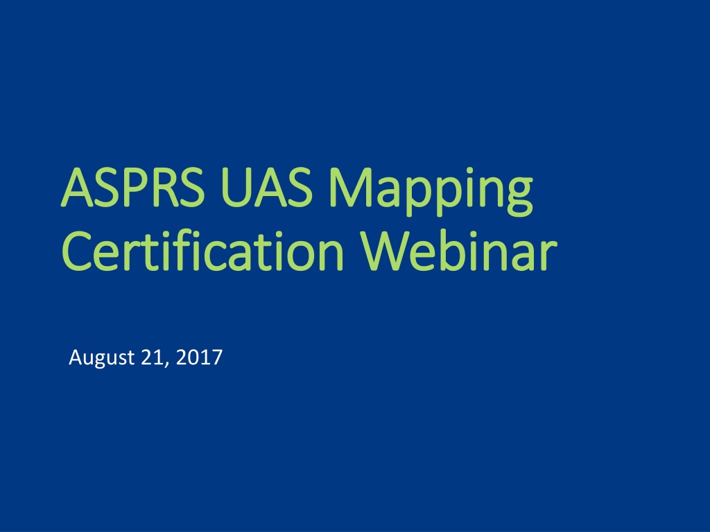
ASPRS UAS Mapping ASPRS UAS Mapping Certification Webinar Certification Webinar August 21, 2017
Presenters Presenters Eric Andelin eric.andelin@wginc.com Eric Andelin eric.andelin@wginc.com Karen Schuckman Karen Schuckman kschuckman@asprs.org kschuckman@asprs.org Jesse Winch Jesse Winch jwinch@asprs.org jwinch@asprs.org All questions related to certification should go to All questions related to certification should go to certification@asprs.org certification@asprs.org Questions can be entered in the questions box to the right Questions can be entered in the questions box to the right Technical problems, please send to the chat box Technical problems, please send to the chat box
Agenda Agenda Certifications and Certifications and Accreditation Application process Application process UAS Mapping Certification UAS Mapping Certification Qualifications Qualifications Content/Types of questions Content/Types of questions Technical symposium Technical symposium Questions Questions Accreditation
Certification Certification and Accreditation the action or process of providing someone or something with an official document attesting to a status or level of achievement. ASPRS offers accredited certifications in multiple geospatial disciplines. Certification does not trump licensure. Our certifications attest to ones ability, experience and understanding of specific geospatial skillset (ex: photogrammetry) not as a subset of surveying which is some states may require licensure, but as a specialized practice.
Certifications Offered Certifications Offered ASPRS offers 5 certification subject areas Photogrammetry Remote Sensing GIS LiDAR UAS Accreditation Council of Engineering and Scientific Specialty Boards (CESB) www.cesb.org www.cesb.org Recertification is required every 4 years No test required for recertification
Certifications Levels Certifications Levels ASPRS offers 3 levels of certification Professional / Scientist 6 years of relevant experience Technologist 3 years of relevant experience Intern Relevant university level course work Advisor recommendation
Application Process Application Process 1. Submit application form with fee 2. Request references 3. Committee review 4. Sit for exam Exams administered by individual proctors Scheduled by mutual convenience at an agreed upon location
UAS Mapping UAS Mapping Certification Certification
Qualifications Qualifications Certified Mapping Technologist UAS 4 references 3 years relevant experience Application form (ASPRS Members $150 Non Members $275) Pass exam Certified Mapping Scientist UAS 4 references 6 years relevant experience Application form (ASPRS Members $150 Non Members $275) Pass exam Allowed one reference book of choice No electronic devices
About the Exams About the Exams Certified Mapping Technologist UAS 50 Multiple Choice Questions Certified Mapping Scientist UAS 100 Multiple Choice Questions 25% UAS Mapping Specific 75% Fundamental Geospatial Concepts Time Limit 4 hours 25% UAS Mapping Specific 75% Fundamental Geospatial Concepts Time Limit 2 hours Allowed one reference book of choice No electronic devices
Reference Material Reference Material Textbook 1: Textbook 1: Introduction to the Unmanned Aircraft Systems, edited by Richard K. Barnhart, Stephen B. Hottman, Douglas M. Marshall J.D., Eric Shappee. Textbook 2: Textbook 2: Introduction to UAV Systems (Aerospace Series) 4th edition, By Paul G. Fahlstrom, Thomas J. Gleason. 2012, Wiley, John & Sons, Incorporated The standard texts that we recommend are: The standard texts that we recommend are: Remote Sensing and Image Interpretation - 7th edition, Lillesand and Kiefer 2015 Elements of Photogrammetry 4thedition: With Applications in GIS, Wolf, Dewitt and Wilkerson, 2014 Manual of Photogrammetry, 6th edition, J. Chris McGlone, editor, ASPRS, 2013 Manual of Geographic Information Systems, Marguerite Madden, editor, ASPRS, 2009 Manual of Airborne Topographic Lidar, Michael S. Renslow, editor, ASPRS, 2015 Glossary of Mapping Sciences, Stephen DeLoach, editor, ASPRS, 1994 Fundamentals of Remote Sensing and Airphoto Interpretation, Avery & Berlin, 5th edition, 1992
Take the Exam Take the Exam Wednesday October 25th
Be Among the First to Be Among the First to Become Certified Become Certified ASPRS will proctor the first exam at the commercial UAV Expo in ASPRS will proctor the first exam at the commercial UAV Expo in October October Applications along with application fee must be submitted by September 15th Applicants will be notified of approval by October 1st Exam date will be Wednesday October 25th
UAS Technical UAS Technical Symposium Symposium
Technical Symposium Technical Symposium For people interested in producing mapping quality deliverables Helpful for the ASPRS UAS Mapping Certification Focusing on UAS mapping topics only Not intended as prep for FAA certification
Symposium: Tuesday Oct 24th. Symposium: Tuesday Oct 24th. Fee: $250 Pre Fee: $250 Pre- -Registration / $300 On Site. Registration / $300 On Site. Topics Include: Topics Include: Introduction to ASPRS: This session will introduce the attendee to ASPRS Introduction to ASPRS: This session will introduce the attendee to ASPRS Project Planning...Key components to producing accurate maps: This session will cover assessing client needs (project require Project Planning...Key components to producing accurate maps: This session will cover assessing client needs (project requiremen ments). ts). Control & Accuracy...targeting, survey, RTK, PPK...and more: This session will cover the various methods available to create Control & Accuracy...targeting, survey, RTK, PPK...and more: This session will cover the various methods available to create del meeting various accuracy requirements. meeting various accuracy requirements. deliverables iverables Processing tools: This session will cover the various methods of processing imagery, including Structure From Motion (SFM), t Processing tools: This session will cover the various methods of processing imagery, including Structure From Motion (SFM), true Stereo Photogrammetry and LiDAR. Methodology and benefits of each will be discussed as well as tools/ methods of extraction. Stereo Photogrammetry and LiDAR. Methodology and benefits of each will be discussed as well as tools/ methods of extraction. rue Processing Reports: This session will cover the differences between processing reports typically produced from software packa Processing Reports: This session will cover the differences between processing reports typically produced from software packages What they tell you and what they do not tell you. How to interpret the reports and glean information that might help solve pr What they tell you and what they do not tell you. How to interpret the reports and glean information that might help solve probl processing. processing. ges. . oblems in ems in Understanding your data (right or wrong) and solving issues: This session will look at some typical issues in processing UAS Understanding your data (right or wrong) and solving issues: This session will look at some typical issues in processing UAS ima helping the attendee to spot and resolve them. helping the attendee to spot and resolve them. imagery, gery, Reporting Accuracy: the ASPRS is recognized as a leader in the development of accuracy standards for geospatial products. Th Reporting Accuracy: the ASPRS is recognized as a leader in the development of accuracy standards for geospatial products. This is session will discuss these standards and the means of reporting accuracy to specific industry standards. session will discuss these standards and the means of reporting accuracy to specific industry standards. UAS Mapping Certification: This session will introduce attendees to the first nationally accredited UAS certification for map UAS Mapping Certification: This session will introduce attendees to the first nationally accredited UAS certification for mappin the past two years the ASPRS has been working on an certification in UAS for mapping similar to Photogrammetry and LiDAR the past two years the ASPRS has been working on an certification in UAS for mapping similar to Photogrammetry and LiDAR certifications already available. Topics discussed will include application requirements, what to expect on the test, and ho certifications already available. Topics discussed will include application requirements, what to expect on the test, and how t for the test. for the test. ping. Over g. Over w to prepare o prepare More information can be found here: More information can be found here: https://www.expouav.com/asprs https://www.expouav.com/asprs- -uas uas- -technical technical- -symposium/ symposium/